About
Directions
From SLC, head West on I-80 and take exit 99 for Tooele, UT. Drive 3.4 miles, then turn right on HWY 138. Then drive 10.8 miles and turn left on S West St (you will also see a large brown sign for South Willow Canyon here). Drive 4.3 miles then turn right on S. Willow Drive for South Willow Canyon. Drive to the very end of the road to the trailhead. It’s a dirt road, but well-graded. Any car can make it. There is a port-a-potty at the TH. The drive from SLC is about 1 hour 20 minutes.
Here’s a driving map
Trail Info
Distance: 9 miles RT (Loop)
Elevation gain: 3,700 ft
Time: 6-8 hours
Dog friendly? Yes, off leash
Kid friendly? Ages 10+ depending on peak bagging experience
Fees/Permits? None
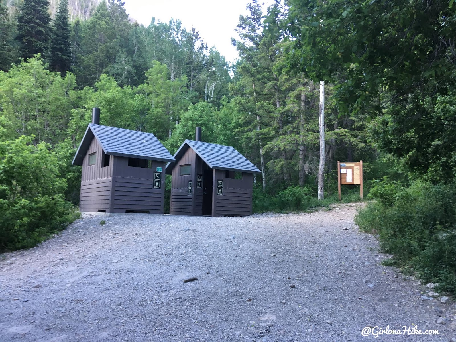
The trail starts at the end of the road in S. Willow Canyon.
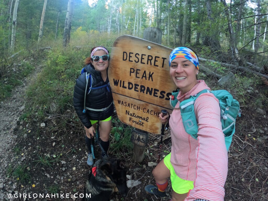
You’ll quickly pass the official Deseret Peak Wilderness sign. A good photo op!
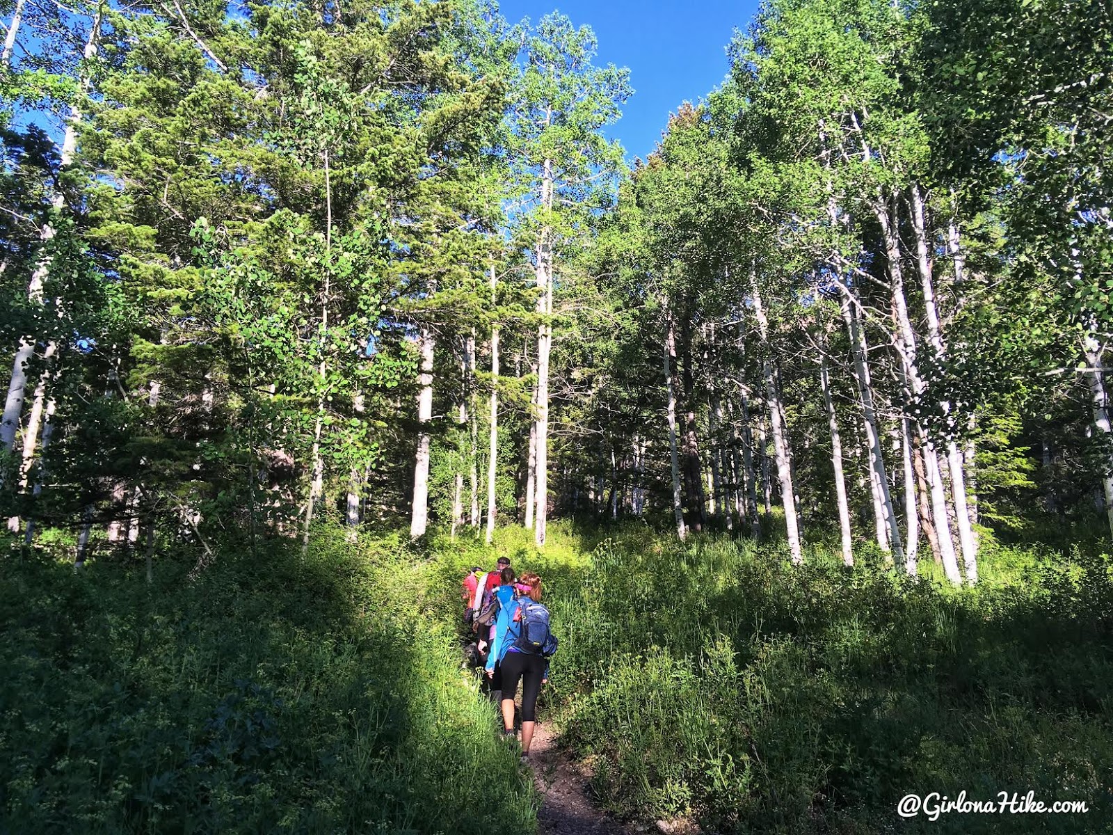
The trail gradually gains elevation for the first 2 miles.
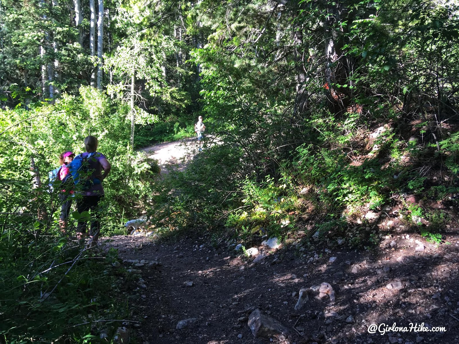
At 1.6 miles you’ll come to an unsigned trail split – stay left and cross the creek. This is the first and last good water stop for the dogs for the next 7 miles (until you return back down the loop).
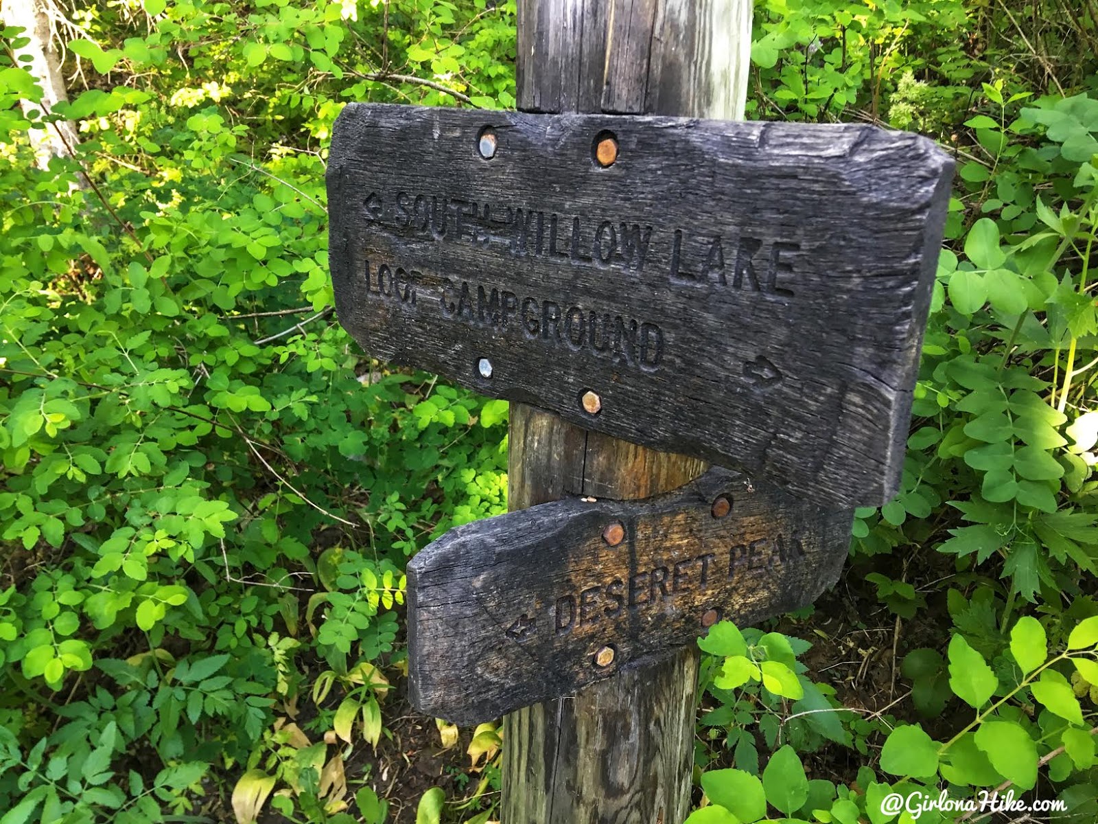
Across the creek is where you’ll see the trail split, stay left. On your way back down the loop you’ll come in from the right.
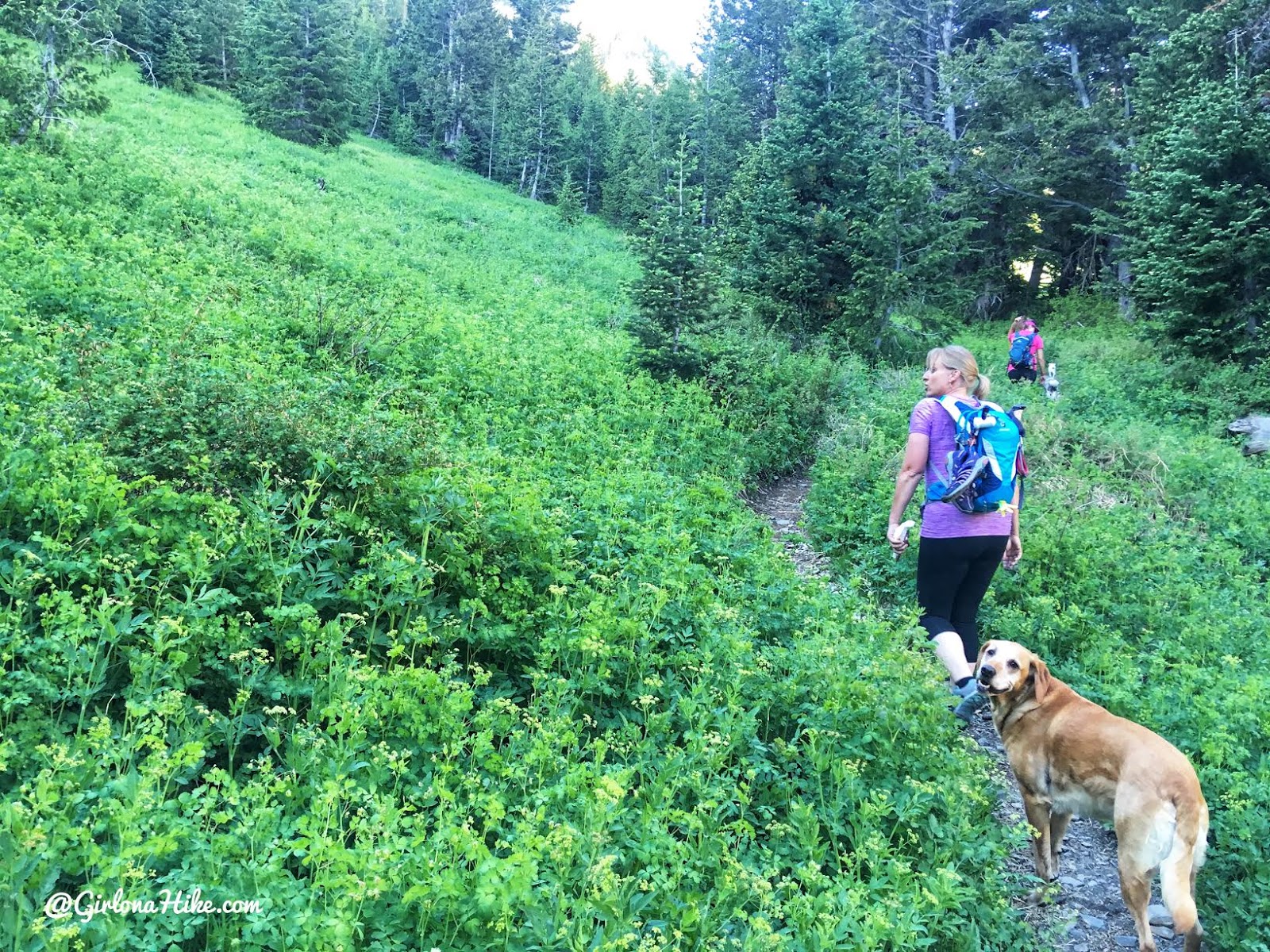
The next mile is very shaded and green!
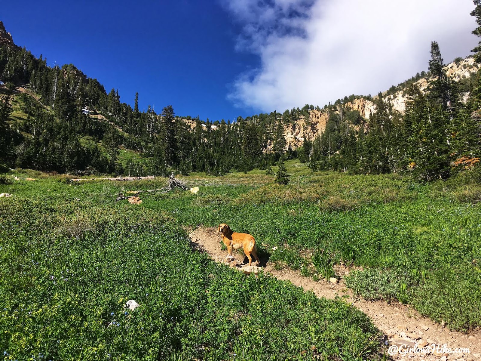
The last 1/2 mile leading up to the saddle starts to get steeper.
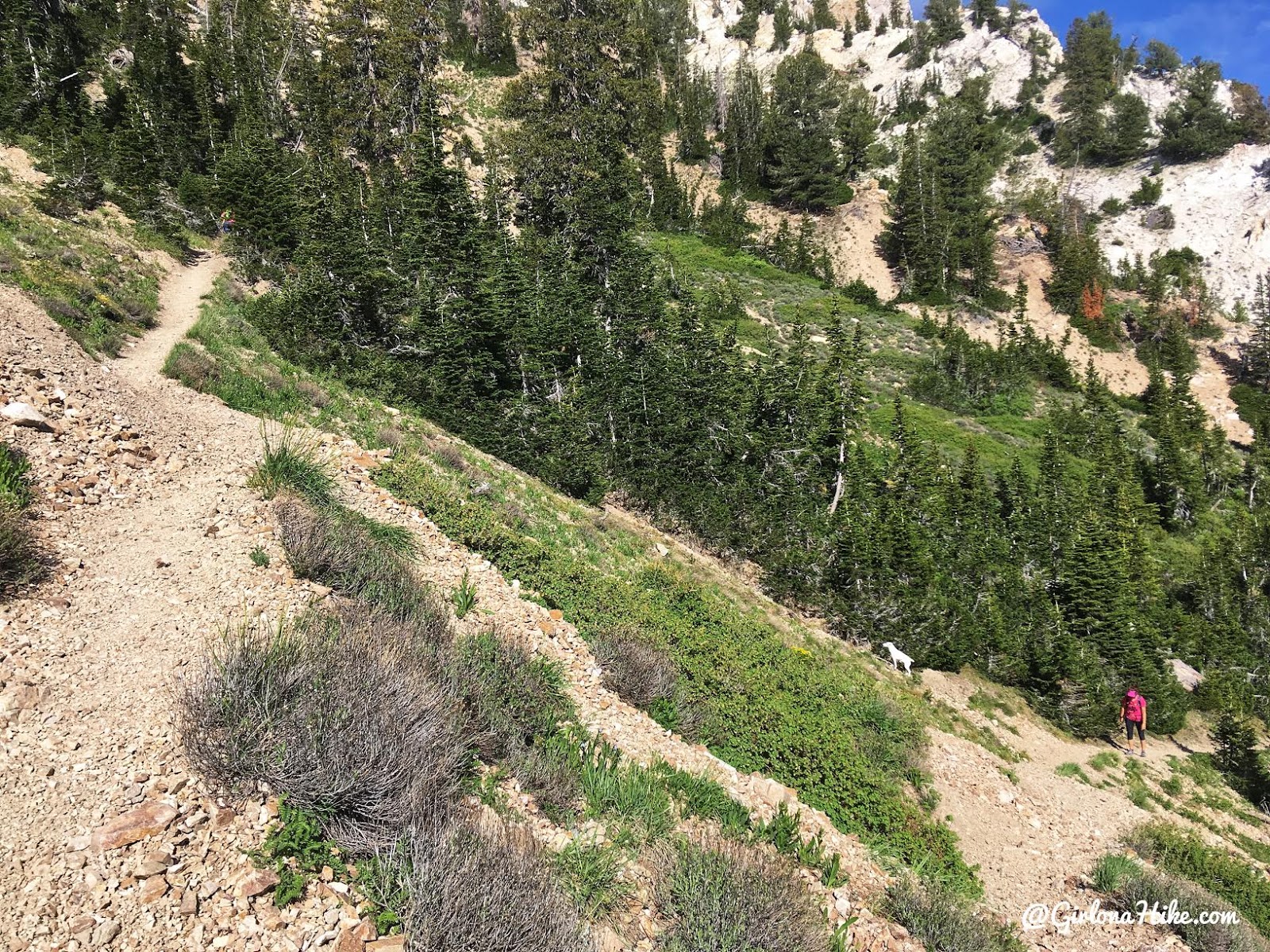
You’ll hike up several steep switchbacks.
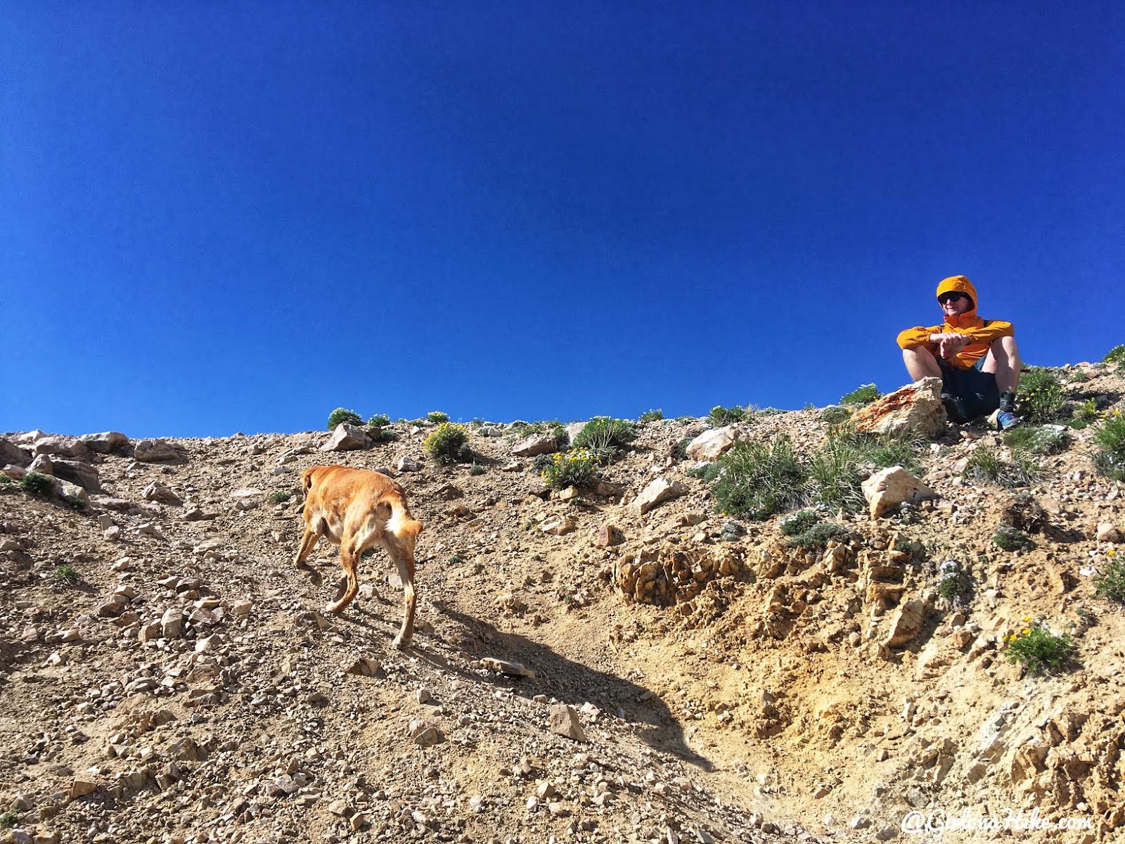
Almost to the saddle! Troy sits below the saddle because the wind was probably 50 mph! I knew there were some trees on the ridge so I quickly ran up to those instead of waiting at the saddle for everyone to catch up.
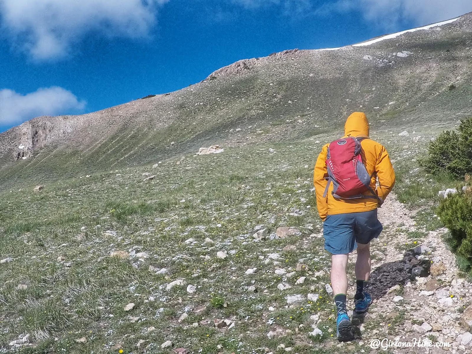
Troy leads the way. The trail will lead you up to that snow patch above his head.
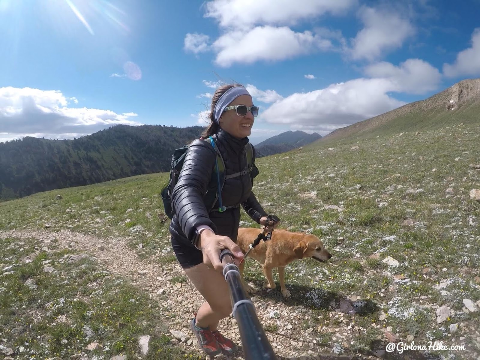
Whew – super windy! The temps weren’t really that bad but the wind made it feel much colder. Wished I had gloves and a beanie! Thankfully Christa had an extra headband I could borrow to keep my hair out of my face.
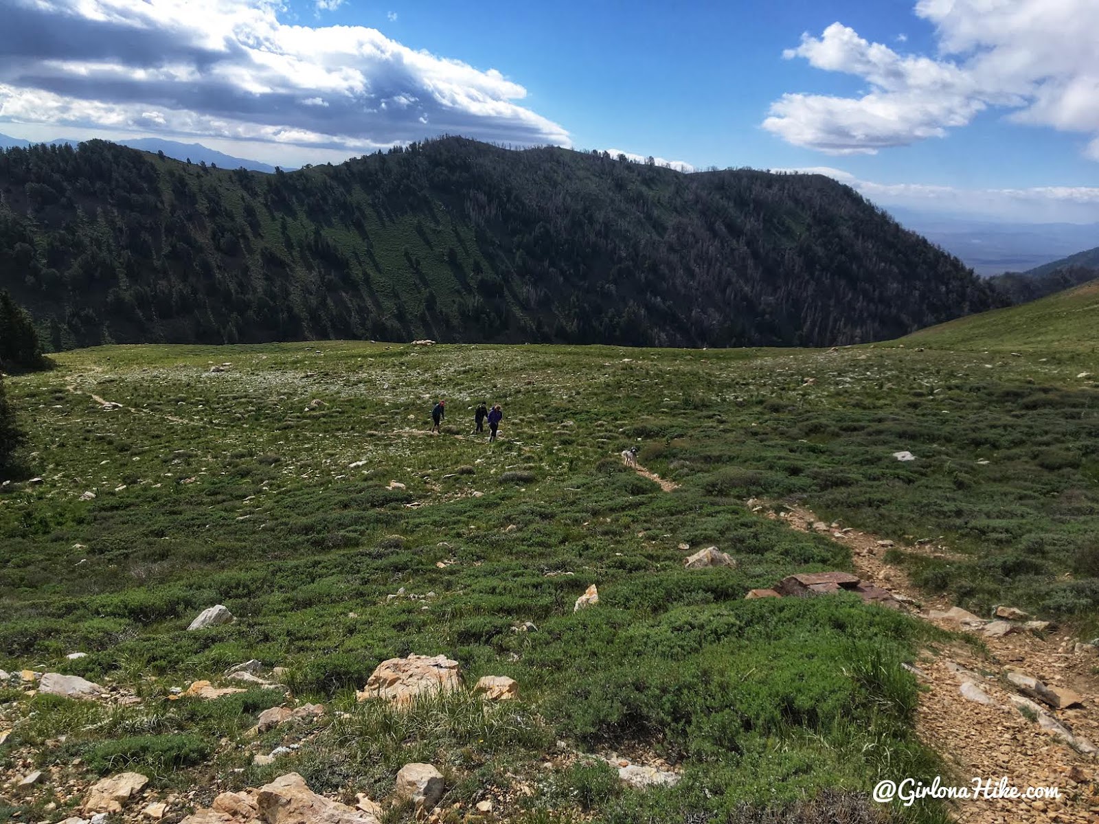
Looking back at the girls making their way up. I love this views of this saddle area.
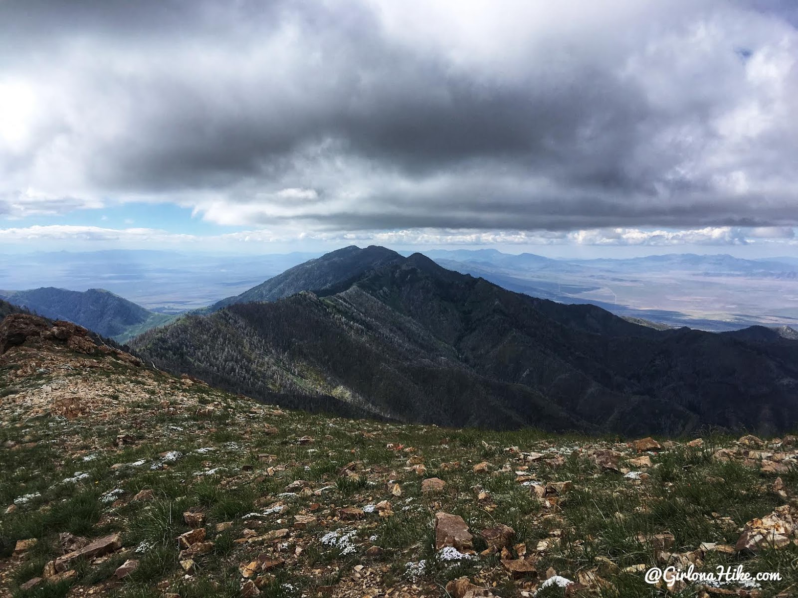
Looking South from the next ridge.
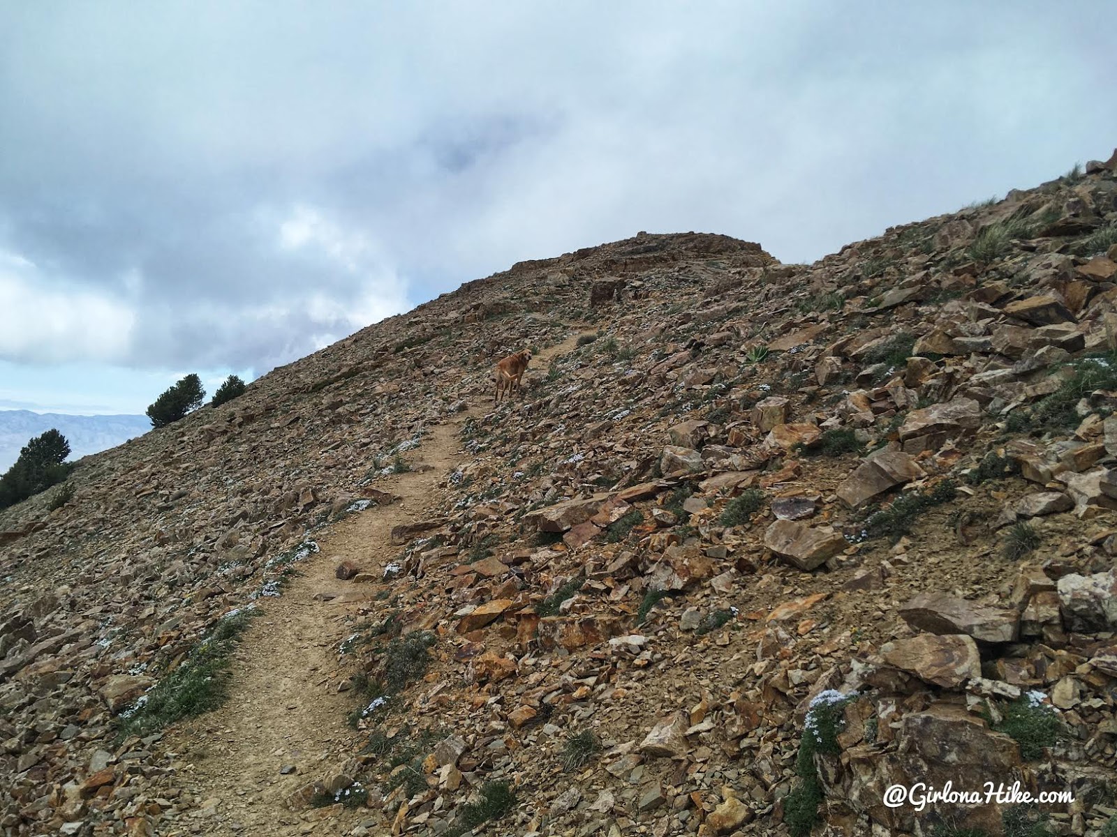
Charlie now takes the lead. Past the main saddle area the wind really wasn’t that bad anymore.
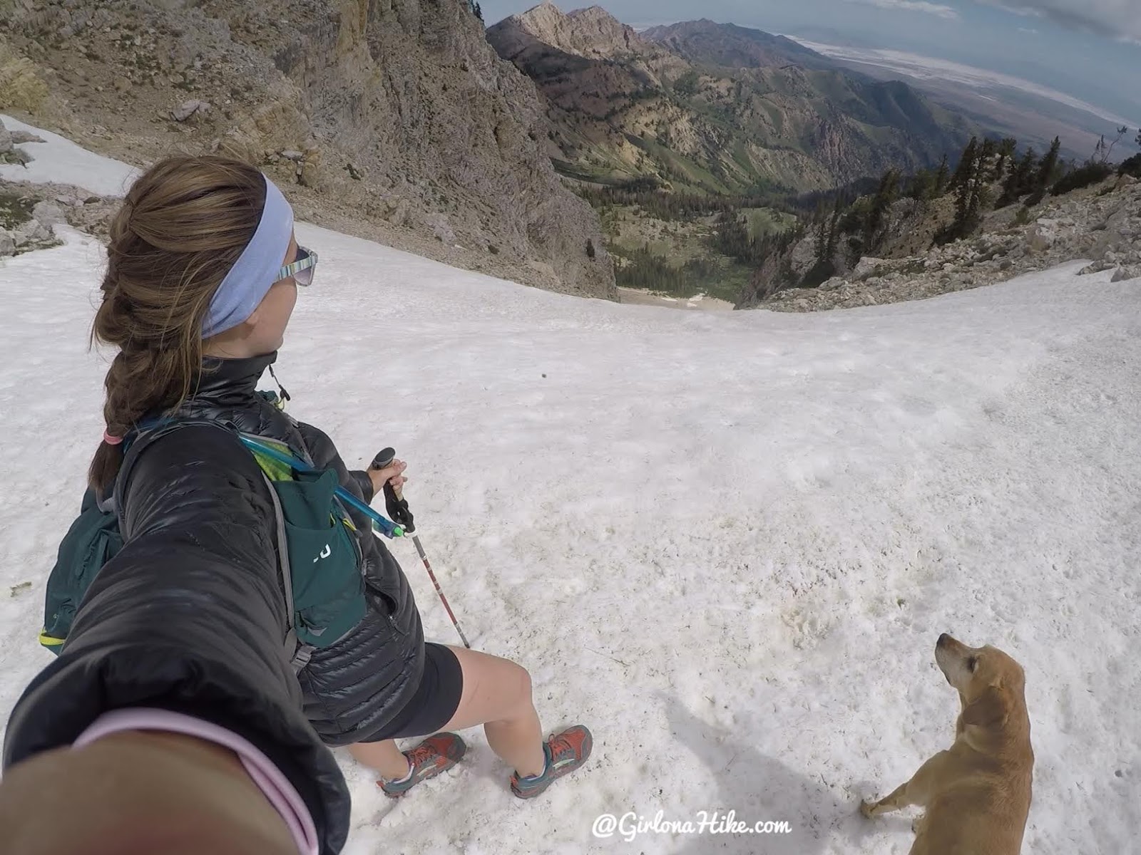
Stopping to look at the first couloir.
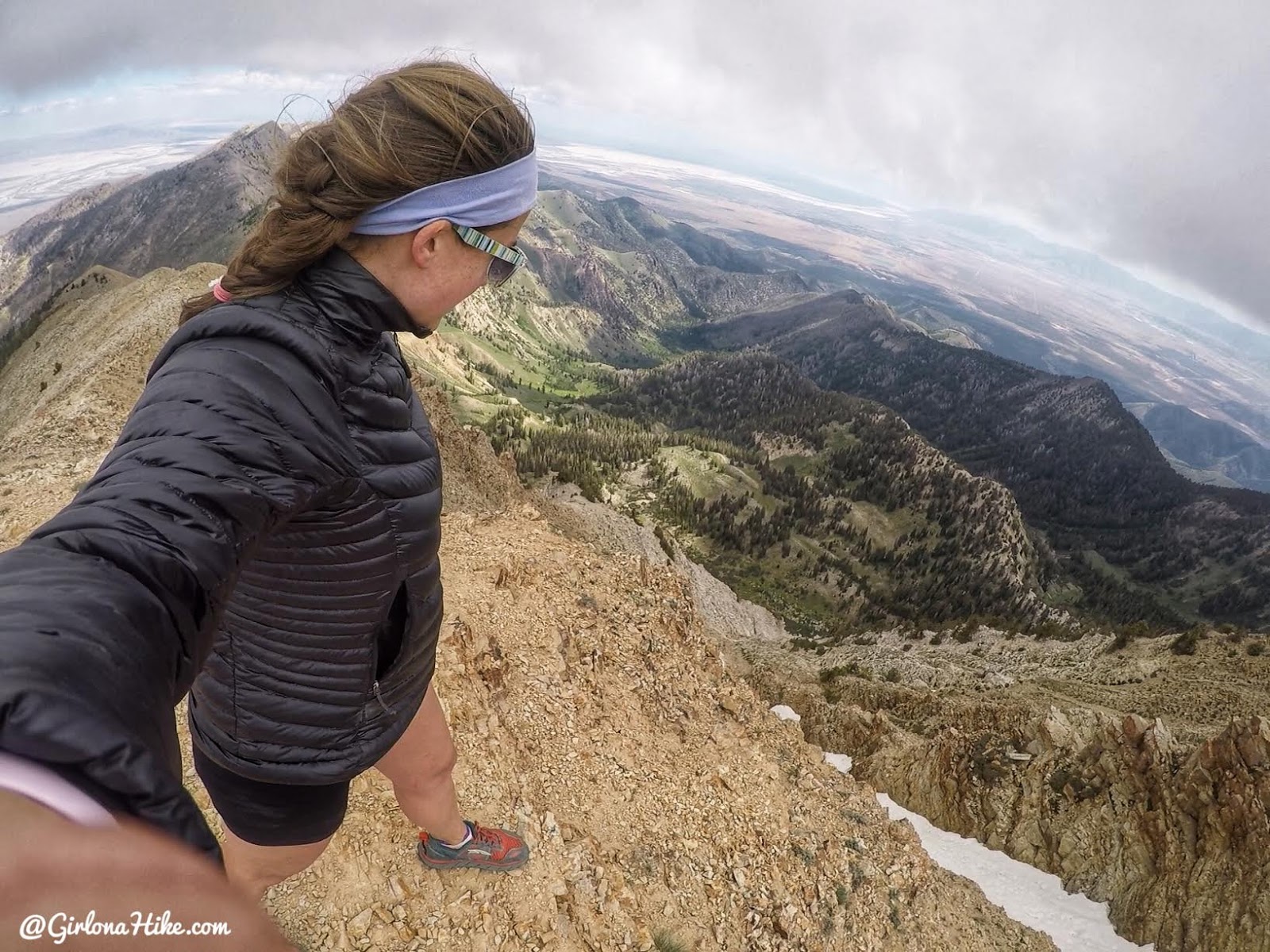
Finally, on the summit! It took us around 3 hours to summit.
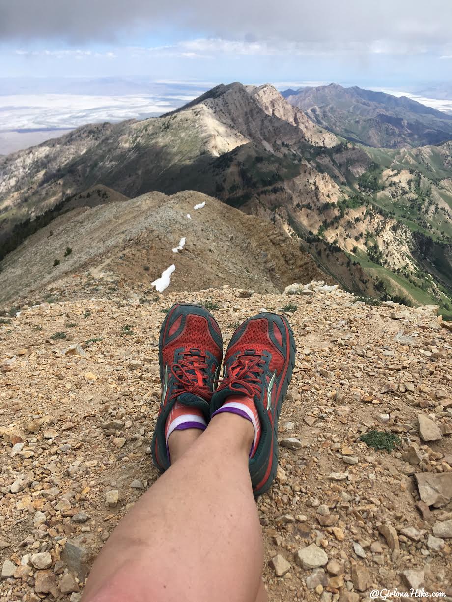
View to the North. Amazing! This is seriously one of my favorite peaks around the SLC area.
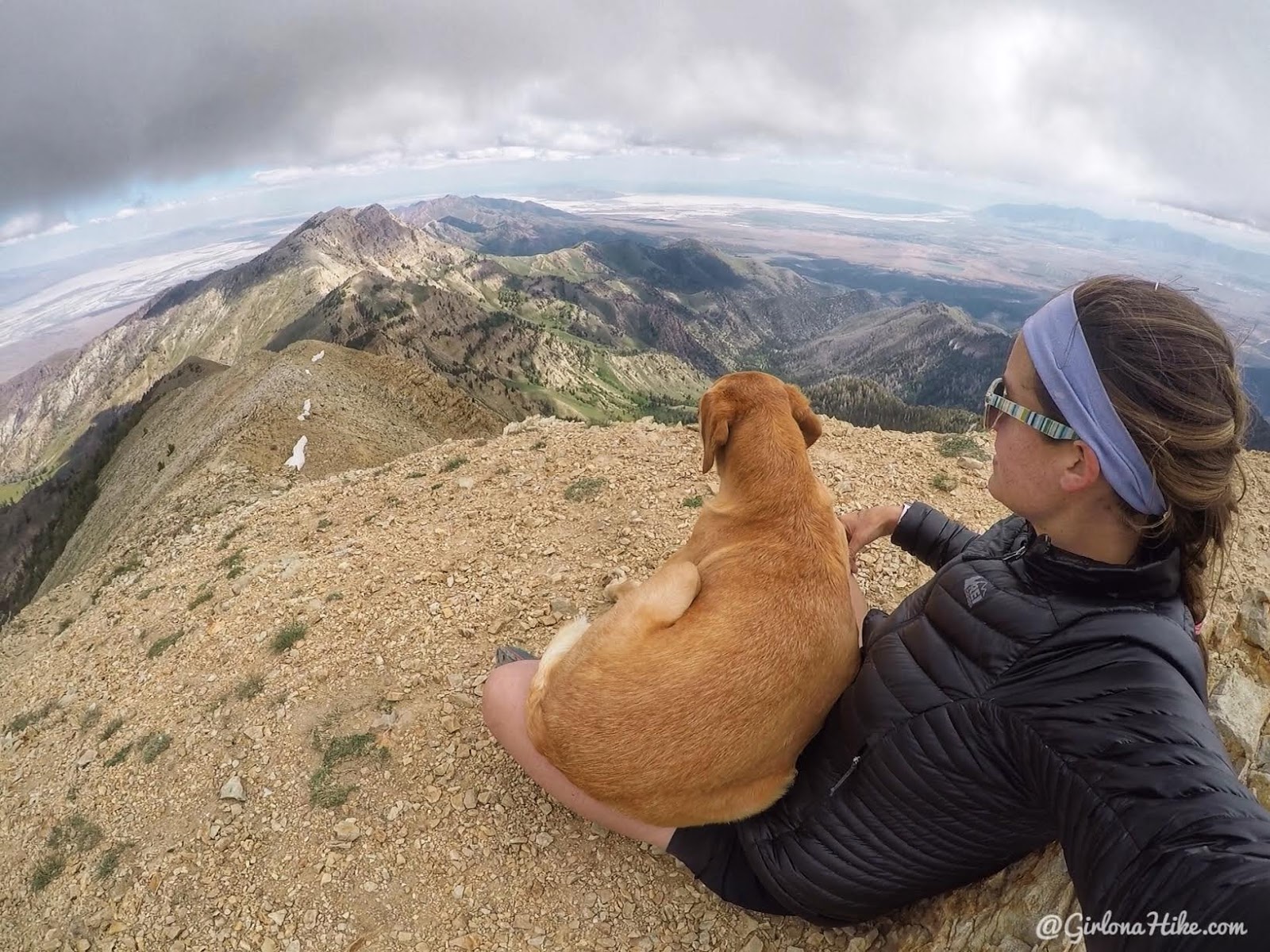
Once a lap dog, always a lap dog. Charlie keeps me warm on the summit.
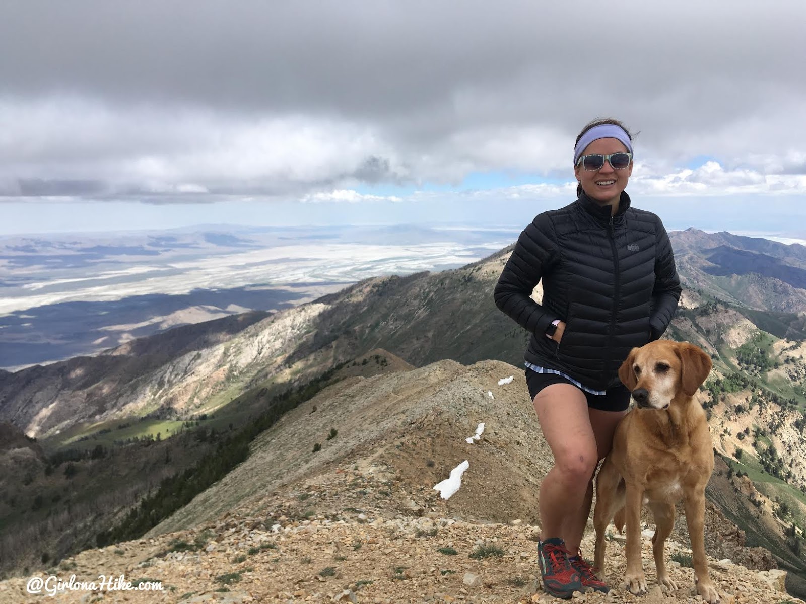
Charlie did great! He’s such a good trail dog.
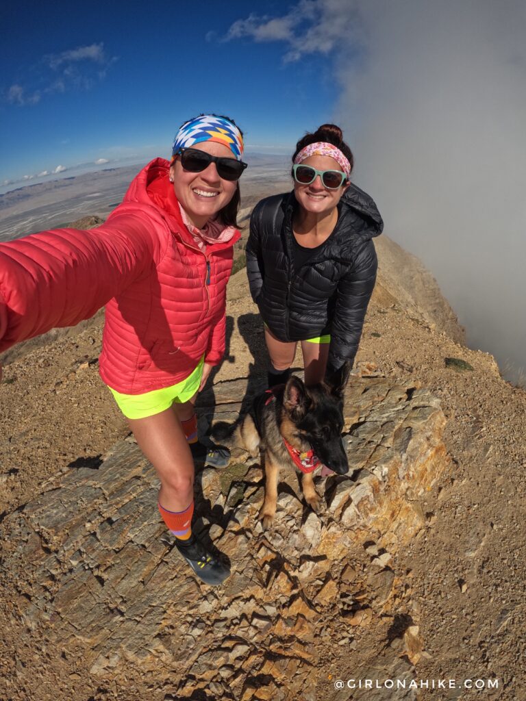
My third time on the summit, Lizzie & Leo’s first!
PS Get 15% off your FIRST order from STIO, use the code “GIRLONAHIKE15” at checkout! They have the best puffy coats!
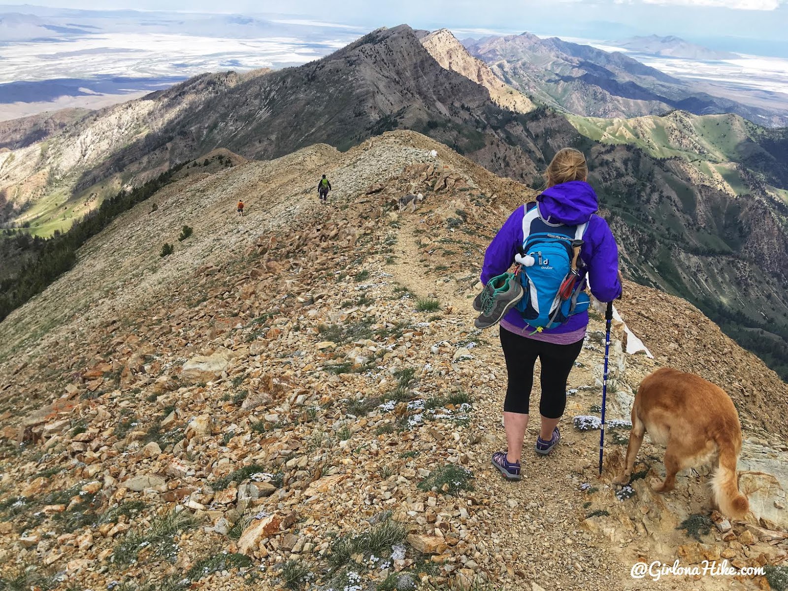
Time to work your way back down, creating a loop. Make sure you start hiking North to catch the trail down.
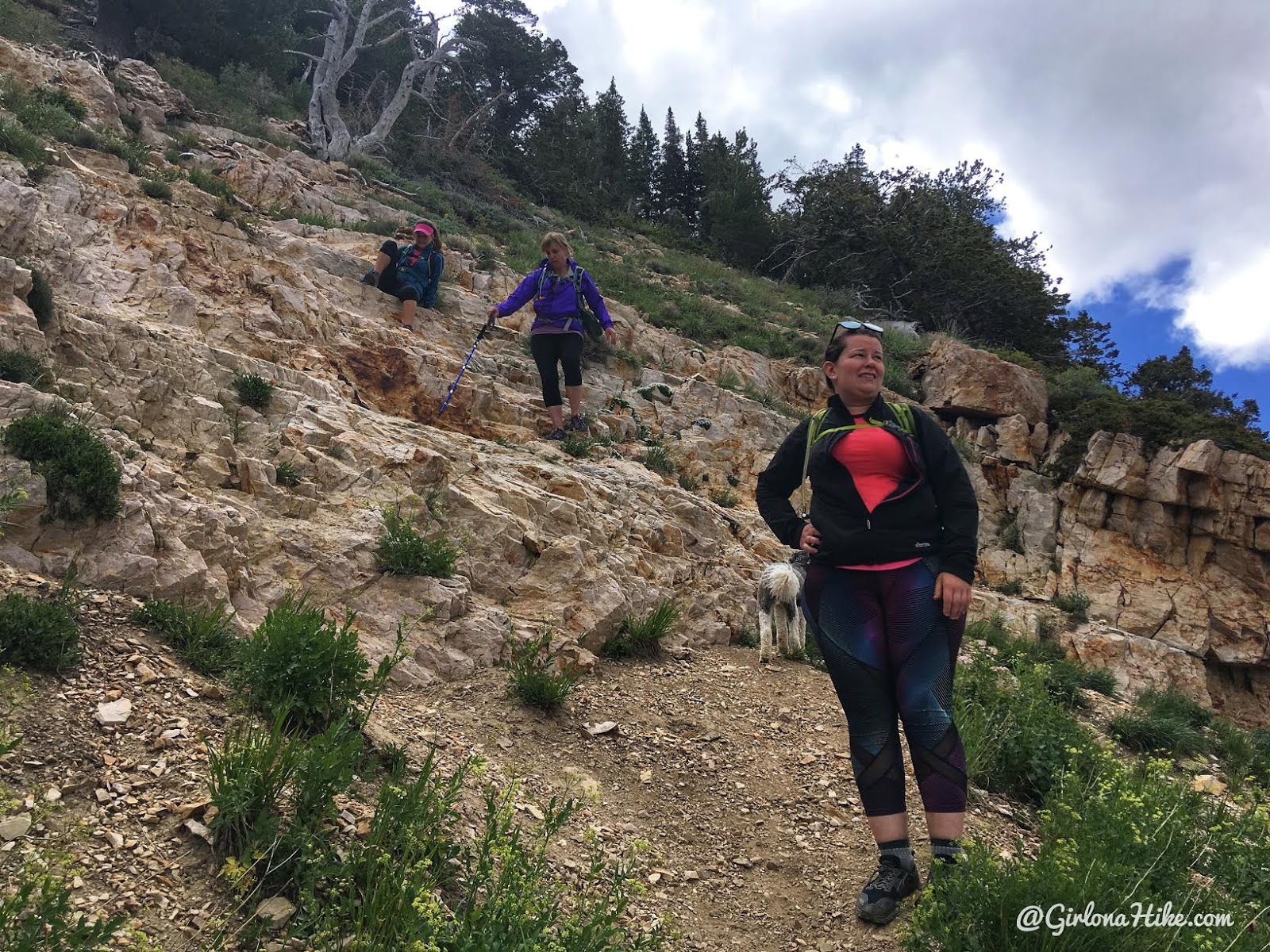
The trail is easy to follow down. There’s this one spot where you have do scramble down a little, but it’s not bad. I just scooted down on my butt.
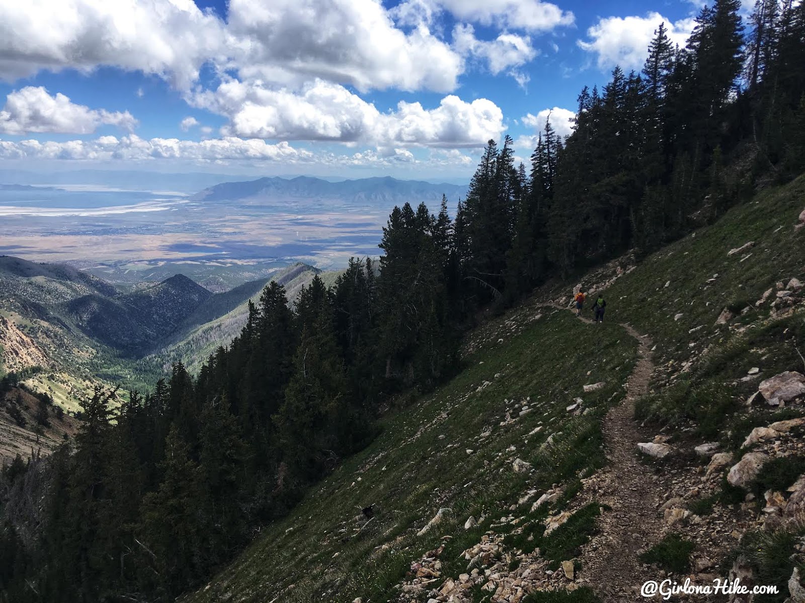
Long switchbacks on the route down. Hiking poles are super helpful here.
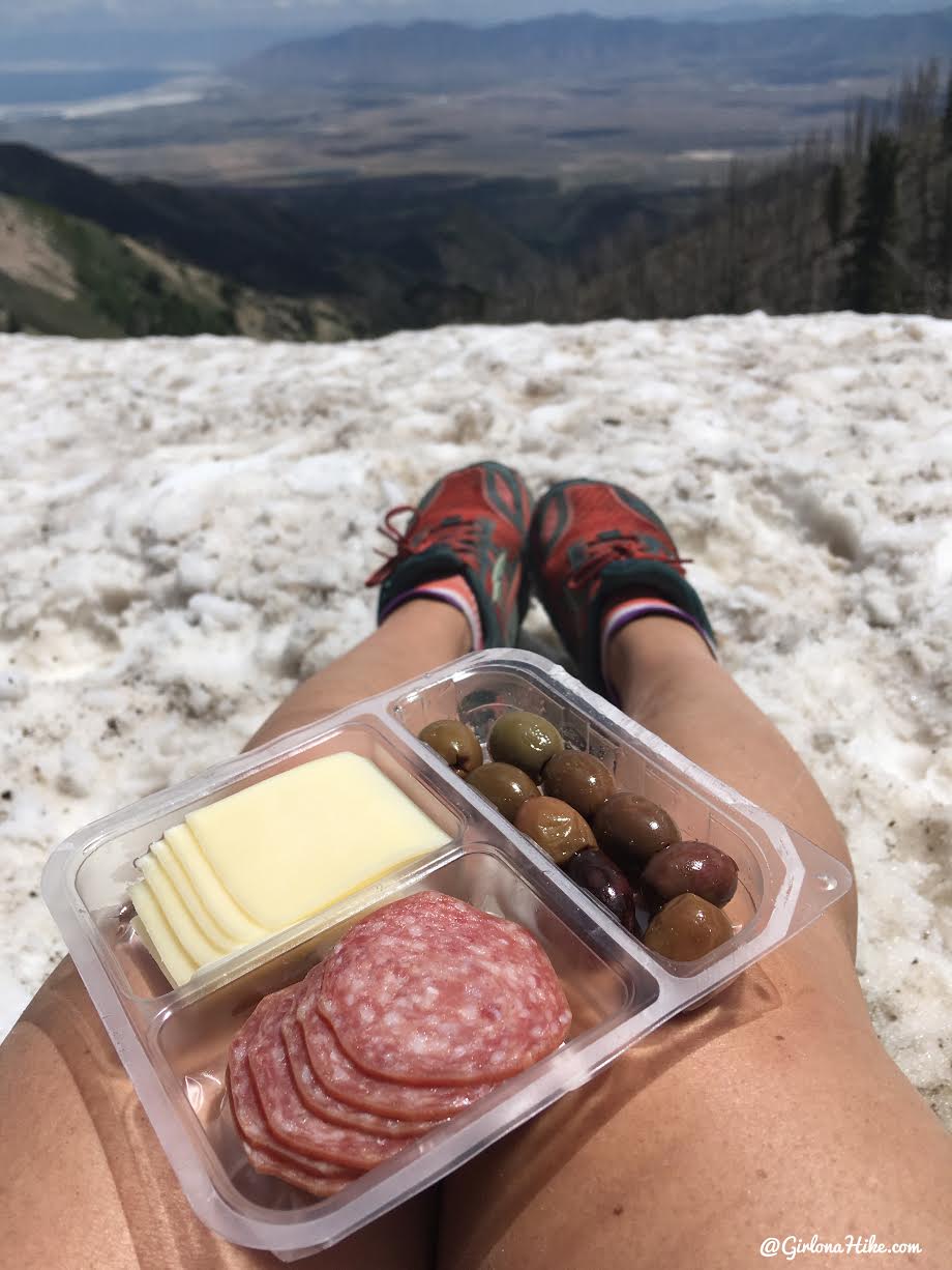
Eventually you’ll make it to the next saddle, before dropping down into the basin. I don’t usually get hungry on the summit, so I finally ate at the saddle. I love these grown up “lunchables” form Harmon’s – you can find them by the cheese and salami area for about $5. Perfect for hiking!
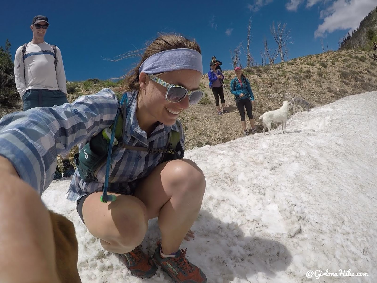
On that same snow patch, Troy and I decided to boot-ski down! Here’s the view from my angle….
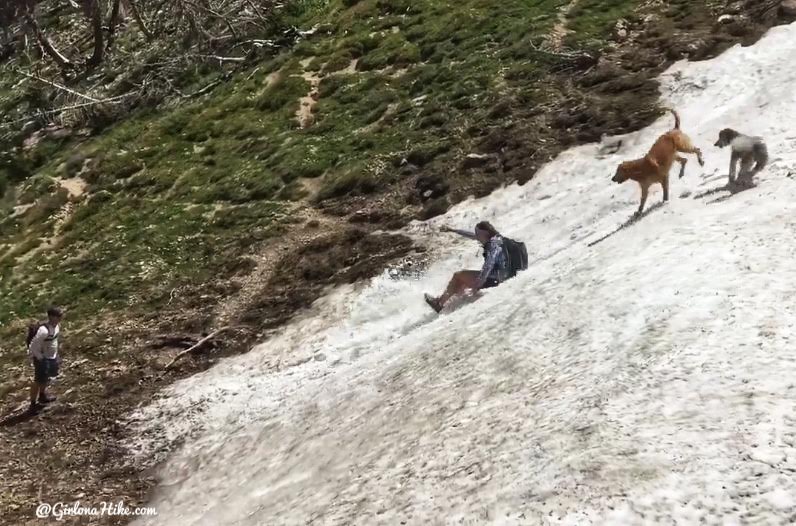
…And the view from Christa’s phone!
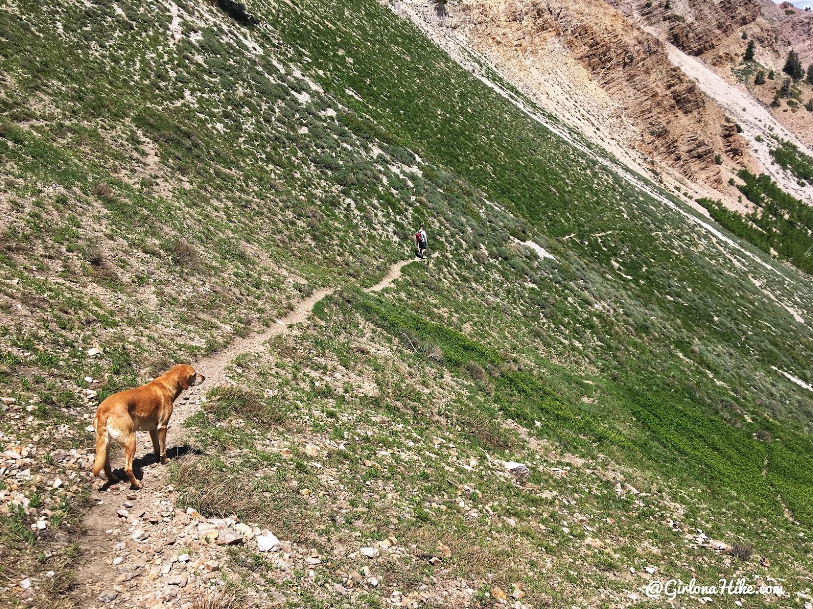
Once again, you’ll hike down long switchbacks.
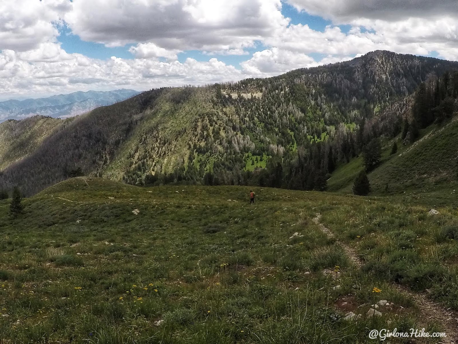
The views from this basin are so pretty! When you get to the next trail split, turn right. Going left will take you to South Willow Lake.
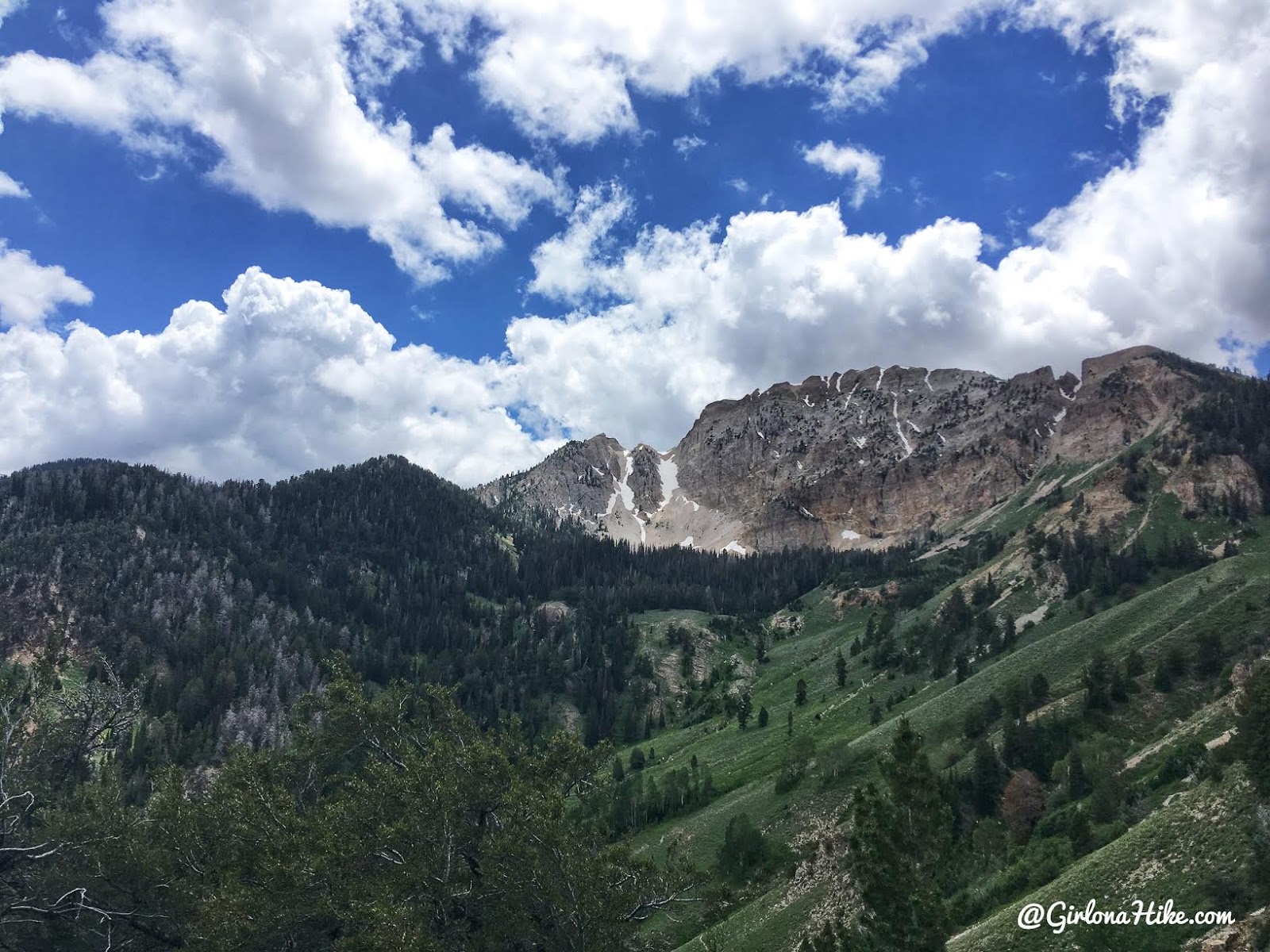
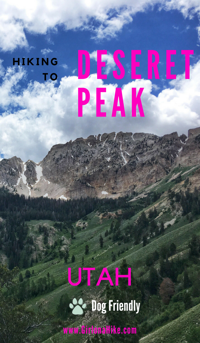
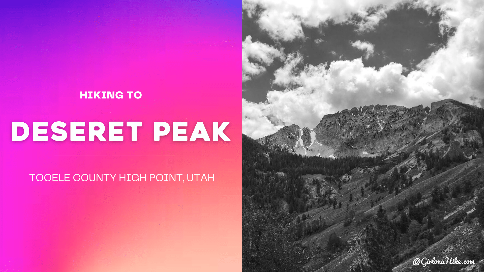
The best is saved for last! Can’t get over this view of Desert Peak from the trail, looking South.
June 2014
This first time I summited Deseret Peak was June 2014 – here’s my summit photo from then. I could definitely tell a difference in my skill/cardio level this time around. I felt way more in shape, and I didn’t have an asthma attack in 2018, yay! 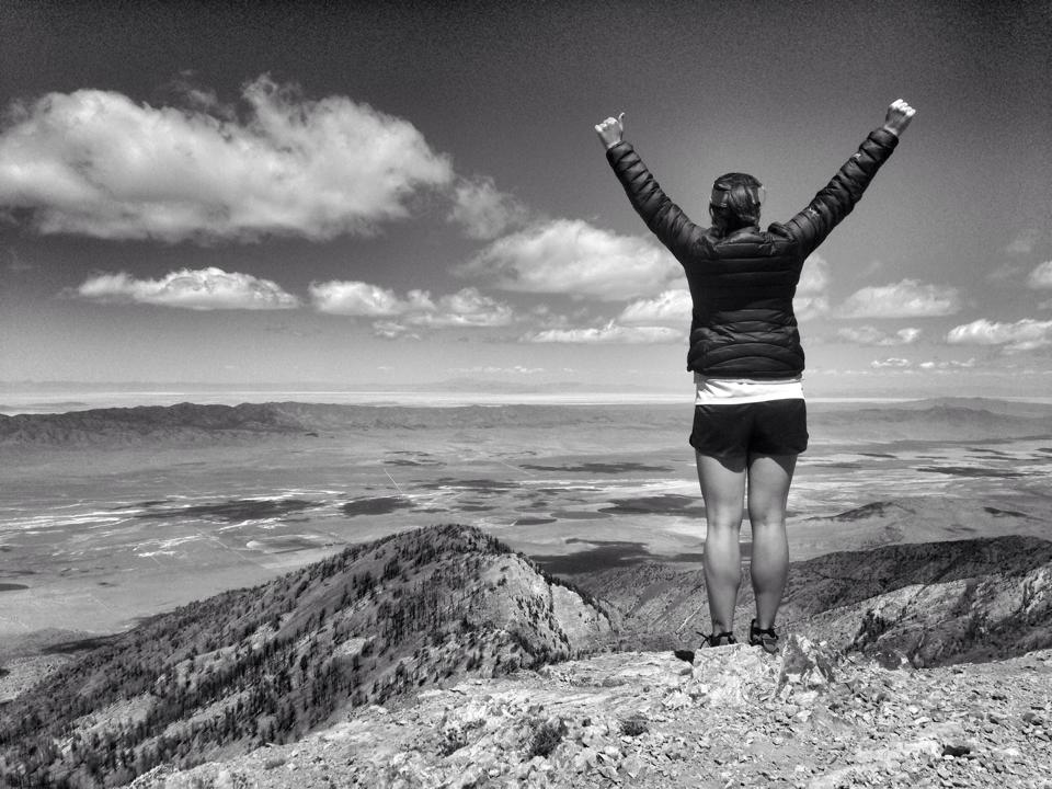
It’s crazy when I look back on this first time around, and think where my life was at that time. I was in a really tough place, mentally. Things turned around in about a year and half after that, but it was rough for awhile.
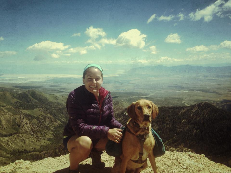
Climbing peaks and hiking has always helped me get through those times. One thing has always been constant – Charlie. I can’t tell you how much having Charlie has helped me get through things in life – whether it’s him just snuggling me, or being my trail pal, something about have a dog makes everything better. Love this little stinker!
Cheers to new adventures and getting through tough times!
Trail Map
My track via Gaia GPS – the best tracking app! Get your app here for a discount.
Nearby Hike
Backpacking to South Willow Lake

Save me on Pinterest!
