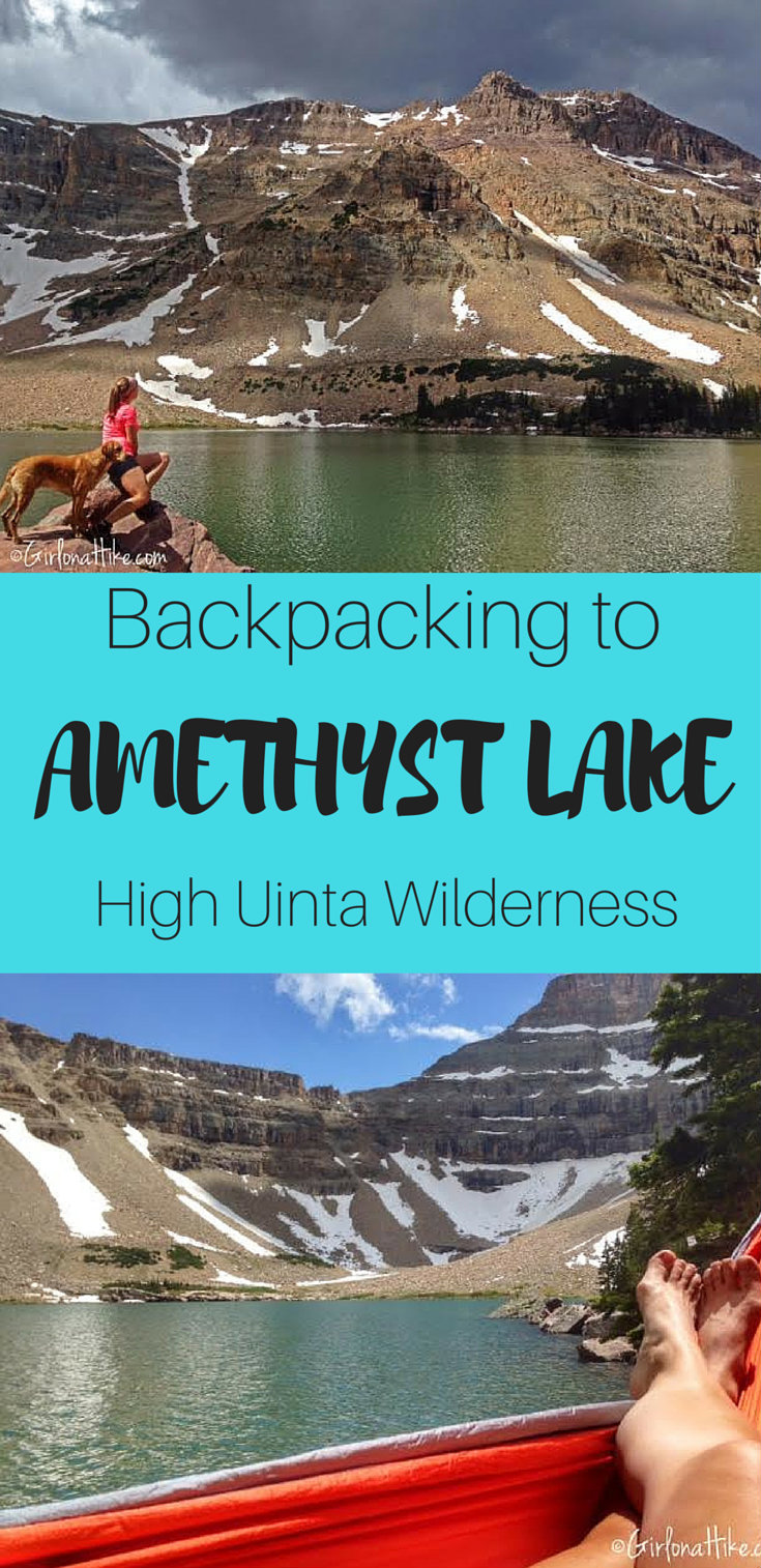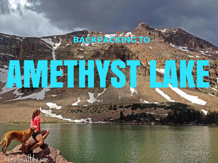

Backpacking to Amethyst Lake in the High Uinta Wilderness is a backpackers dream – a high alpine lake, lots of hiking and fishing, great campsites, not too many people, and cooler temperatures. Although the hike in is somewhat tough (especially if you are carrying a 30-40 lb pack), the reward and view is well worth the hard effort.
About
Amethyst Lake is located in the Christmas Meadows are of the Uintas, with a wide open meadow strewn with trees, resembling, well, Christmas trees. Christmas Meadows is situated perfectly to view Ostler Peak, Hayden Peak, and among the Stillwater Fork of the Bear River. Amethyst Lake is one of several lakes that is accessed via Christmas Meadows. Ryder Lake, Ostler Lake, Kermsuh Lake, and several unnamed lakes are popular lakes for hikers as well. Keep in mind that the Uintas can get cold at night, and they also get the daily afternoon thunderstorm. When backpacking to any part of the Uintas, be prepared for any kind of weather, and especially, mosquitoes.
Amethyst Lake can be hiked to and from in a day, but to really relax and explore the area, plan on spending at least one night at the lake. Since I backpacked to Amethyst Lake over the July 4th holiday weekend, I spend two nights at the lake. This solo trip was a way for me to relax, read, hang out in my new hammock, let Charlie roam the hills, and just rest. I’ve been needing some down time, and this was the place to let that happen.
Directions
From SLC, head East on I-80 through Parley’s Canyon. Once past Kimball Junction, UT take exit 146 for HWY 40. Drive another 3-4 miles and take exit 4 towards Kamas, UT. At the first light in Kamas, turn left. At the night light (at the Chevron), turn right. You will now be on the Mirror Lake Highway. Drive 46 miles across the Mirror Lake Hwy, until you see the sign for Stillwater Campground. The turnoff for Christmas Meadows is not signed, but it’s 0.2 miles past the Stillwater Campground sign, to the right. You’ll immediately be on a dirt road signed UT 150 – drive another 4 miles to the very end of the road. This is where the parking lot and TH is. There is one vault restroom.
Trail Info
Distance: 6.5 miles one way
Elevation gain: 1,950 ft
Time: 3-4 hours one way, or 1-2 nights
Dog friendly? Yes, off leash
Kid friendly? Yes, older kids
Fees/Permits? The Mirror Lake Highway charges a $6 fee for a 3 day pass. It’s free if you have an annual Mirror Lake Hwy or American Fork Canyon pass, or free if you have an annual National Park Pass. No permit is required.
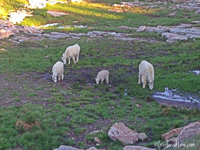
Driving up and over Mirror Lake Highway, I usually see Mountain goats. They are typically out feeding in the early morning or evening. I was happy to see a baby goat in the bunch!
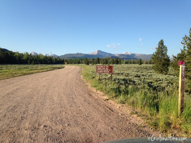
0.2 miles past the Stillwater Campground, there’s a dirt road off to the right. You’ll turn here, and see the sign for Christmas Meadows which is 4 miles at the end of this road. The road is in decent shape – even a small car can make it (slowly).

Stay straight for the TH parking.
When I arrived on Saturday at 8am, the parking lot was full and I had to park in the overflow area. Make sure you hang your pass in your windshield – rangers will ticket you if you don’t have one visible.
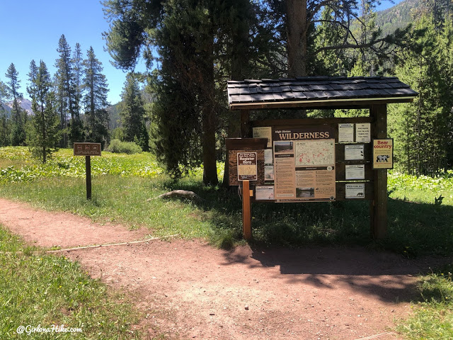
Hittin’ the trail!
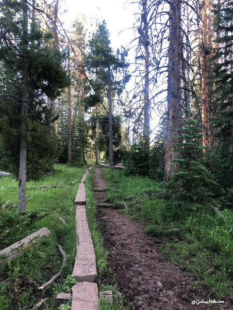
The trail is very well shaded with tall pine tress for beginning portion of the hike.
The Christmas Meadows trail has a lot of water. What I mean by that is not only is there plenty of water to drink from (after filtering), but the trails are also water logged, can be mud pits, or very soggy soil. Most of these “bridges” were constructed by the Forest Service 20+ years ago. They definitely need to be updated, but my guess is that won’t happen for awhile (if ever).
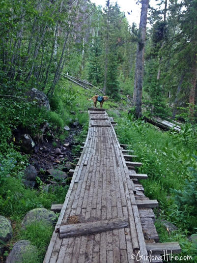
Crossing more bridges. Some of them are not balanced, so watch your footing.
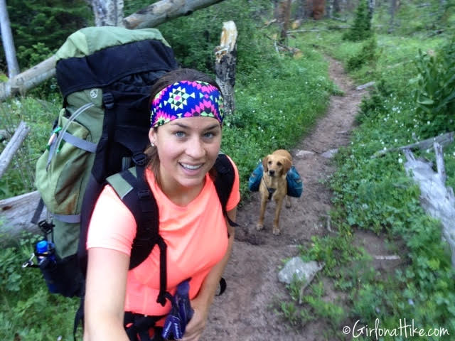
#Selfie!
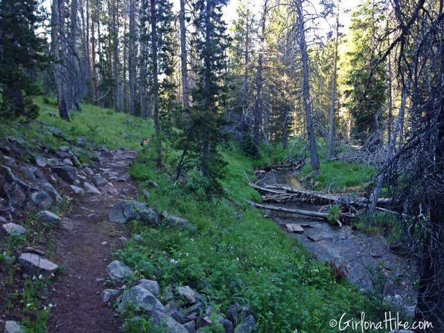
The trail takes you over rocky, rolling hills for the first 2 miles.
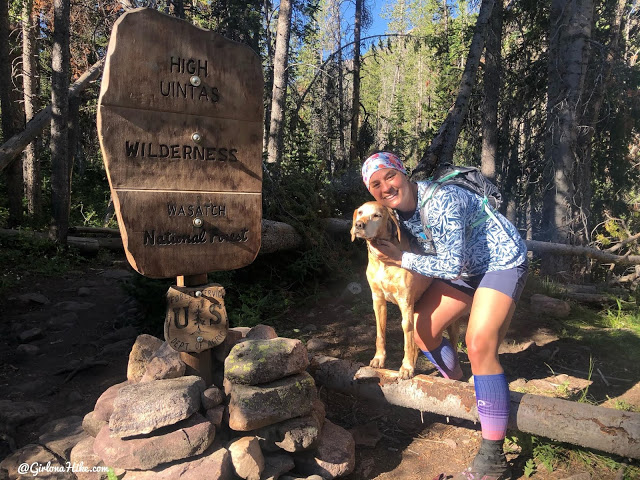
Official High Uintas Wilderness sign! The trail split for Amethyst Lake is about 100 yards beyond this sign, to the left.
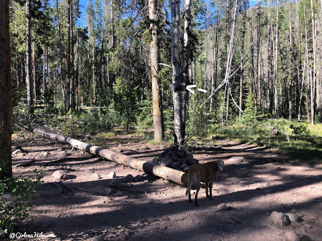
At the trail junction. It’s hard to see the sign, because it is about 10 ft up the tree, in the shade. My white arrow on the left points it out. Keep an eye out for this large rock pile, so you know where to turn. There is also a campsite off to the right of the trail.
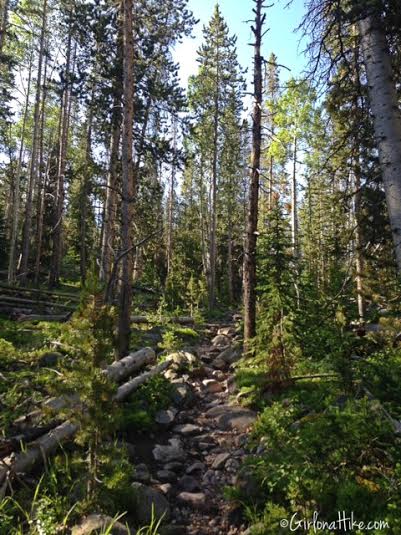
Once you turn off for Amethyst Lake, the trail becomes very steep and rocky.
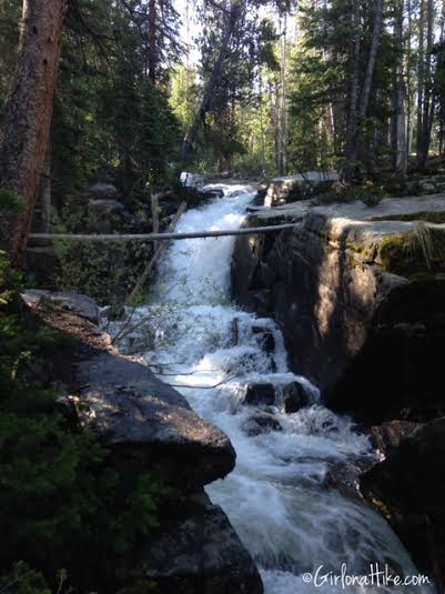
You’ll hear the rushing of the creek nearby, and come upon what I am calling Amethyst Falls. Near the end of summer, this may be a very small stream compared to now.
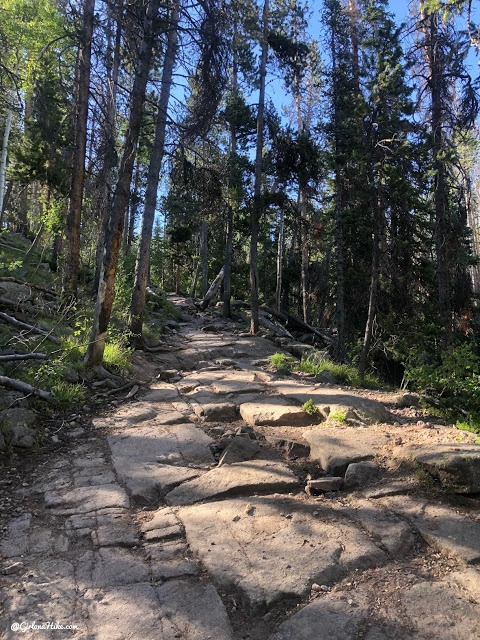
The trail doesn’t show how steep the trail is here – take your time working your way up all the rocks. The steepest section lasts for 1/2 mile.
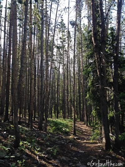
Finally the trail evens out – but only for 1/4 mile.
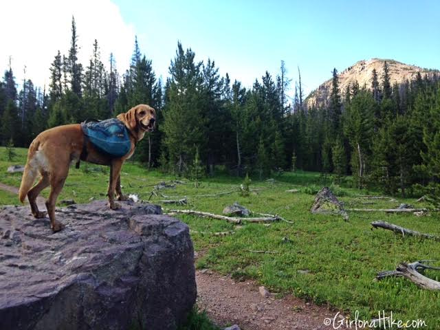
You’ll come to this first small meadow. Up until now, you won’t get a very good view of where you are headed. Hike through more trees – it seems like this trail just keeps going up and up. I had to take several breather breaks.
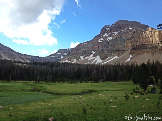
The 2nd meadow you come to is the big meadow, where you’ll see a lot of campers. At this point, you’ll finally have a view of Ostler Peak. At the back of that basin, is where Amethyst Lake sits. Only another mile!
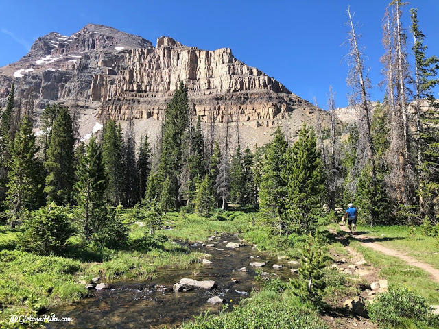
Hiking along the stream below Ostler Peak.
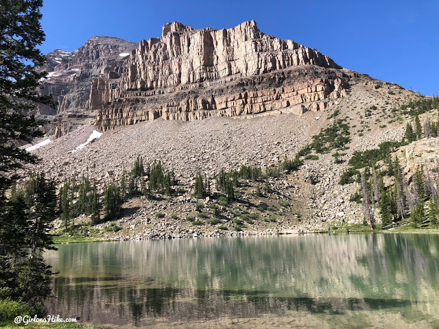
Passing by an unnamed pond, that also happened to be a very turquoise colored lake, with several campsites around it.
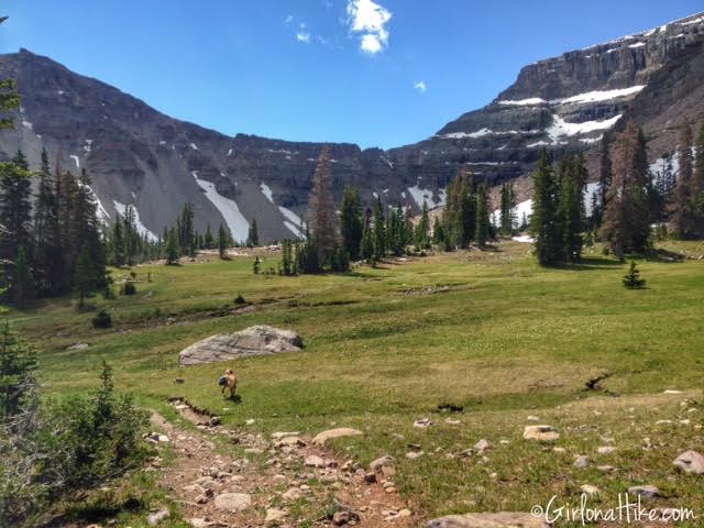
Passing by the 3rd open meadow. We’re getting so close to the lake!
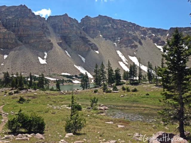
I could finally see the green lake ahead. It took me 3:15 to arrive to Amethyst Lake.
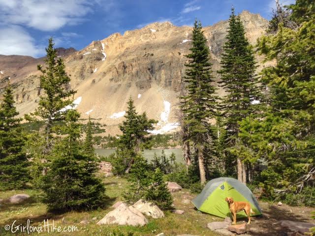
I quickly set up camp, because I knew the afternoon thunderstorms would be rolling in soon.
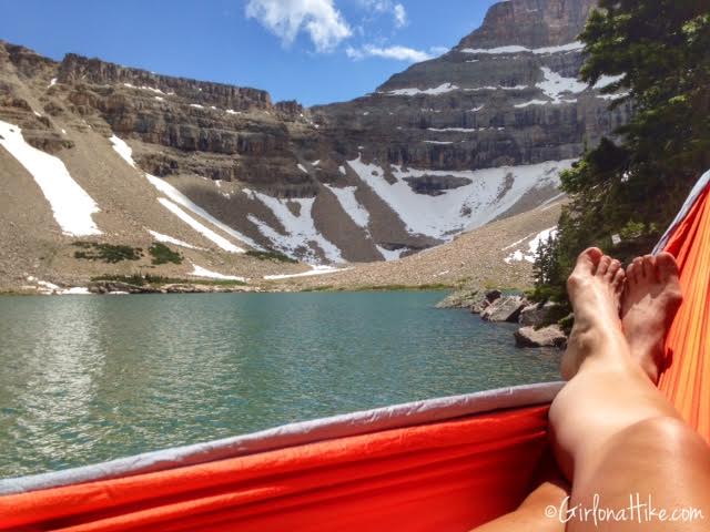
Setting up my new Kroex Sports Hammock! I can’t get over this view!
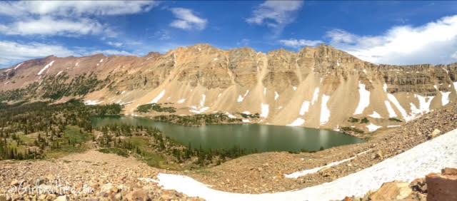
After taking a nap, I walked up to the Western side of the lake to get a good overview of the area. The ridgeline across the way was so awesome looking! It also showed me just how big Amethyst Lake it.
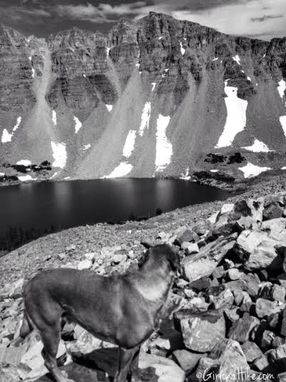
Charlie takes in his view – black & white style!
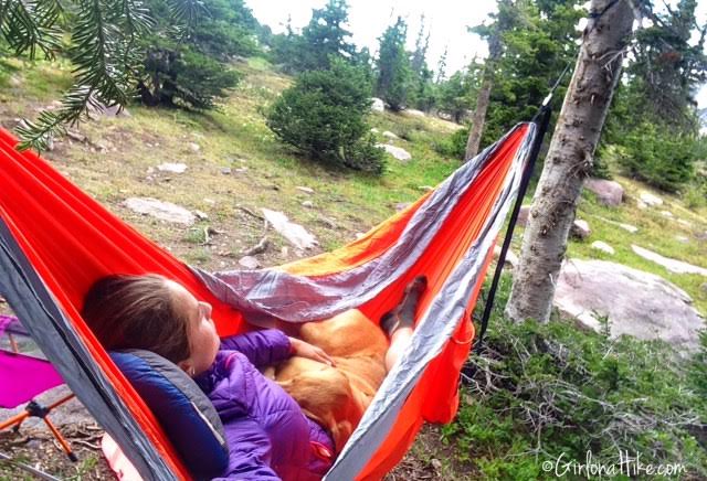
Setting up my hammock to snuggle with Charlie and read.
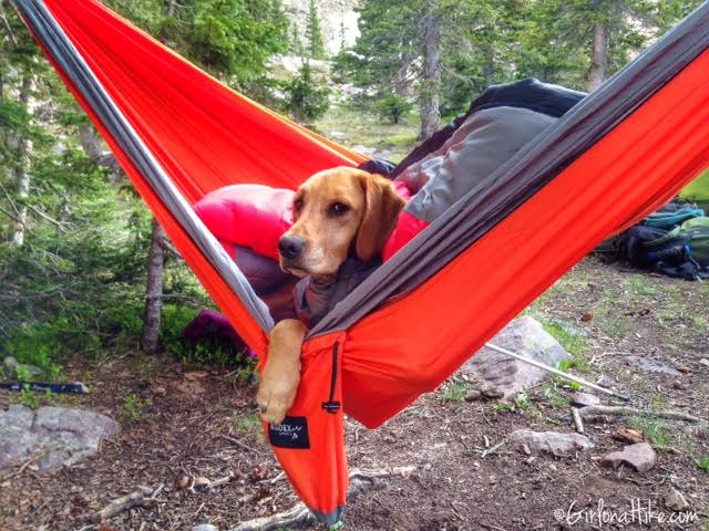
Charlie doesn’t look too thrilled here….
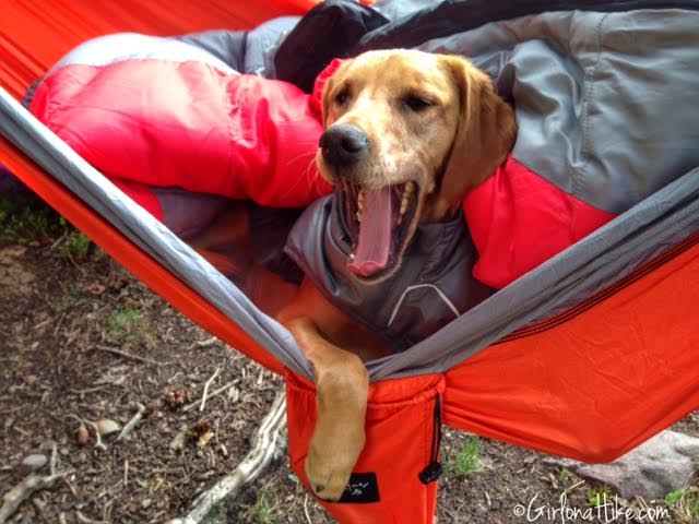
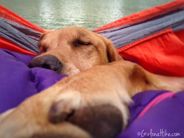
Yet 1 minute later he is yawning from the comforts of his spot in the hammock.
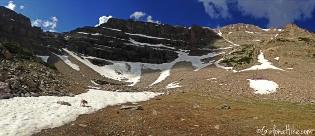
On day 2 we decided to hike around the whole lake, and climbed up to some of those snow fields. I found a nice waterfall from snow to filter more water in. Nothing better than ice cold snow water!
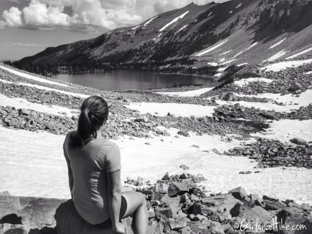
Taking in my view from where I was able to filter water. This was taken on the south end of the lake.
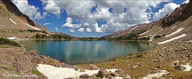
Beginning to hike around the lake. If you are brave enough, there are some cliffs to the left that would make for awesome cliff jumping into the lake. I couldn’t do it – the water was icy cold.
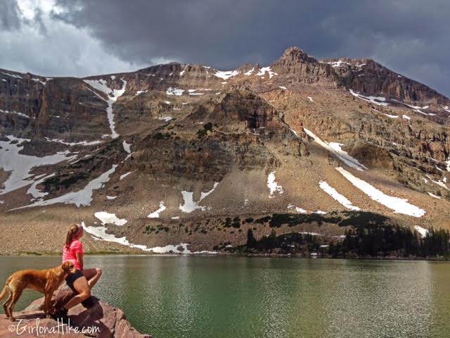
On the East side of the lake, looking up to Ostler Peak. Climbing to that summit was one of my goals, but realized that since I was alone, it would be too tough of a climb by myself. I scratched that idea, and decided to just relax and hang out.
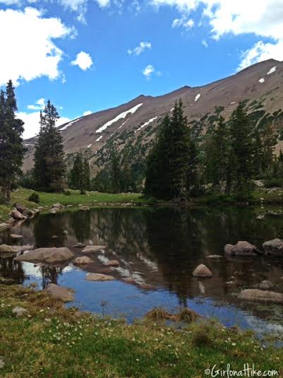
On the northern end of Amethyst Lake, I found this small pond, with a great view of LaMotte Peak.
July 2020
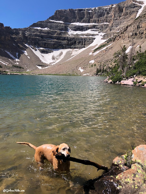
This time we went to Amethyst Lake as a day hike/run!
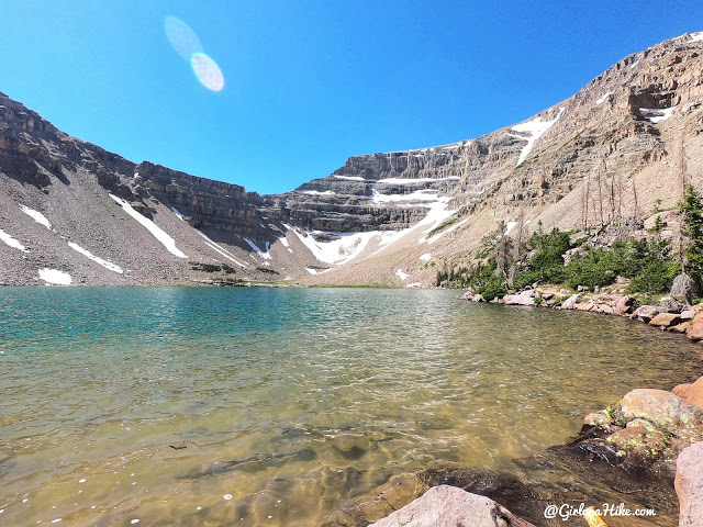
That blue water though!
Trail Map
My track via Gaia GPS – the best tracking app! Get your app here for a discount.
Also Check Out
Check out these 8 Skills Every Backpacker Needs!
Nearby Hike
Backpacking to Kermsuh Lake, Uintas

Save me on Pinterest!
