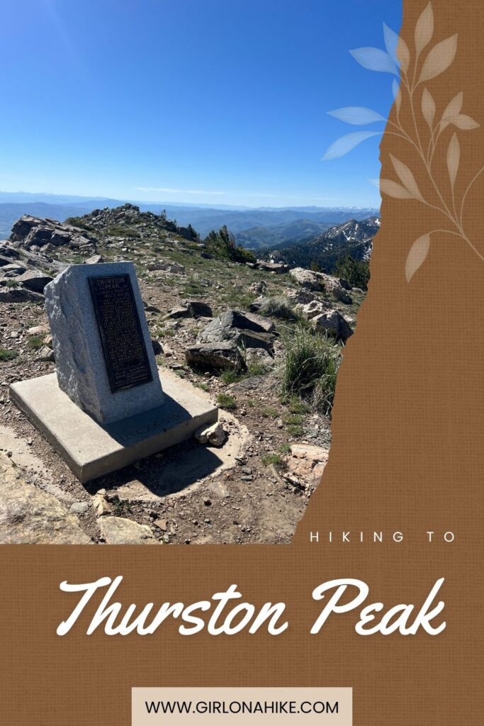

Thurston Peak (9,706 ft) is the highest point in both Davis County and Morgan County, Utah. Located along the Wasatch Mountains, this scenic summit is often overlooked because nearby Francis Peak is topped with the large white radar domes that dominate the ridgeline. However, it is Thurston Peak that claims the true high point.
About
For peak baggers, Thurston Peak is one of the easier county high points to summit in Utah. The hike gains approximately 1,700 feet of elevation over 4.2 miles, making it a relatively moderate adventure with a big reward. Along the way, hikers are treated to expansive alpine views of Antelope Island, the Great Salt Lake, Mount Ogden, and the Morgan Valley.
Part of the route follows the historic Great Western Trail, a long-distance trail system stretching from Canada to Mexico through some of the most scenic landscapes in the American West. The first portion of the hike follows an old jeep road before transitioning to a single-track trail near the summit.
Because Farmington Canyon Road is gated during the winter months, the standard route to Thurston Peak is typically only accessible from July 1 through October 31. Outside of this season, reaching the summit often requires a much longer backcountry hike or snowshoe trip.
Historically, Thurston Peak was known as North Francis Peak on maps and guidebooks published before 1993. The mountain was later renamed in honor of Thomas Jefferson Thurston, a Mormon pioneer who settled in Morgan County in 1852 and helped establish transportation routes through Weber County. Francis Peak itself was named after a pioneer woman who assisted early surveyors in the Layton and Farmington area.
For more info on all the high points, check out my book, “Hiking Utah’s County High Points“.
Directions
From Salt Lake City, take I-15 north to Exit 395 in Farmington. Turn right onto Park Lane, then right onto Main Street. Turn left onto 600 North and continue to 100 North, which becomes Farmington Canyon Road.
Drive approximately 8 miles up Farmington Canyon. The paved road eventually transitions to a narrow dirt road, and a high-clearance vehicle is strongly recommended. Conditions can vary significantly depending on recent storms and ATV traffic.
When you reach two gates, turn left and continue another 4.5 miles toward Francis Peak. Park near the large white radar domes at the summit of Francis Peak, where the hike begins.
There are no restroom facilities at the trailhead. Be sure to bring plenty of water and check current road conditions before your trip.
Here is a driving map to where we started hiking and parked.
Trail Info
Distance: 8.4 miles RT
Elevation gain: 1,775 ft
Time: 4-6 hours
Dog friendly? Yes, off leash
Kid friendly? Yes, ages 12+
Fees/Permits? None
Hiking to Thurston Peak: What to Expect
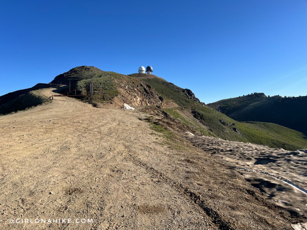
Begin hiking along the old jeep road for approximately 1.75 miles. This easy section provides expansive views of the Wasatch Mountains and offers a gradual warm-up before reaching Francis Peak.
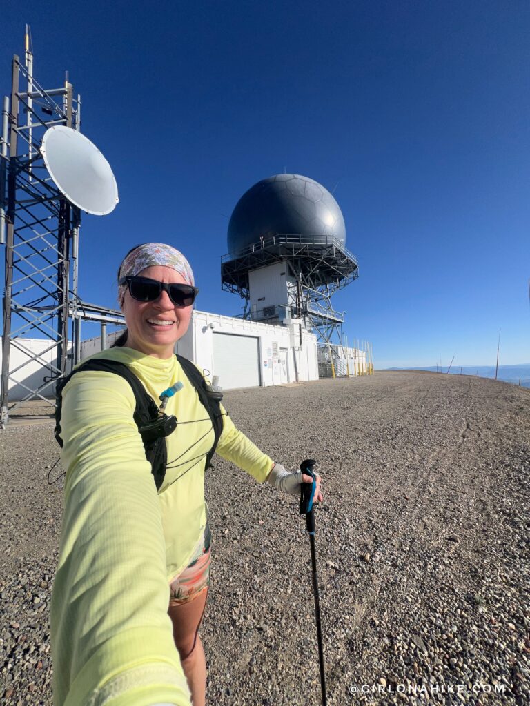
I recommend hiking over Francis Peak first while your legs are still fresh. From the summit, you’ll enjoy panoramic views of the Great Salt Lake, Antelope Island, and the surrounding Wasatch Range.
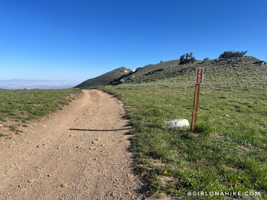
Descend from Francis Peak and stay left at the signed FR206 junction. The trail to the right leads toward Smith Creek Lakes. while the left fork continues toward Thurston Peak.
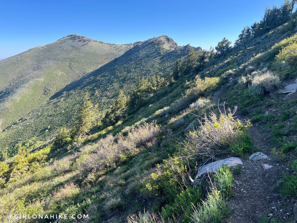
Once the road ends, the route transitions to a scenic single-track trail along Snow Horse Ridge. Rather than climbing over every unnamed summit, the trail contours around the ridgeline and drops to roughly 9,000 feet before climbing again toward Thurston Peak. Most of the trail stays on the Davis County side of the ridge, though it occasionally crosses into Morgan County.
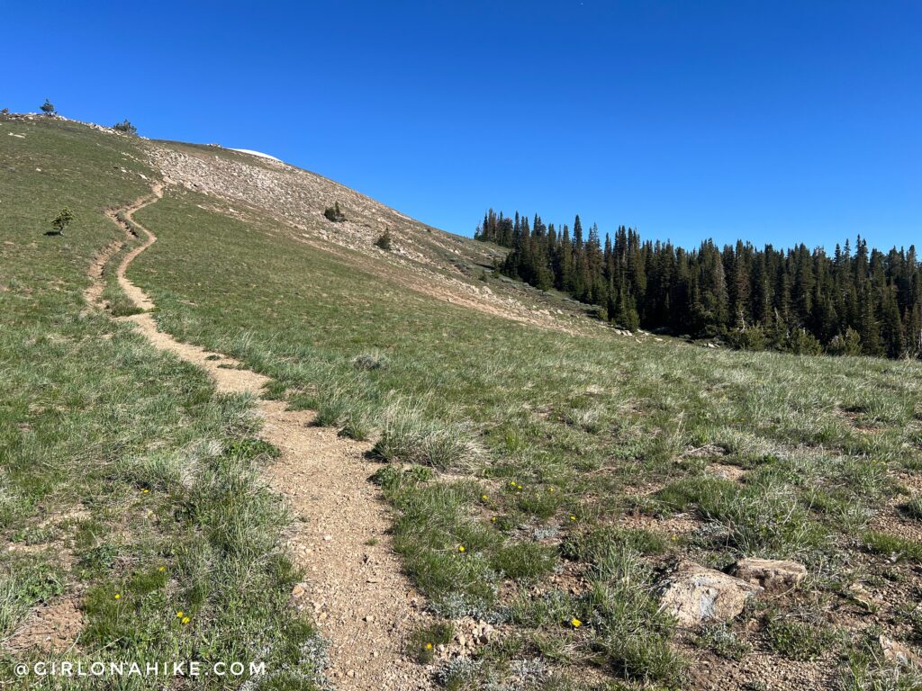
One of the most interesting features of Snow Horse Ridge is the contrast between ecosystems. The west-facing slopes are covered in sagebrush and open grasslands, while the east-facing slopes support dense pine forests.
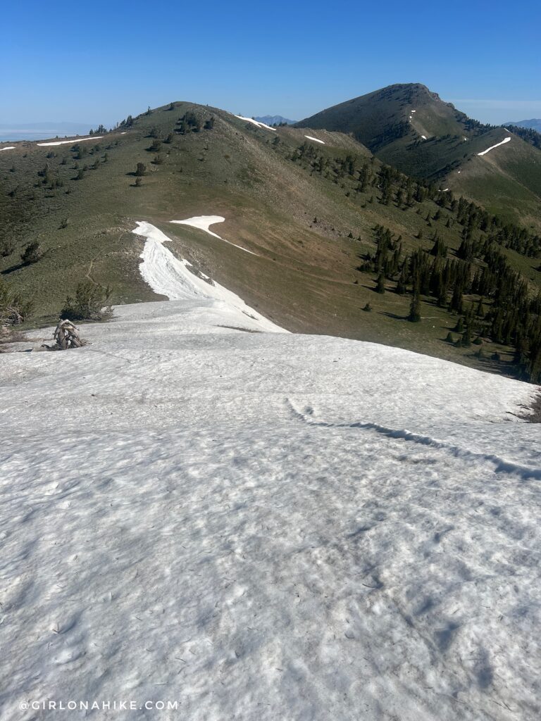
Depending on the season, you may encounter lingering snowfields along the ridge. In late spring and early summer, these patches can provide a fun and speedy descent for experienced hikers.
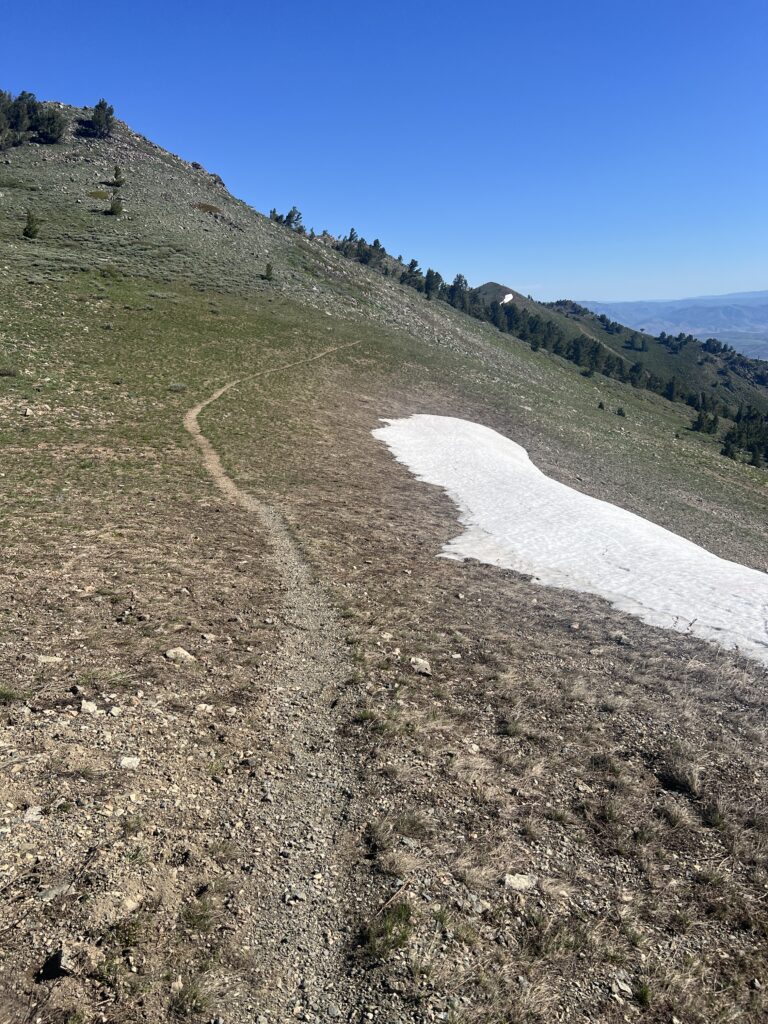
Continue following the well-defined trail as it traverses the ridge toward Thurston Peak. The route is easy to follow and offers continuous views in every direction.
Cairn Junction
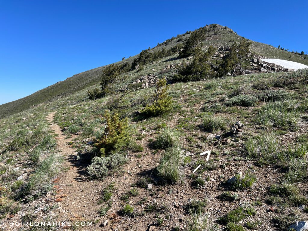
At approximately 4.0 miles, watch for a large cairn marking the turnoff to Thurston Peak. Leave the main trail here and follow a faint path marked by additional cairns for the final 0.2-mile climb to the summit. This section is steeper and less defined, but navigation remains straightforward if you stay near the ridge crest.
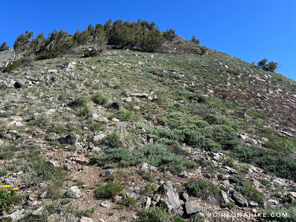
Several social trails lead to the summit, so simply follow the path that appears most worn while continuing uphill. All routes converge near the summit of Thurston Peak.
RN Story & Summit
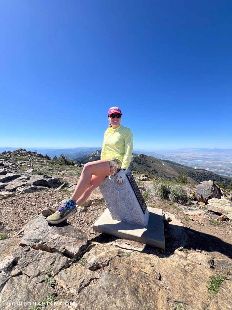
Thurston Peak will always hold a special place in my heart. While standing on the summit, I checked my email and learned that I had officially received my Registered Nurse license. After years of hard work, nursing school, and passing the NCLEX, I finally achieved my goal. I couldn’t hold back the tears, and this summit instantly became one of my most memorable hiking experiences in Utah.
👉 CVG Fitness Shorts: Get 15% off your entire order, use the code “GIRLONAHIKE” at checkout (first time buyers only)!
2016 with Charlie
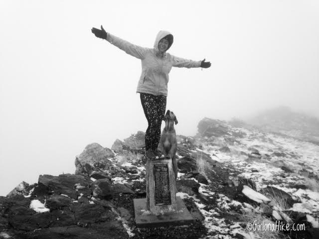
The first time I hiked Thurston Peak was back in 2016 with Charlie. We spent the entire day hiking through clouds and steady rain, missing most of the views. Even so, it’s one of my favorite memories on this trail, and I still love this photo of Charlie looking up at me.
Trail Map
My track via Gaia GPS – the best tracking app! Get your app here for a discount.
Nearby Hike
Hiking to Smith Creek Lakes, Wasatch Mountains

Save me on Pinterest!