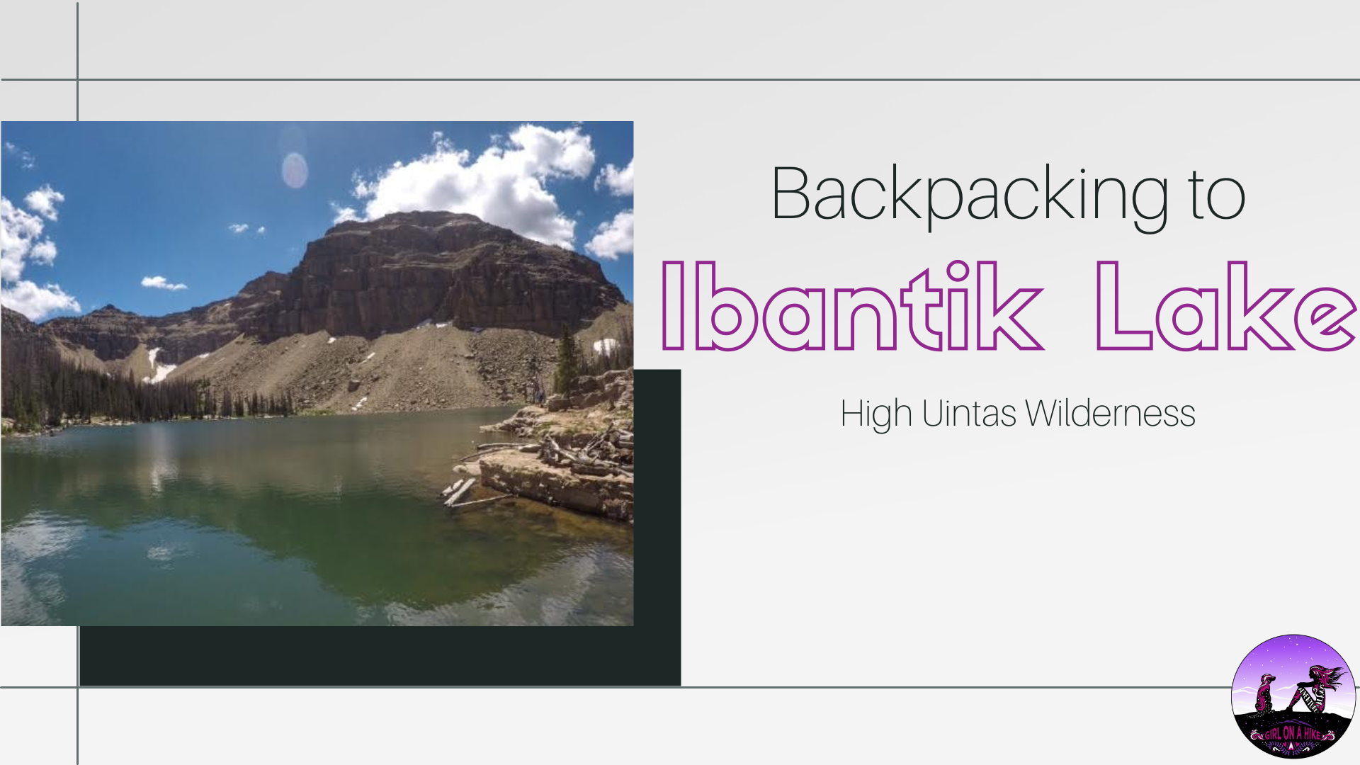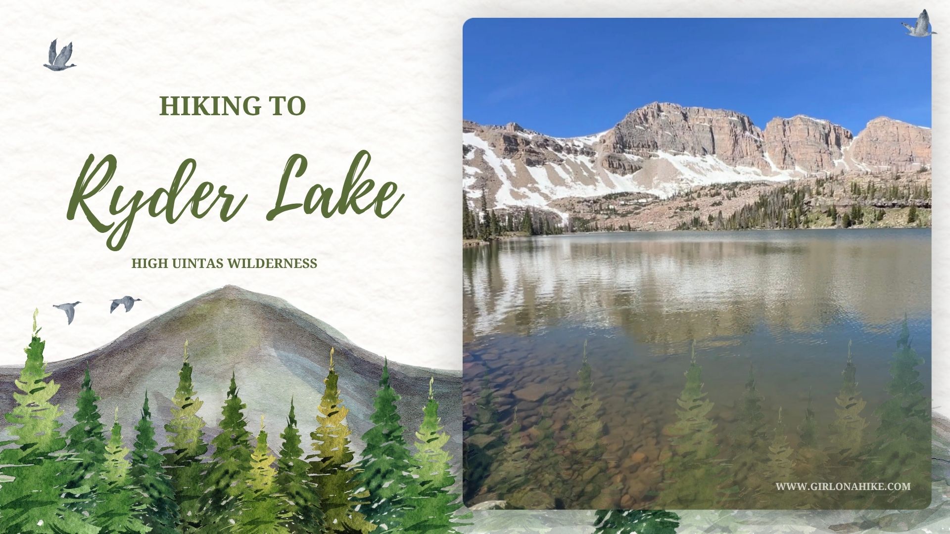

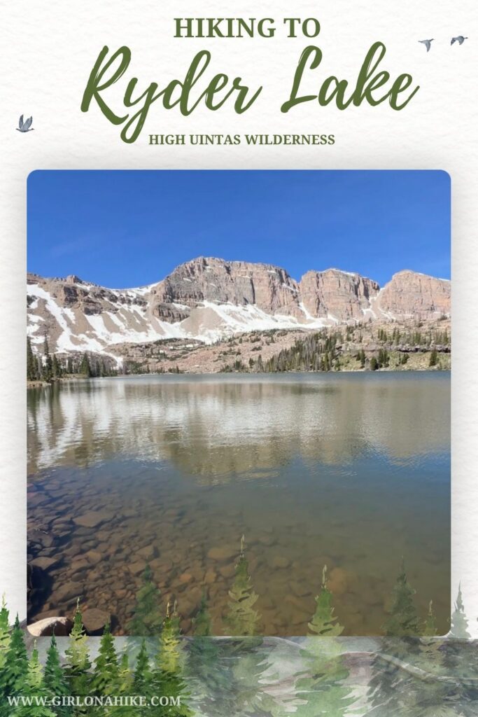
Hiking to Ryder Lake in the High Uintas Wilderness is a beautiful high alpine lake at 10,627 ft surrounding by high peaks and blue water.
About Ryder Lake
Hiking to Ryder Lake in the High Uintas Wilderness is a rewarding adventure to a stunning alpine lake. Surrounded by rugged mountain peaks, wildflower-filled meadows, and crystal-clear blue water, Ryder Lake is one of the hidden gems of the western Uintas.
The trail gradually climbs through dense pine forests before emerging into open alpine terrain with expansive views of the surrounding wilderness. Upon reaching the lake, hikers are treated to a peaceful setting perfect for fishing, photography, camping, or simply relaxing along the shoreline.
Because of its high elevation, Ryder Lake is typically snow-free from late June through September, making summer and early fall the best times to visit. Whether you’re looking for a scenic day hike or a quiet backcountry destination, Ryder Lake offers some of the most beautiful alpine scenery in Utah’s High Uintas Wilderness.
Directions
From Salt Lake City, take I-80 east for approximately 35 miles and merge onto US-40 east toward Heber City. Continue on US-40 for about 30 miles, then turn left onto SR-150 (Mirror Lake Highway) toward Kamas and the Uinta Mountains. Follow Mirror Lake Highway for approximately 45 miles to milepost 45.9, just past the Uinta-Wasatch-Cache National Forest Ranger Station.
Turn left onto the signed Christmas Meadows Road and continue about 3 miles to the Christmas Meadows Campground. Stay on the main road until you reach the signed Christmas Meadows Trailhead parking area, where the hike begins. The trailhead has a large parking lot and pit toilets.
Drive Time from Salt Lake City: Approximately 2 hours 15 minutes
Trailhead: Christmas Meadows Trailhead
Road Conditions: Paved highways followed by a well-maintained gravel road suitable for most passenger vehicles during the summer season.
Seasonal Access: Mirror Lake Highway is typically open from late May through October, depending on snowpack and road conditions.
Here is a driving map.
Trail Info
🥾 Distance: 9 miles one way
⛰️ Elevation Gain: 2,000 ft
⏱️ Time: 3–5 hours one way
🐕 Dog Friendly: Yes, off leash
👧 Kid Friendly: Yes, ages 12+
🎟️ Fees/Permits: Yes, Visitors to the Uinta-Wasatch-Cache National Forest can choose from several recreation pass options:
3-Day Pass: $10 and valid for three consecutive days.
7-Day Pass: $20 and valid for seven consecutive days.
Annual Pass: $60 and valid for 12 consecutive months. Annual passes expire at the end of the purchase month the following year.
If you plan on visiting multiple trailheads throughout the year, the annual pass is typically the best value. You can also use your National Park Pass!
Hiking to Ryder Lake: What to Expect
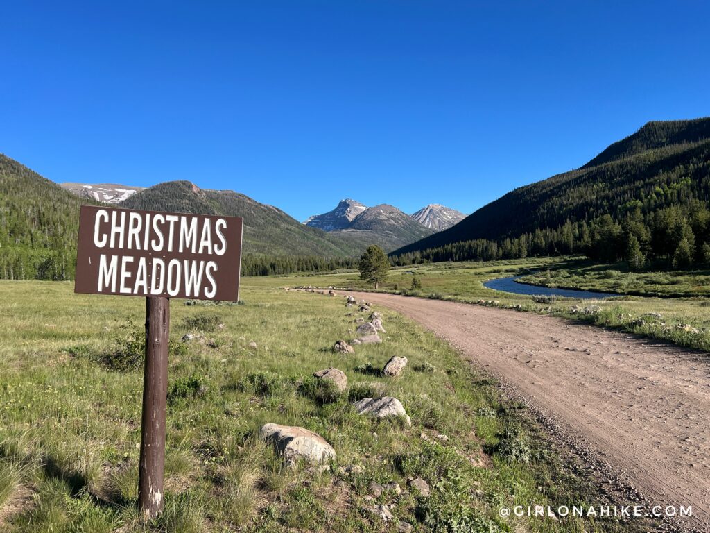
The drive into Christmas Meadows is one of the highlights of the trip. This scenic valley serves as the gateway to Ryder Lake and offers beautiful views of the High Uintas Wilderness. The area is also popular for fly fishing thanks to the nearby Stillwater Fork.
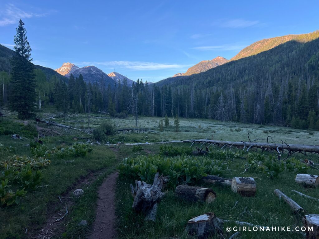
I camped near the Christmas Meadows Trailhead so I could start hiking early. Even during summer, mornings in the High Uintas can be surprisingly cold, so be sure to pack extra layers.
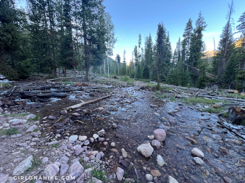
At 0.7 miles, you’ll encounter the first of several stream crossings along the Ryder Lake Trail. The terrain remains mostly flat, though the trail can be rocky for the next two miles.
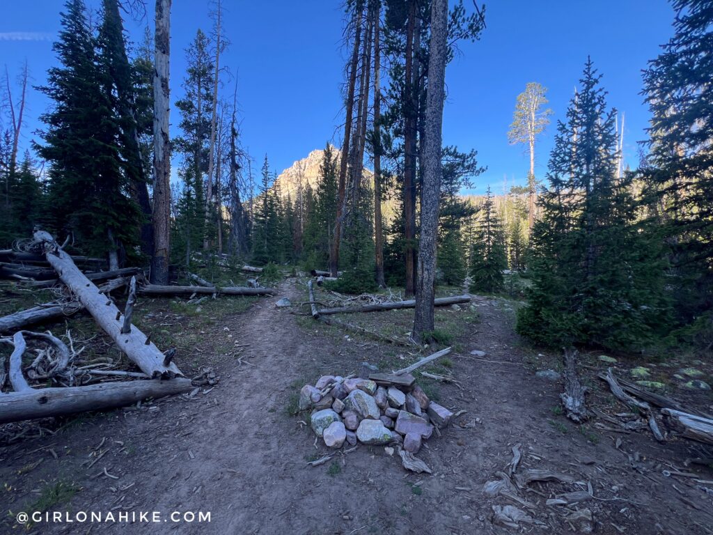
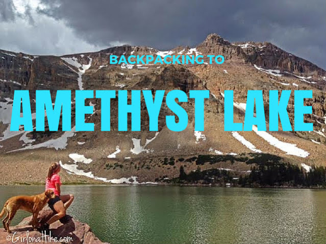
Amethyst Lake Junction
At 2.5 miles, stay straight toward Ryder Lake. The trail branching left leads to Amethyst Lake, one of the most popular backpacking destinations in the High Uintas Wilderness.
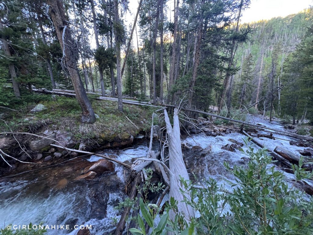
Shortly after the junction, you’ll encounter another creek crossing. Water levels can vary throughout the season, and early mornings may bring icy conditions on logs and rocks.
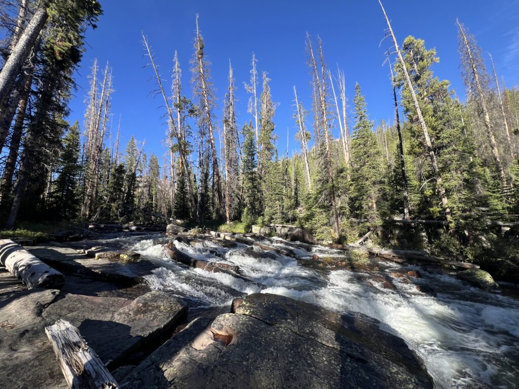
This small cascade makes an excellent place to filter water, enjoy a snack, or take a short break before continuing deeper into the High Uintas Wilderness.
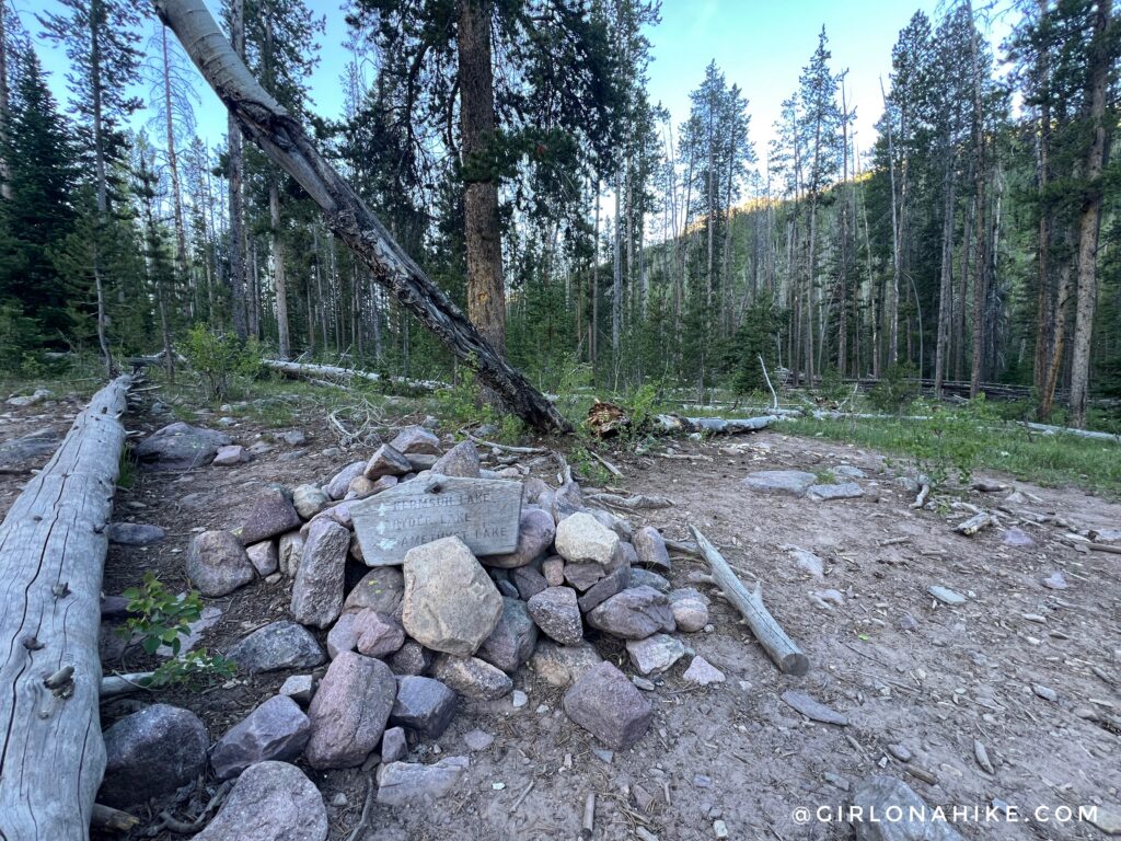
Stillwater Trail Junction with Kermsuh Lake
At 4.6 miles, stay left for Ryder Lake. The trail to the right leads to Kermsuh Lake, another beautiful alpine lake tucked away in the High Uintas.
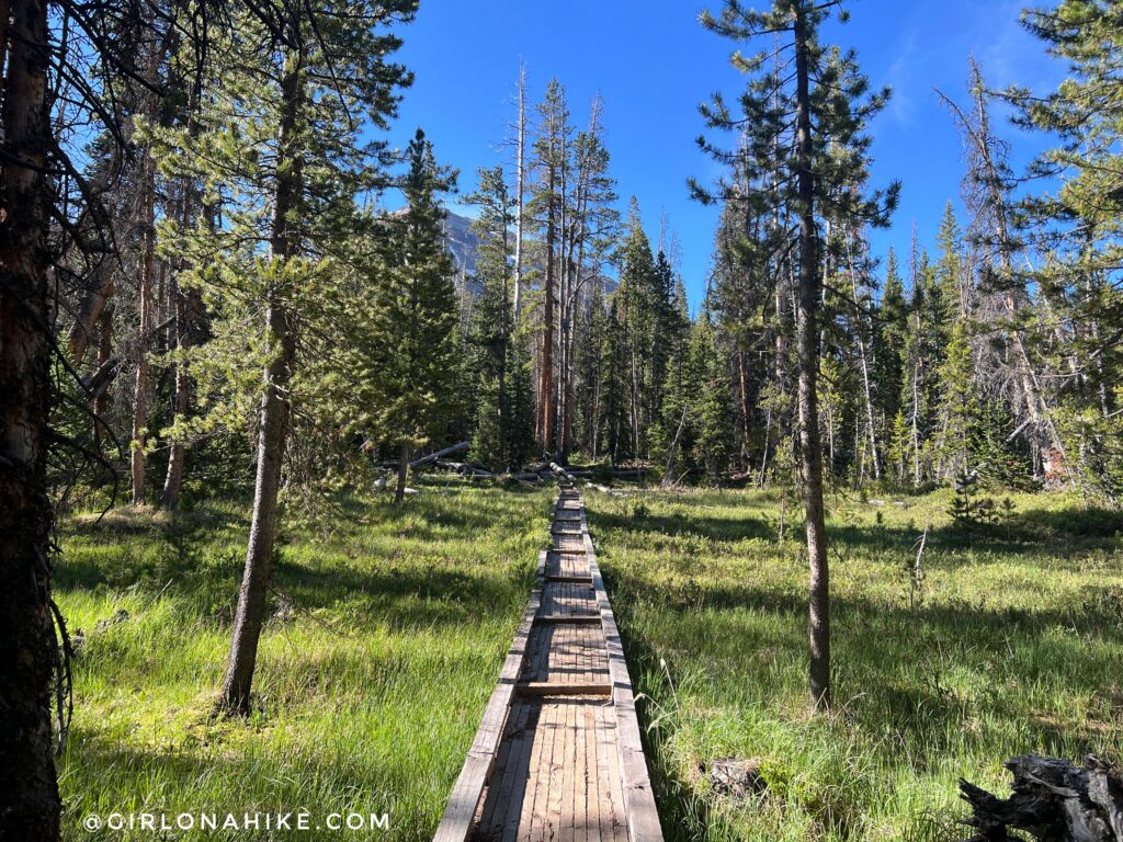
Several boardwalk sections help hikers cross marshy meadows while protecting the fragile alpine ecosystem.
Entering the Ryder Lake Basin
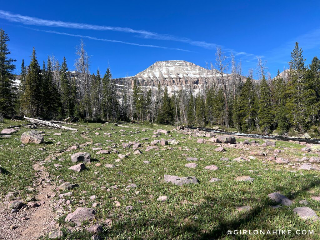
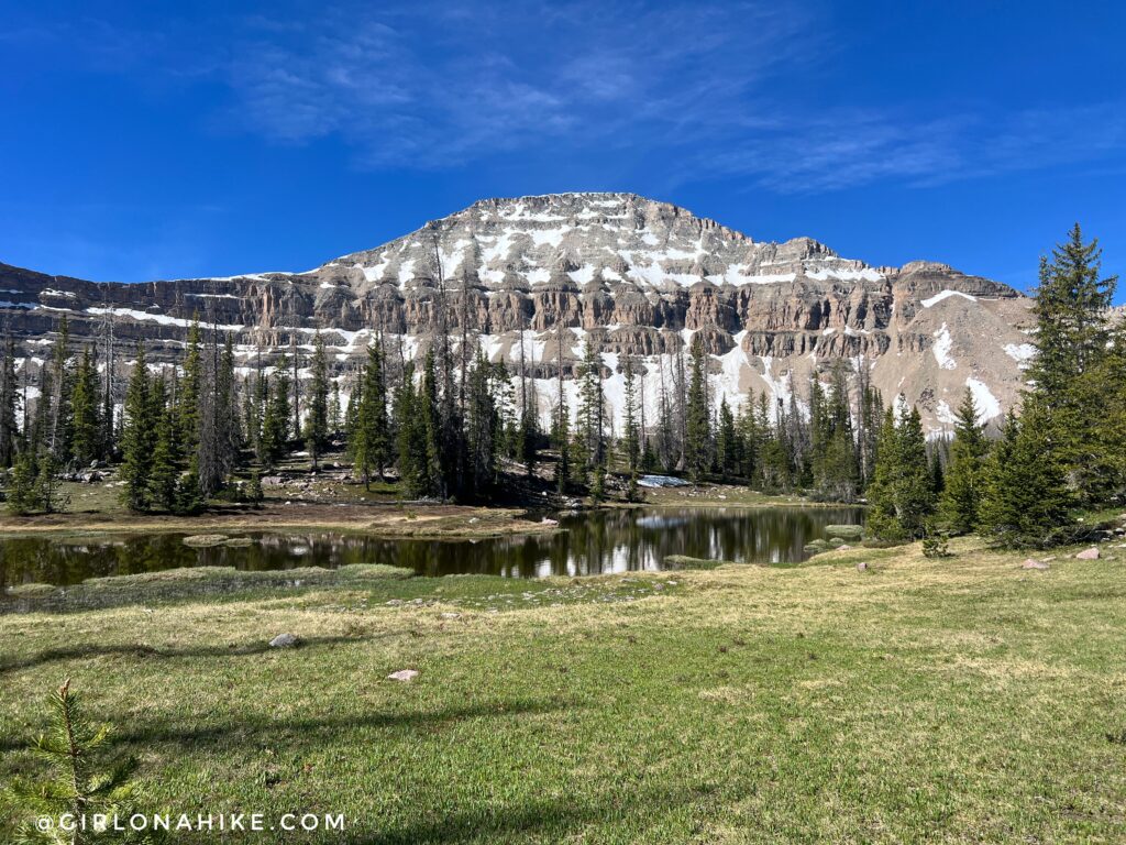
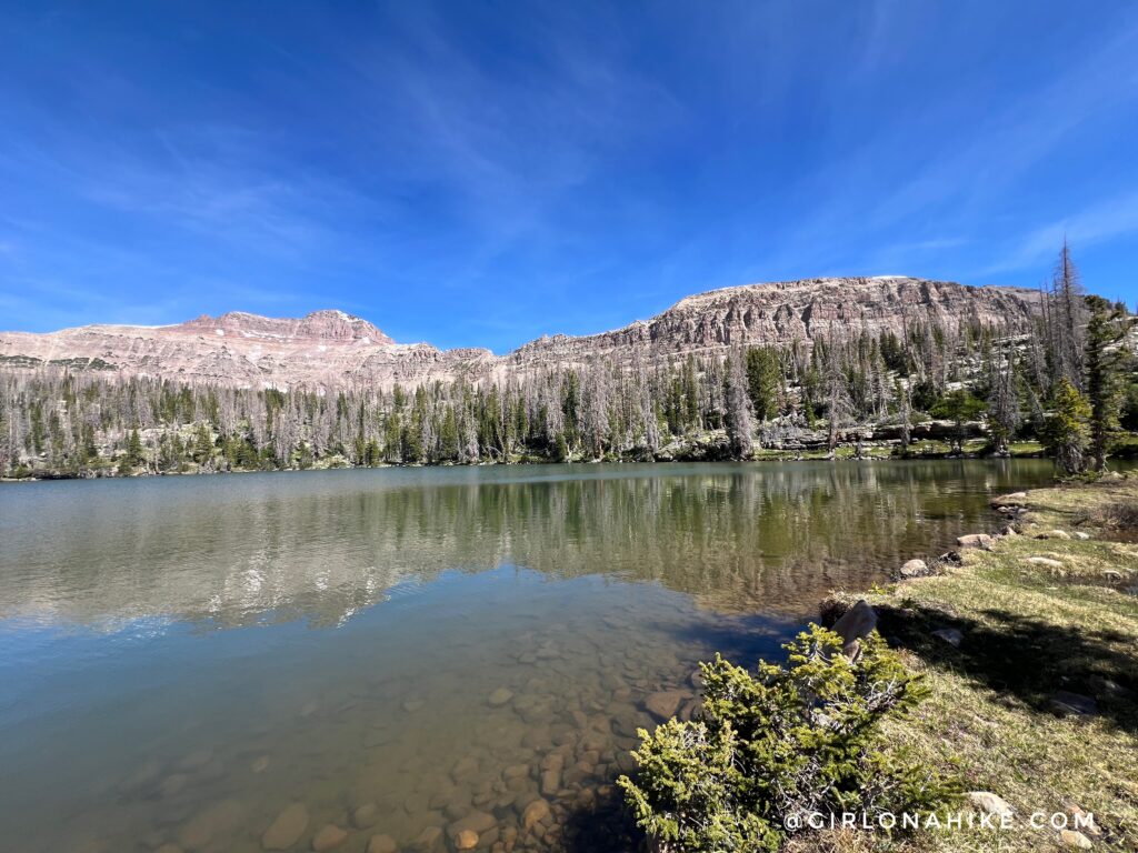
Around 7.5 miles, the trail finally opens up to reveal the stunning Ryder Lake basin, with Mount Agassiz towering above the surrounding alpine landscape.
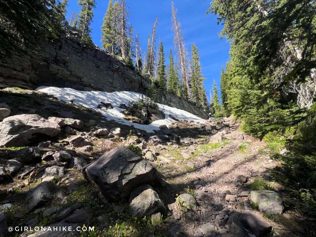
The trail climbs through a narrow gully, marking the steepest section of the hike. Fortunately, the climb is short and lasts less than one-third of a mile.
After the climb, the Stillwater Trail levels out and passes several small alpine ponds surrounded by wildflowers and mountain views.
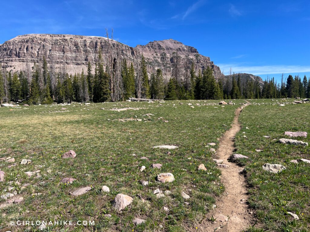
The trail takes a sharp right but only briefly. The trail is now less rock, and more dirt – much easier!
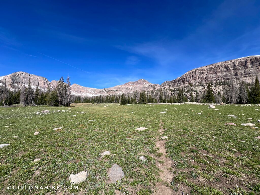
Hayden Peak comes into full view here, signaling that Ryder Lake is just around the corner.
Ryder Lake in the High Uintas Wilderness
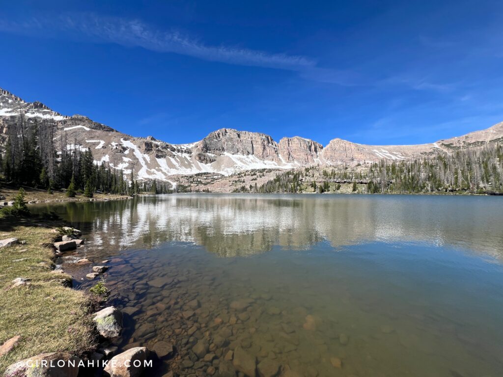
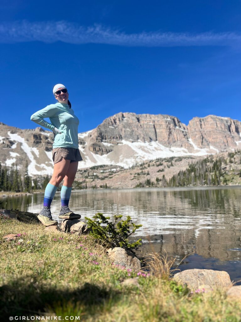
At 9 miles, you’ll finally arrive at Ryder Lake, a stunning alpine lake sitting at 10,627 feet in the heart of the High Uintas Wilderness.
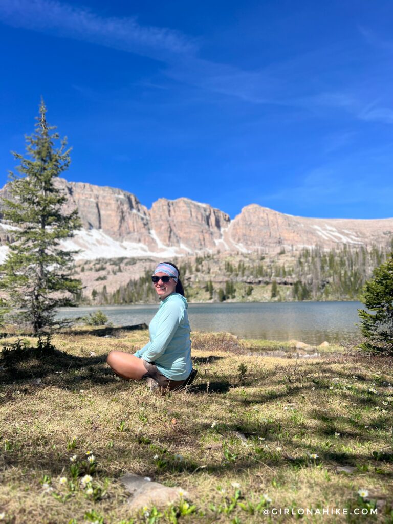
Ryder Lake is the perfect place to relax, enjoy lunch, and soak in the surrounding mountain scenery before heading back.
The crystal-clear water at Ryder Lake is one of the highlights of the hike. If you have extra time and energy, nearby McPheters Lake is only about one additional mile round trip.
After spending time at the lake, it was time for the long run back to the trailhead. Ryder Lake made for an excellent solo adventure and a memorable day in the High Uintas.
Watch the video to Ryder Lake
Trail Map
My track via Gaia GPS – the best tracking app! Get your app here for a discount.
Nearby Hike
Hiking to Amethyst Lake, High Uintas

Save me on Pinterest!
![]()