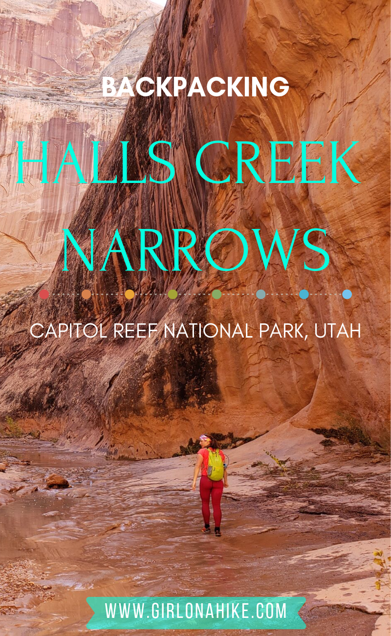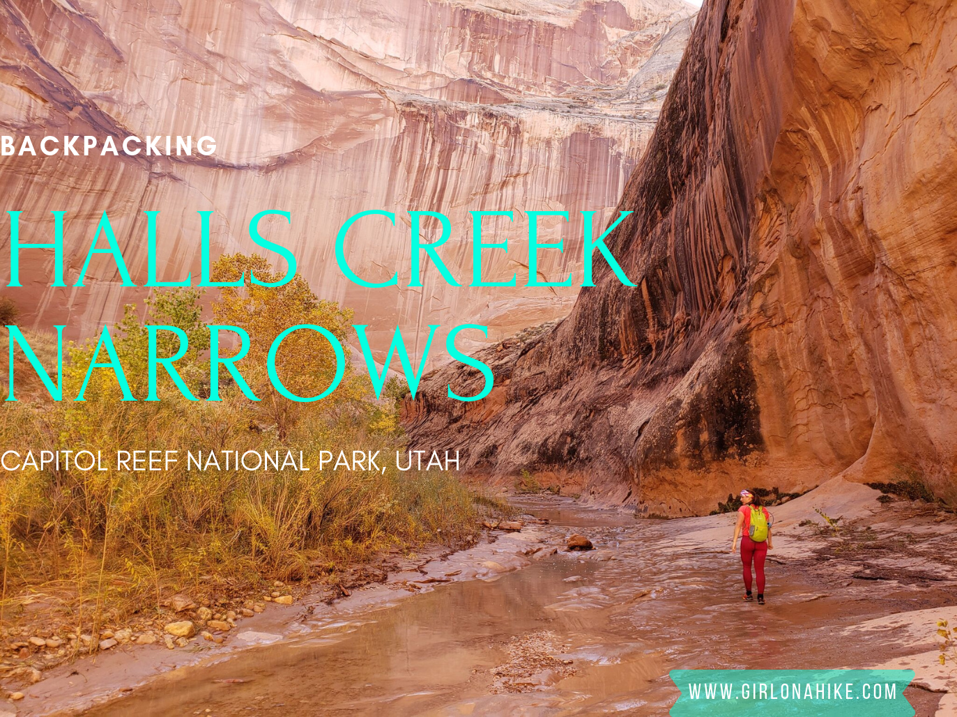

Backpacking Halls Creek Narrows is located within Capitol Reef National Park, only a few miles North from Lake Powell. This area of the park sits between the high cliffs of Hall Mesa on the East, and the Waterpocket Fold on the West. As you backpack towards Halls Creek Drainage (aka Grand Gulch), you’ll be surrounded by red, white, and orange slick rock, all while hiking through a mostly sandy trail.
About
The trail is easy to follow, and you can’t really get lost as you aim South for 9.3 miles. However, there are plenty of side slot canyons to explore as well.
Driving to the Brimhall Trailhead for the Halls Creek Overlook is an adventure of itself – SUVs or larger will only be able to make it. The drive is roughly 2 hours from the CRNP Visitor Center, and the drive is slow, rough, and often rutted out depending on recent rains. But don’t let that discourage you from hiking to Halls Creek Narrows. This will be a trip of a lifetime. It’s still relatively unknown, and the only way to truly see everything is by backpacking at least one night. Yes, you will see people that have done it in a day. But don’t. You’ll definitely feel rushed, and miss out on details of the canyon walls, basking in the sun, exploring the side canyons, and definitely be sore!
This route is great for an intermediate to experience backpacker, as you need to be comfortable with a little route finding and map-reading. There’s nothing hard or technical about this trip, but it is a long haul in. Keep in mind that this is an unmaintained trail, so the National Park Service doesn’t not routinely keep the trail maintained. Do not rely on cairns. Please leave no trace and pick up any trash you may see – this area is too special to let it get trashed.
Directions
Here’s a driving map from SLC. Total drive time is about 5.5-6 hours one way. The last stop for gas/services is in Hanksville, UT.
GPS of the Brimhall Trailhead:
37.7178095,-110.9323025
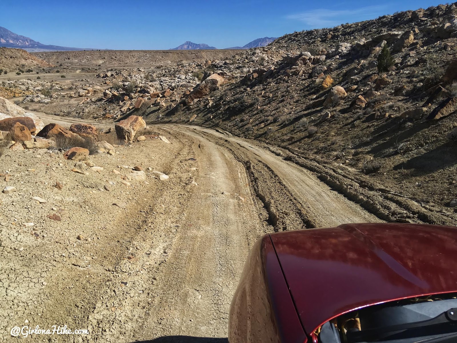 Depending on recent conditions, the road can be quite rutted out and small cars may not make it. It’s best to have an SUV or larger for the drive.
Trail Info
Distance: 25 miles RT
Elevation gain: 1,187 ft
Time: 1 night minimum
Dog friendly? No, dogs are not allowed on this trail
Kid friendly? Maybe, see notes below
Fees/Permits? Yes, you do need a free backcountry camping permit, which needs to be picked up at the CRNP Visitor Center.
FAQs
When is the best time to backpack here?
April & October seem to be the best months – the temperatures aren’t too hot, and in Spring the desert flowers are in bloom. Summer months are extremely hot and dry, along with monsoon season; winter is cold along with high winds. Due to the quick changes in weather, be aware of flash flood danger.
Is this kid friendly?
Not for younger kids, but teenagers who have backpacking experience and can carry their own weight & water should be fine.
How deep is the water? Is there a good water source to filter from?
It depends on recent rains. When we went at the end of October, we had several storms a week prior, and hiked through hip deep water in the narrows. Other people have reported it ankle deep.
The first water source to filter will be the “Fountain Tanks”, halfway to the Narrows. The next best place is at the “exit” of the Narrows at 9.3 miles in, which is also where the best camping is. Keep reading for details and photos.
Can I hike this in either direction?
There is only one main trail to get tot he Narrows area, but when it comes to the loop section yes, definitely! You really can’t go wrong with either direction, however hiking the loop in a clockwise direction gets the boring stuff out of the way first – hiking over “The Divide”. This way you will save the best for last, and will pop you right out near your tent (if you camped near the exit). You will also get to see the “subway” in the best angle.
How hard is the trail?
This depends on your experience, fitness level, pack weight and weather. There’s no technical areas on this route, but hiking through sand, brush, and slickrock are required. You should have a few backpacking trips under your belt, and be comfortable carrying up to 30-40 lbs for hours on end. As always, the lighter your pack, the easier your hike will be. More weight = harder hike.
I’ve heard there is a short-cut route…what’s the deal on this trail?
There is an alternate route that begins at the Airstrip Trailhead, known as the “short cut” route. The pro to hiking this way is that it cuts off 5 miles of hiking. The con is that it requires moderate route finding skills, down the cliff edge from Hall Mesa. We did not want to attempt climbing straight down 1,000 ft with our packs on, but if you would like to do this please research it yourself. I highly discourage you from taking this route.
Can I just do this as a day hike?
Yes! Day permits are available as well, but again, a permit is needed from the visitor center. Plan on 12+ hours of hiking, plus time for exploring the little side trails/canyons. Start really early in the morning to beat the heat, and I would still recommend carrying a water filter. Camping is not allowed at the TH.
What guidebook do you recommend?
I didn’t use a guide book for this trip, but this map is helpful.

Day 1
Distance: 9.3 miles to camp
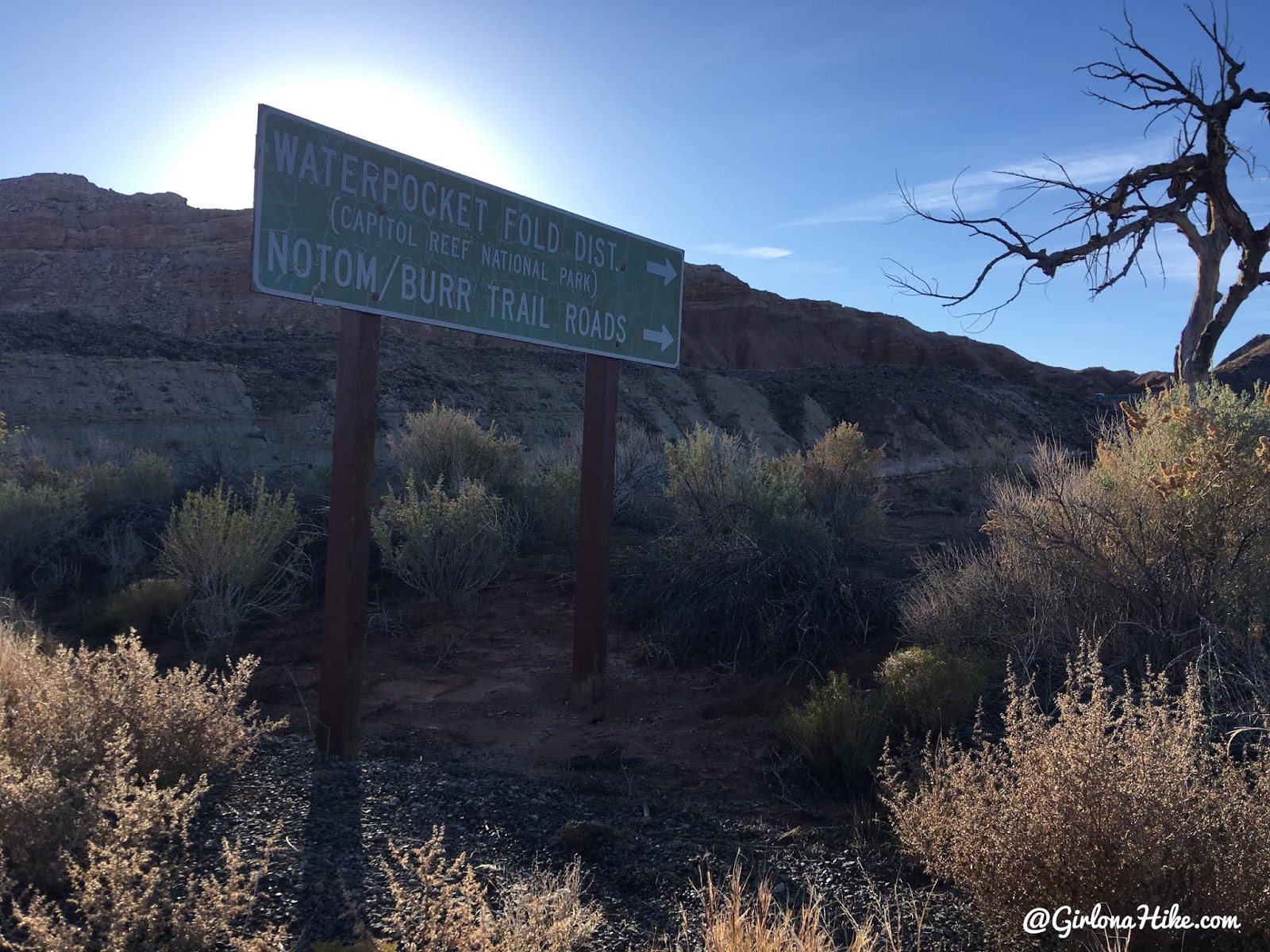
Driving from the CRNP Visitor Center, you’ll see this brown sign for Waterpocket Fold – turn here. Reset your odometer. At mile 16.5 you’ll cross a cattle guard and the road turns to dirt.
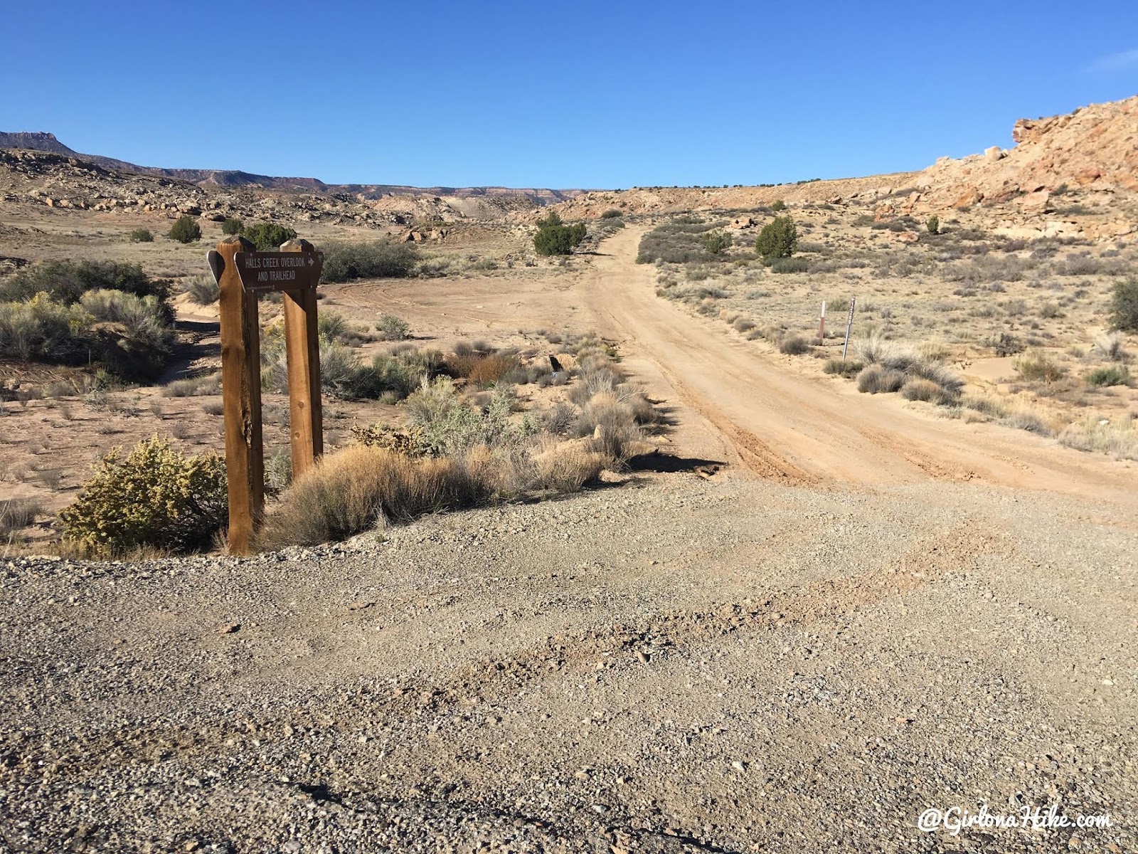
At mile 44 you’ll see the Halls Creek turn off, drive another 0.2 miles and you’ll see a second right hand turn. This is where small cars will definitely not make it. You can park a small car in that pull-out then hop in your friends car. If you don’t have an AWD/4X4 car you’ll have to walk from here, which adds on 2 miles. As long as you have some decent clearance you’ll make it over the rocks ahead. I drove my Forester and my tire spun on one rock, but I was able to make it over the rest of the bumps and rocks.
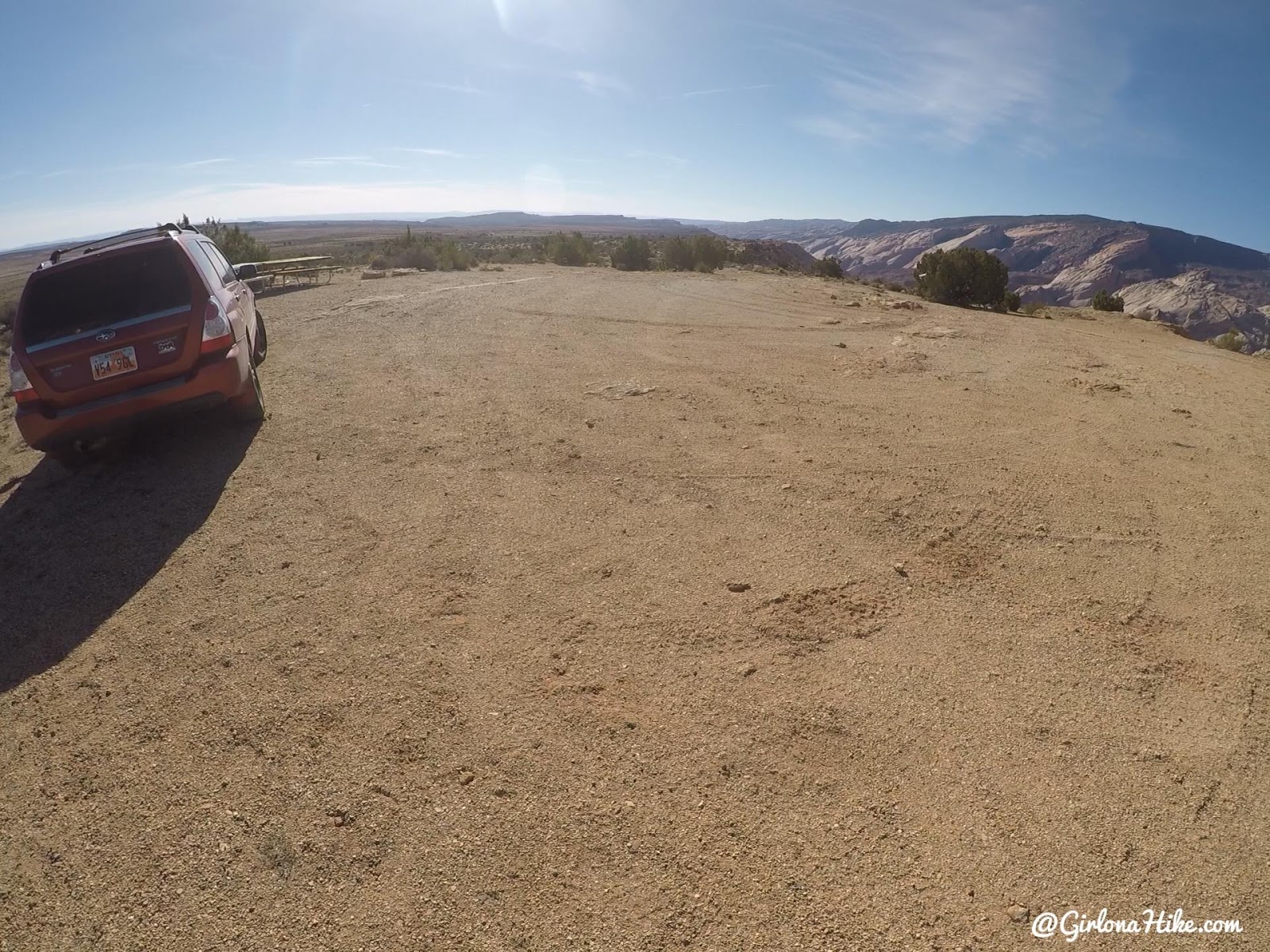
The actual parking area at the TH is quite large. There are two picnic tables as well, but camping is not allowed here.
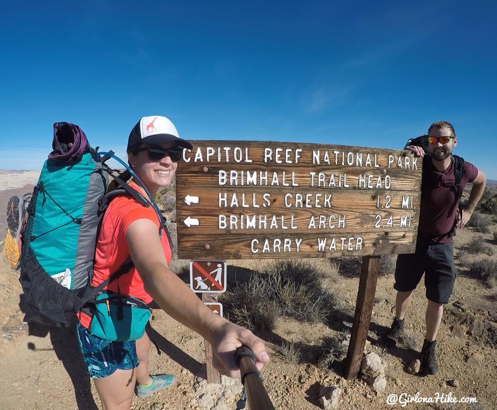
We picked up our backcountry permit at 8am when they opened and the drive took us about 1 hour 45 minutes. We didn’t start hiking until 11am, by the time we got our packs together.
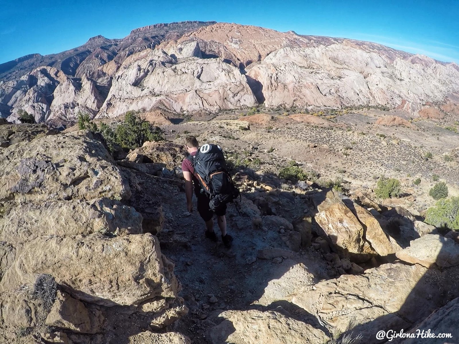
You’ll start by hiking down the rim for the first mile, which will drop almost 900 feet to the canyon floor.
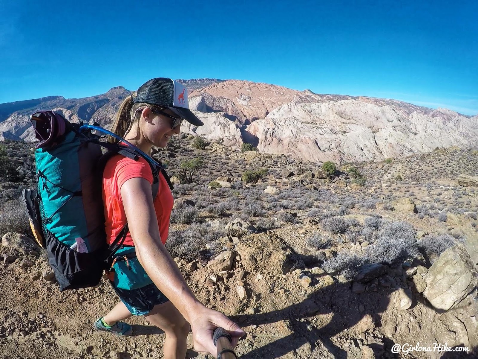
Ahhh so happy to be in warm temps and backpacking! If you have binoculars, you should be able to see Double Brimhall Arch in that canyon.
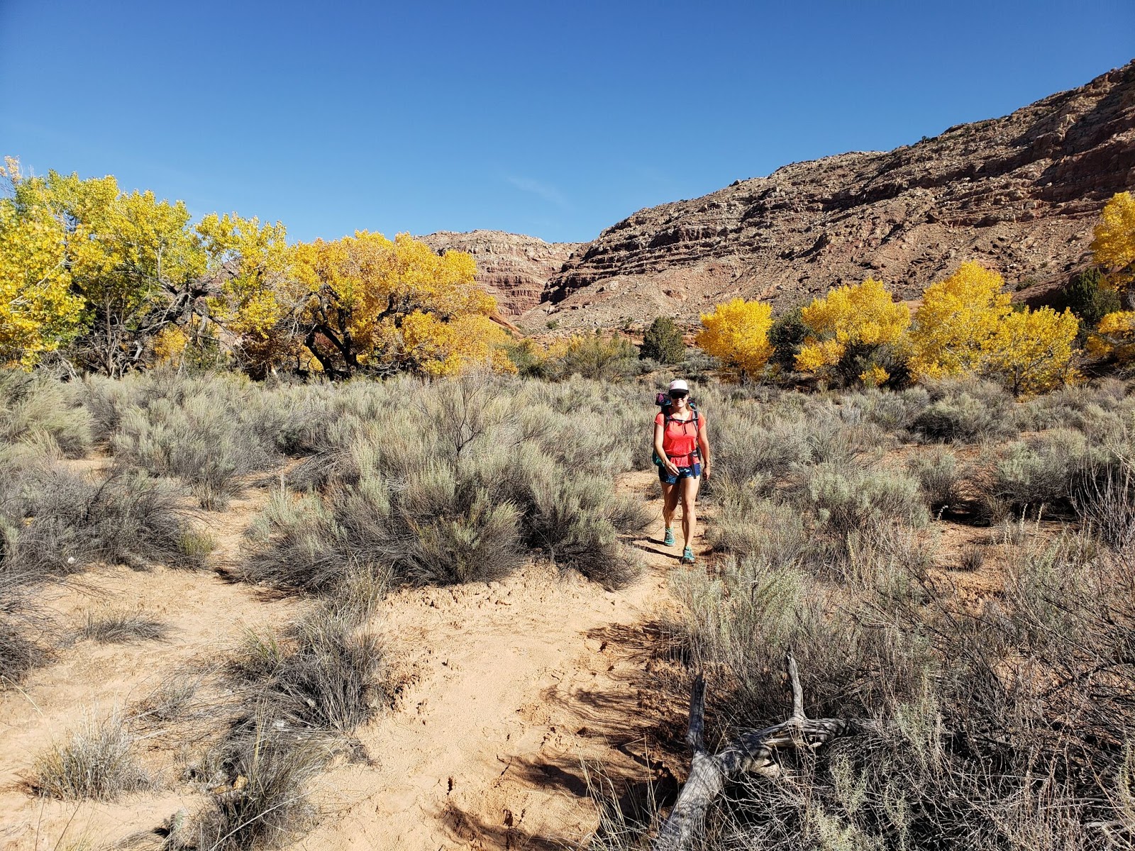
Look at those yellow Cottonwood trees!
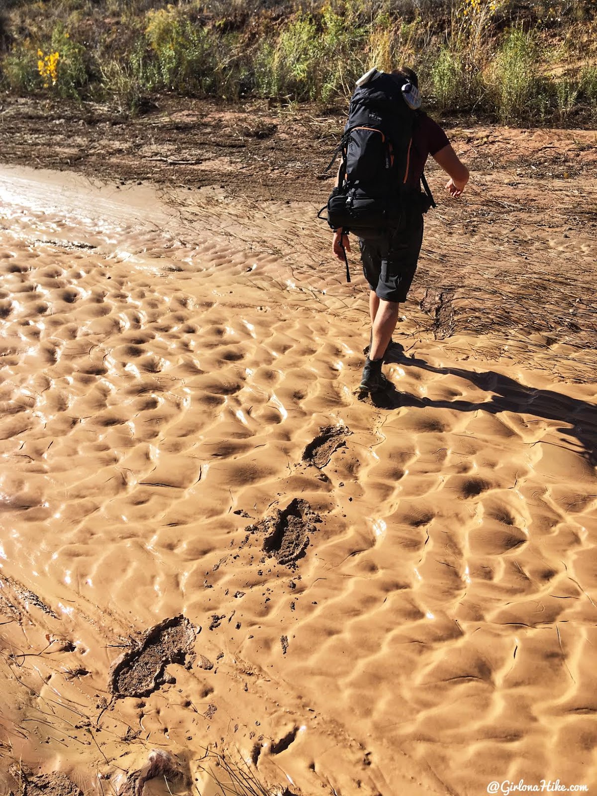
The stream bed was pretty mucky from recent rains. We tried to step in others foot prints.
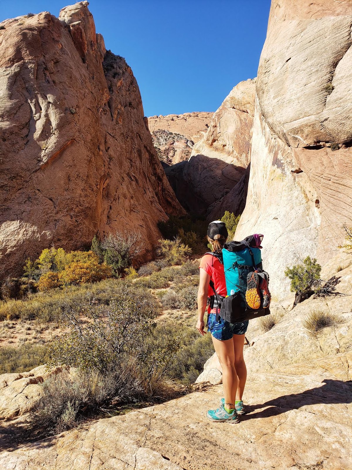
We decided to drop our packs and hike up the first canyon to see if we could spot Double Brimhall Arch.
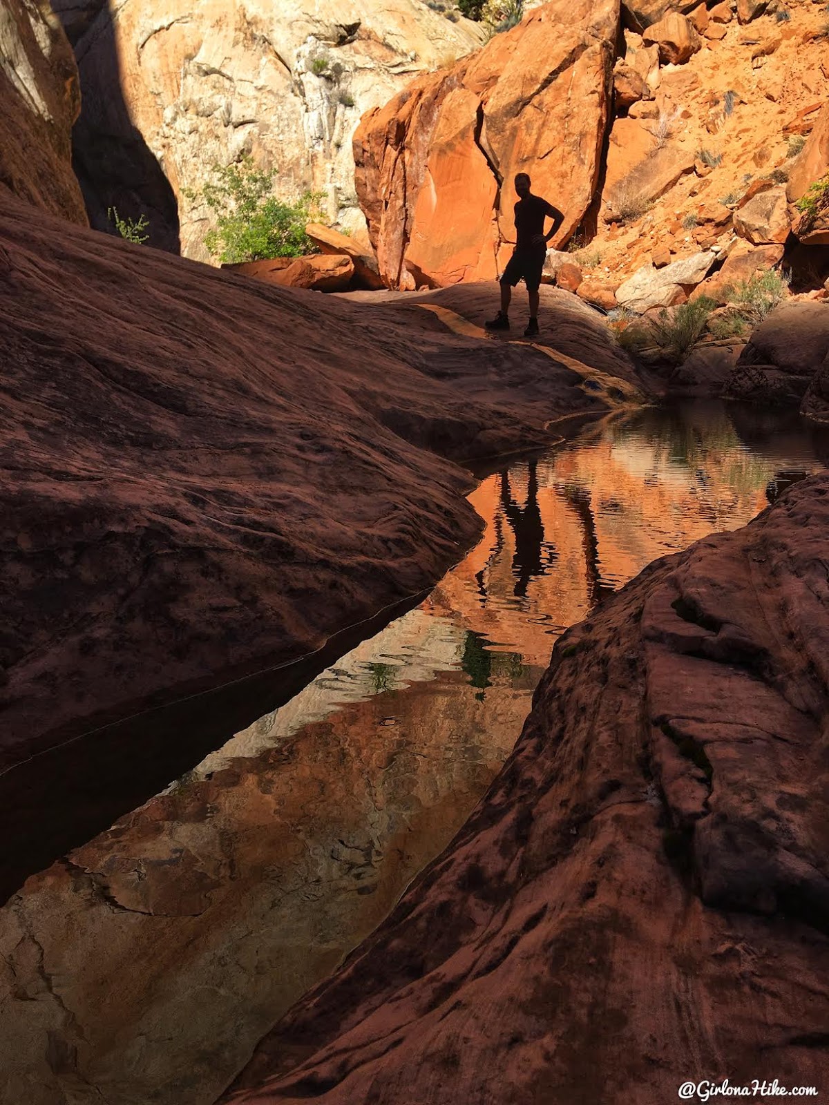
It was a really pretty canyon!
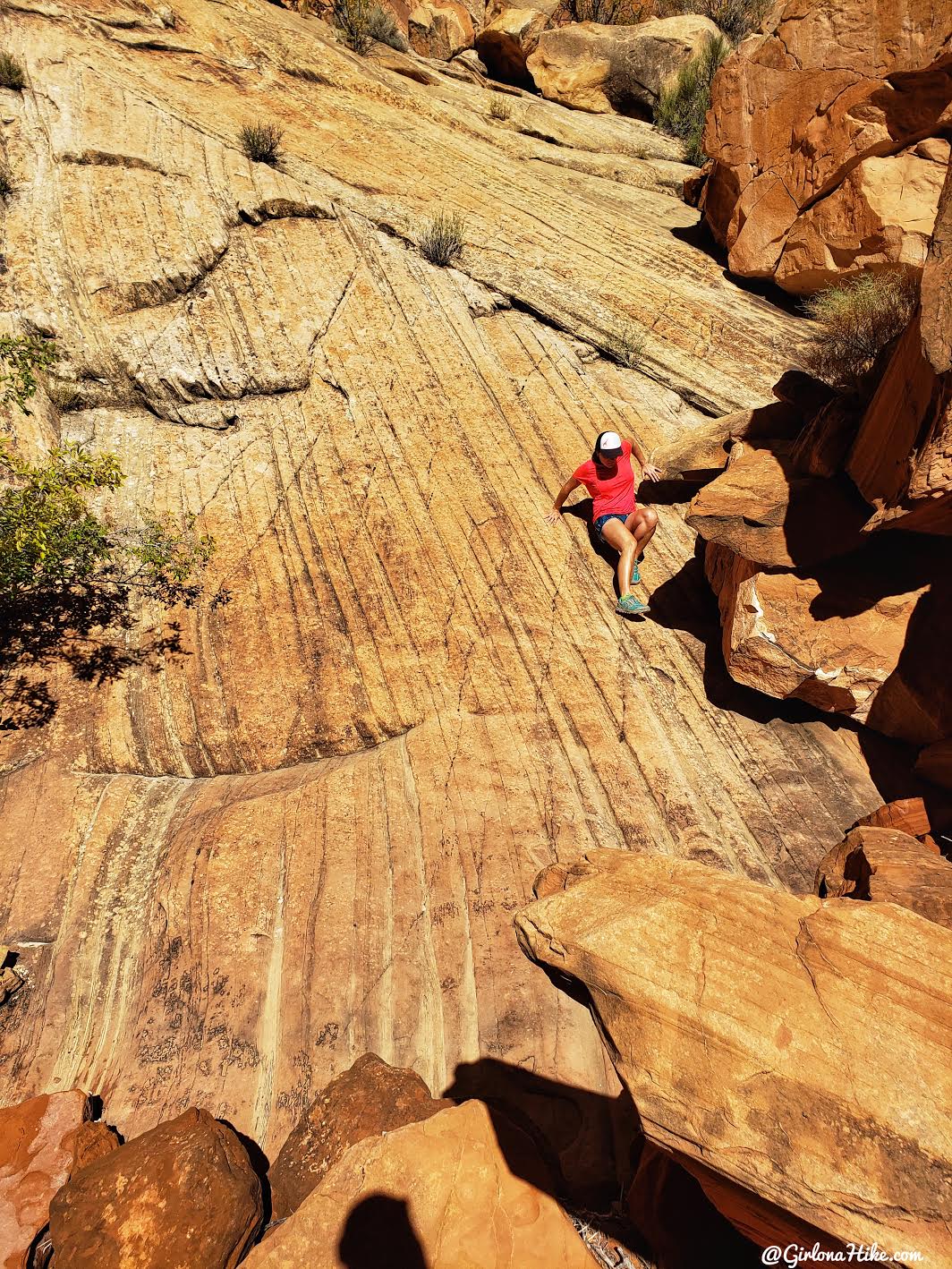
We scrambled up a steep slick rock area to spot the arch, but had no luck. Later I would find out if we had gone just a little further we’d been able to see it.
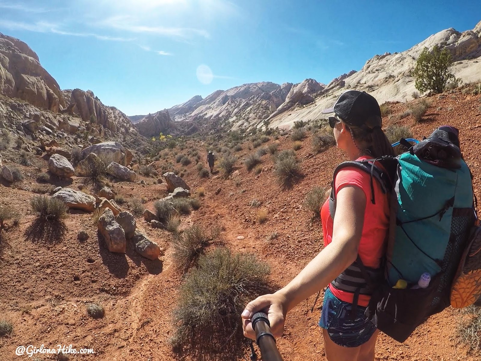
Coming out of that first canyon we missed the main trail and ended up on this side trail. It was actually super pretty.
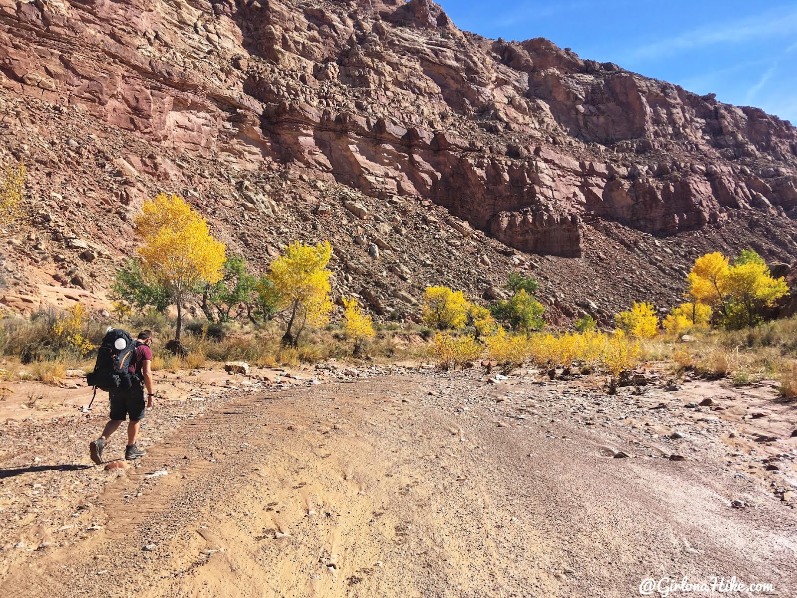
Endless dry stream crossings.
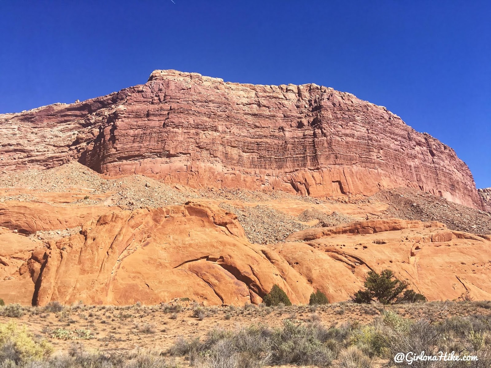
You know you are getting close when the left side canyon wall becomes more sheer and flat.
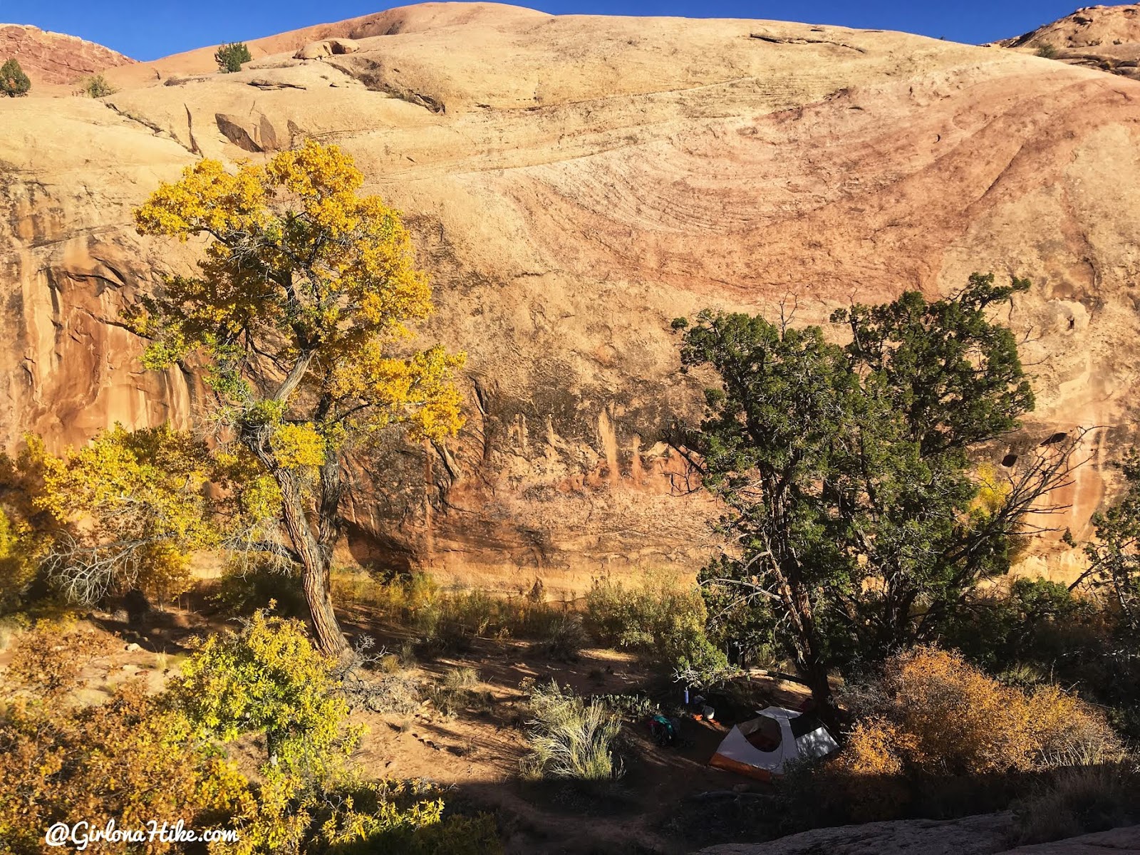
Ah, finally, we set up camp under a nice shady Juniper tree. There are several nice campsites at the “exit” of the canyon, roughly 9-9.3 miles in.
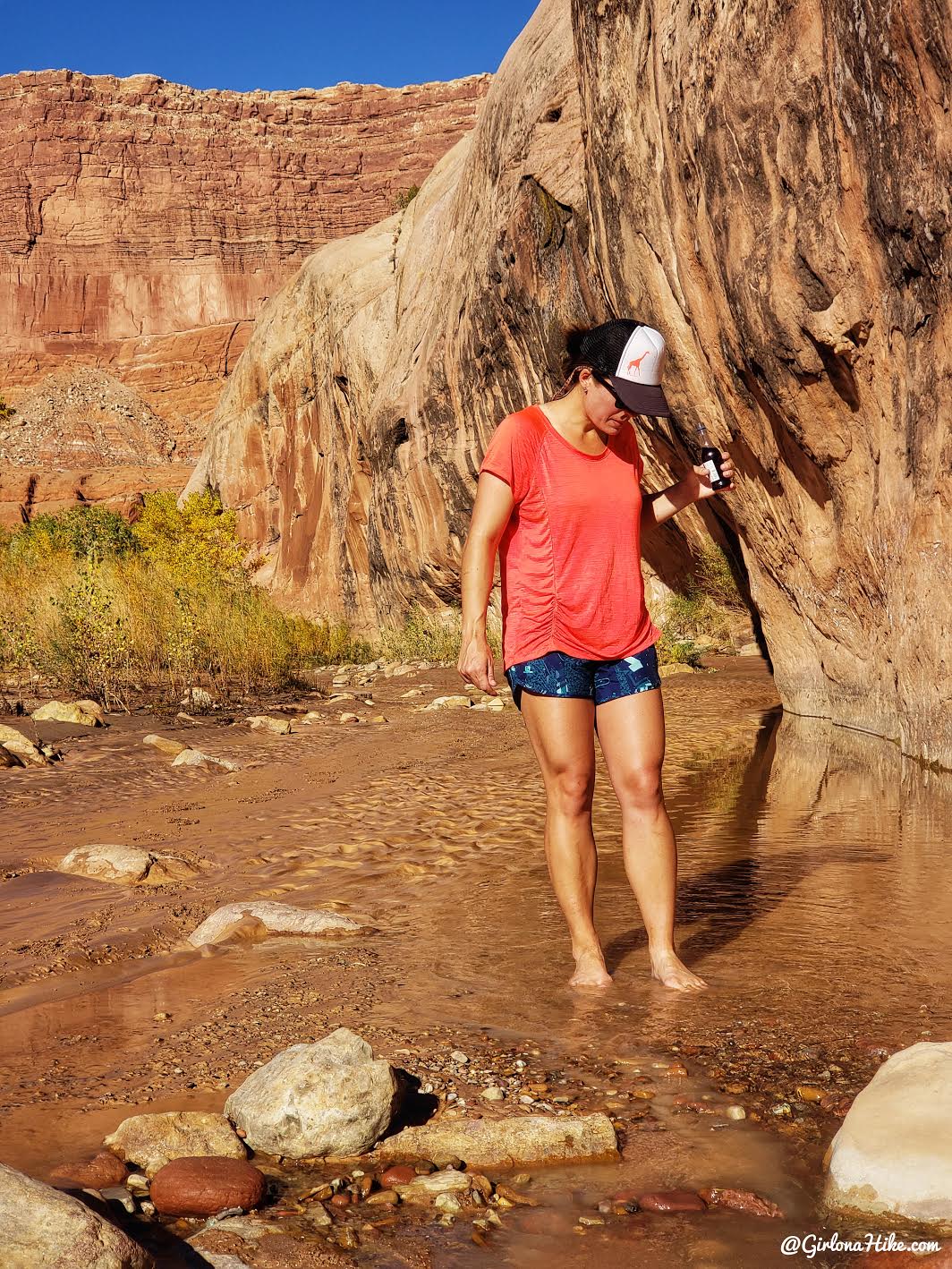
My favorite thing to do right after setting up camp. Shoes off, wine in hand. The sun felt sooo good!
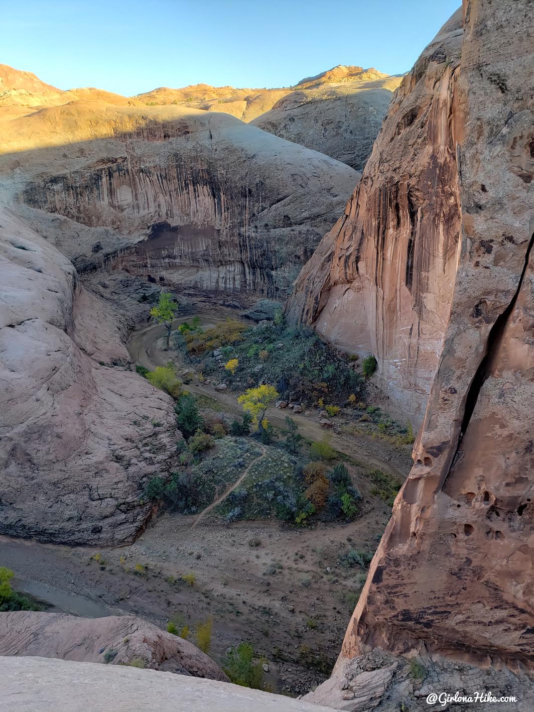
We explored the slick rock around camp and were able to look down into Halls Creek Narrows. Super excited to get in there!
Day 2
Distance: 9 miles
(Supposedly the loop is 7 miles but I tracked 9)
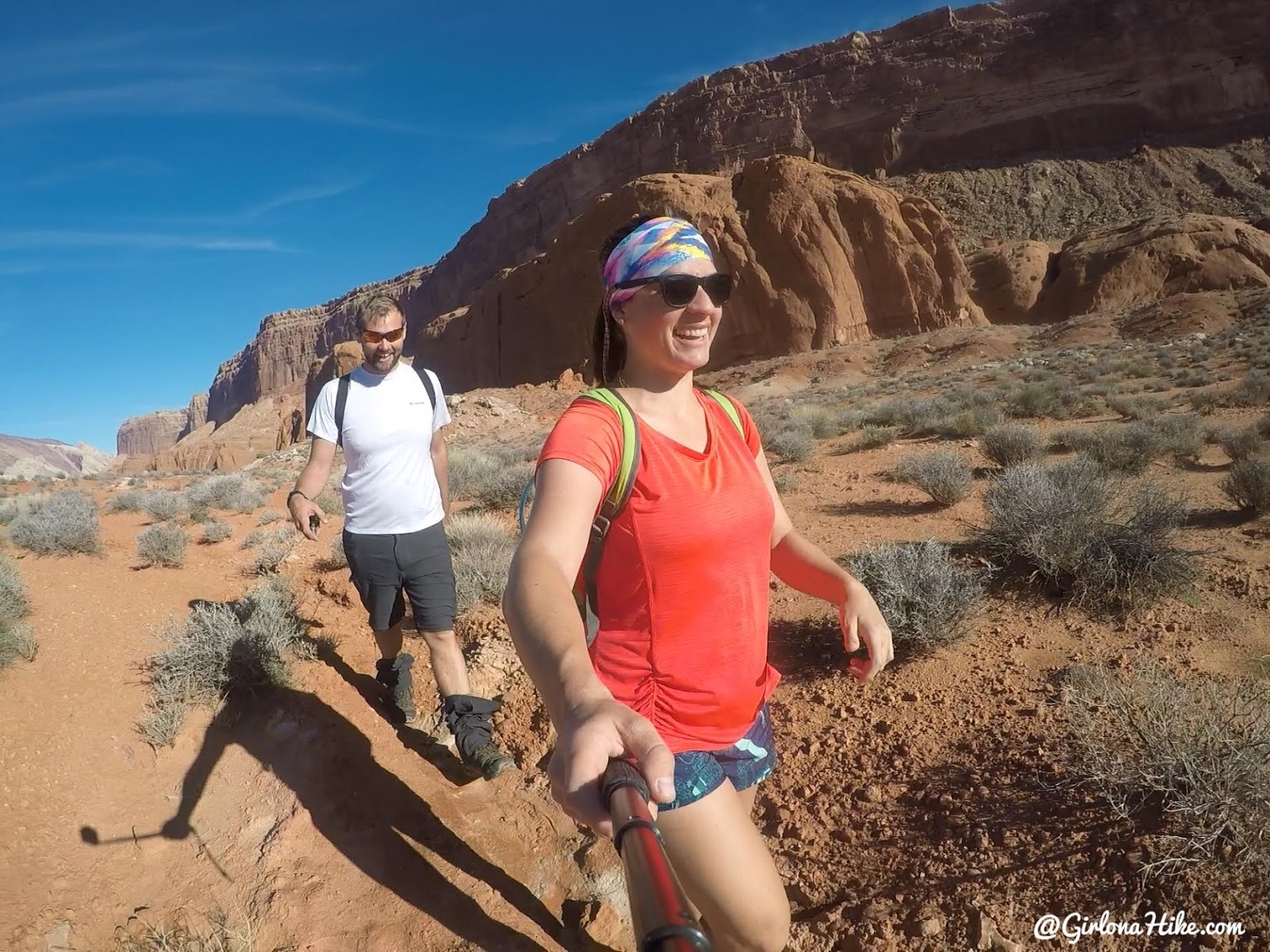
We woke up at a normal time, we didn’t want too early of a start since the temps were on the cool side. From our camp it was only 1 mile to The Divide, then another .5 mile to the Narrows entrance. We started out in shorts, but would soon change into my neoprene pants and Mike put on his swimsuit.
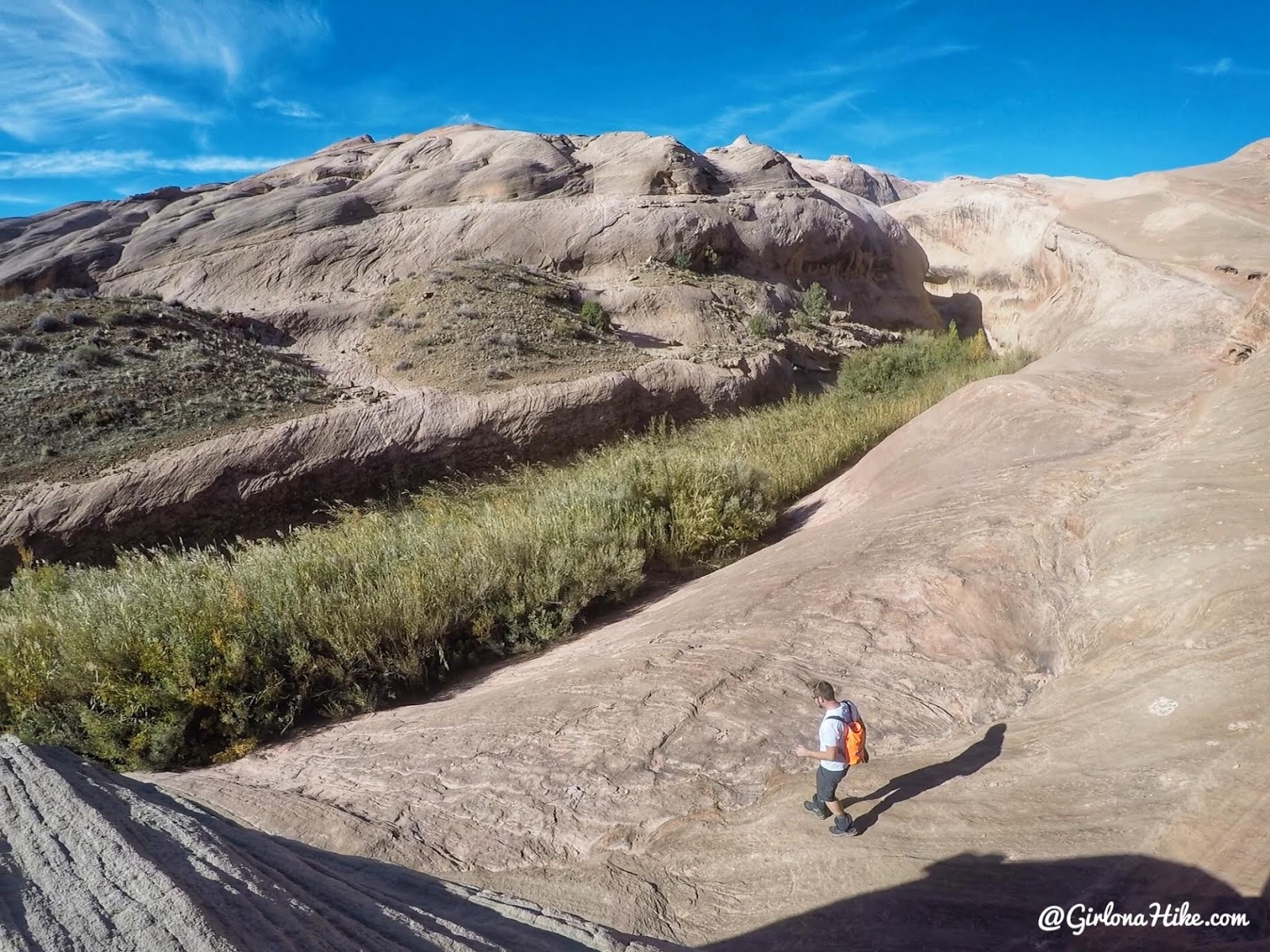
Keep following the trail, until you see the Narrows “entrance”. The only way you’ll really know where to enter is by looking at a map. Some cairns were there to guide the way. Don’t rely on those in case people or floods remove them.
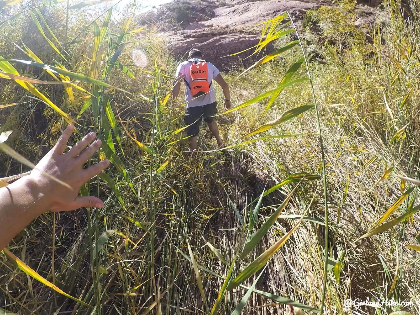
It was a bit brushy entering the canyon at first. It only lasted for a few minutes.
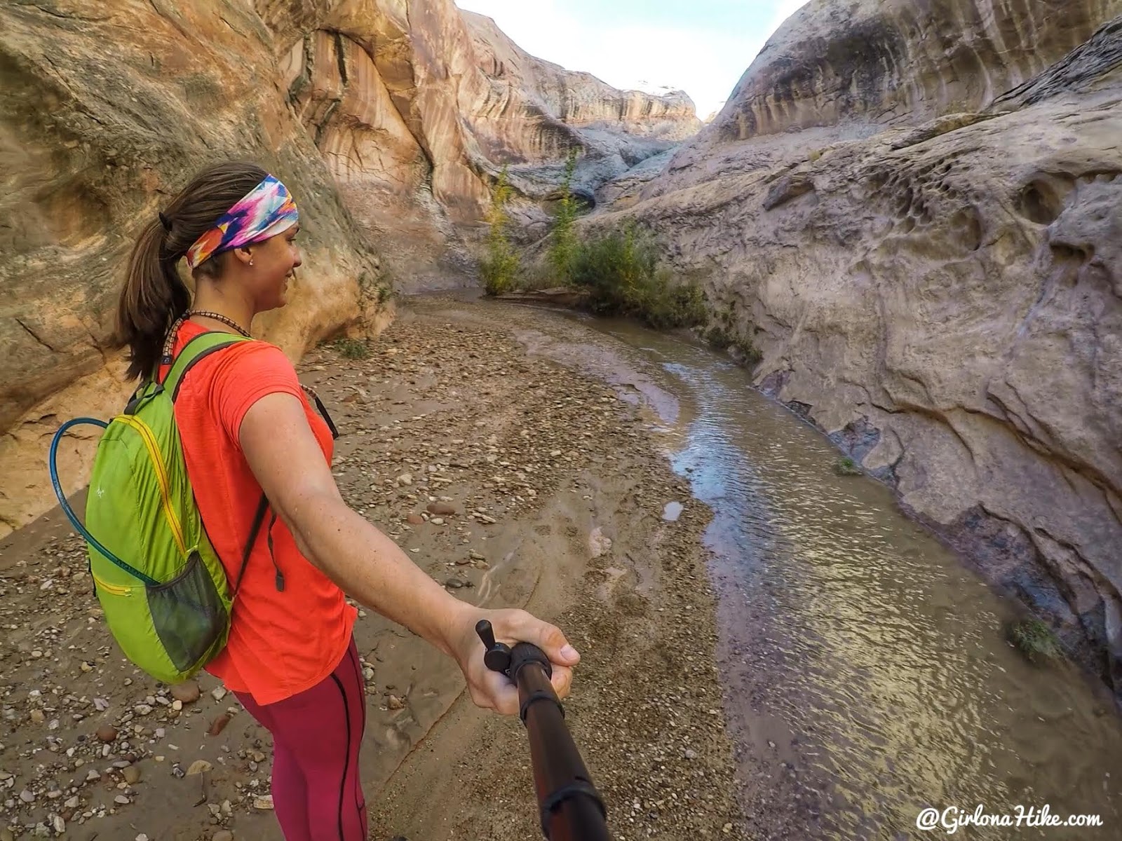
YAY, finally making our way into The Narrows! Let the games begin…
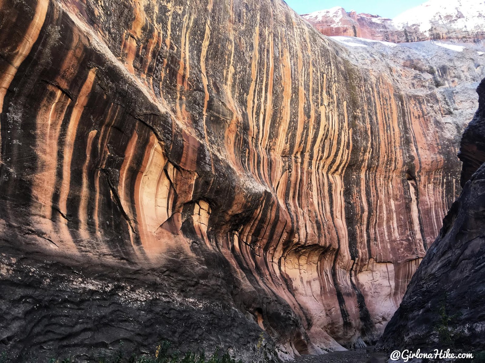
Amazing striped walls!
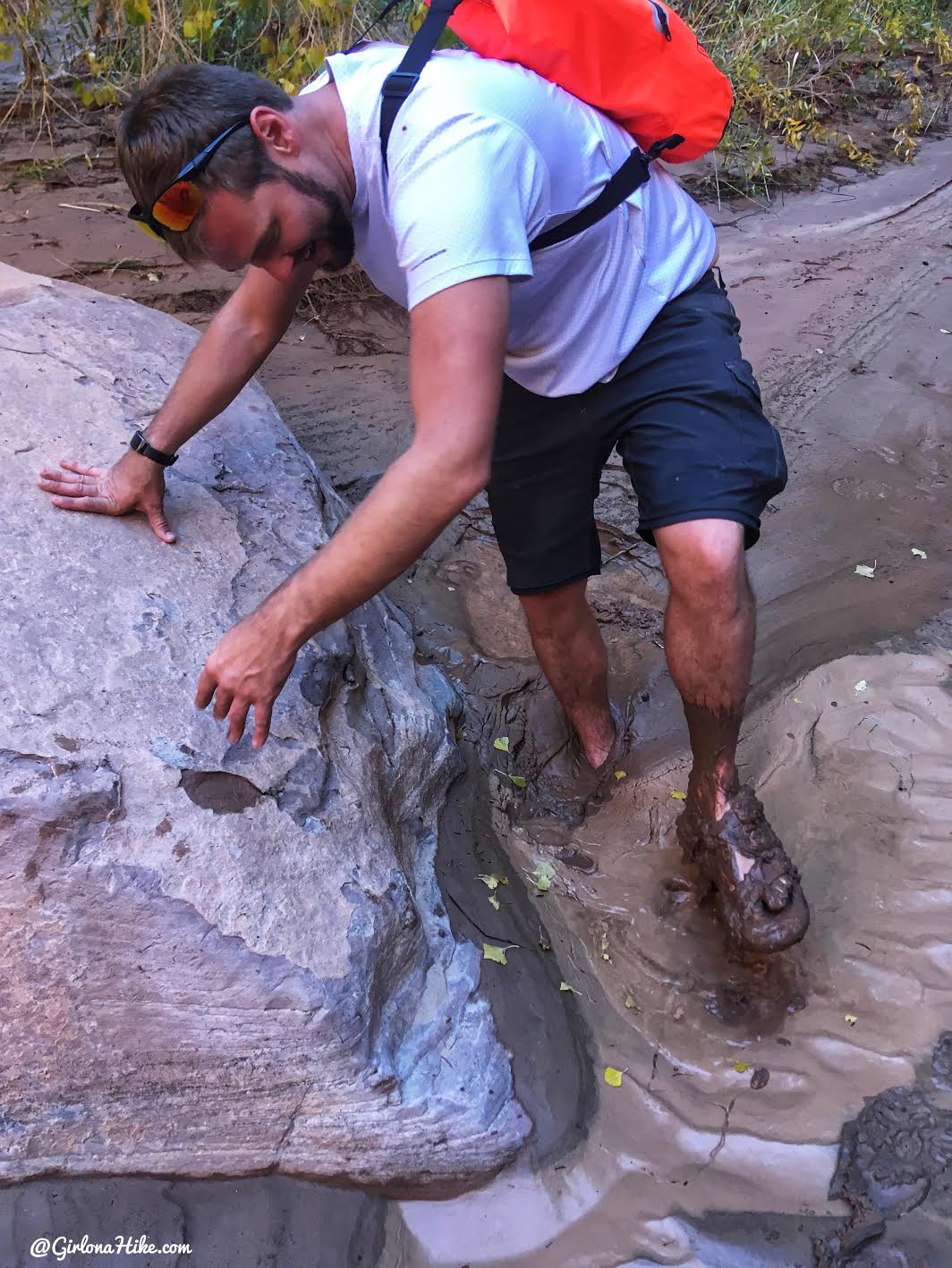
We were warned about quicksand, and it was true. Take one step in the wrong direction, and your feet would get stuck like cement. Mike said he wished he had better shoes than Chacos because the rocks would clump up in the sandals, making it extra hard to get his feet out. This is always why I recommend wearing fully enclosed water shoes so they don’t let rocks in.
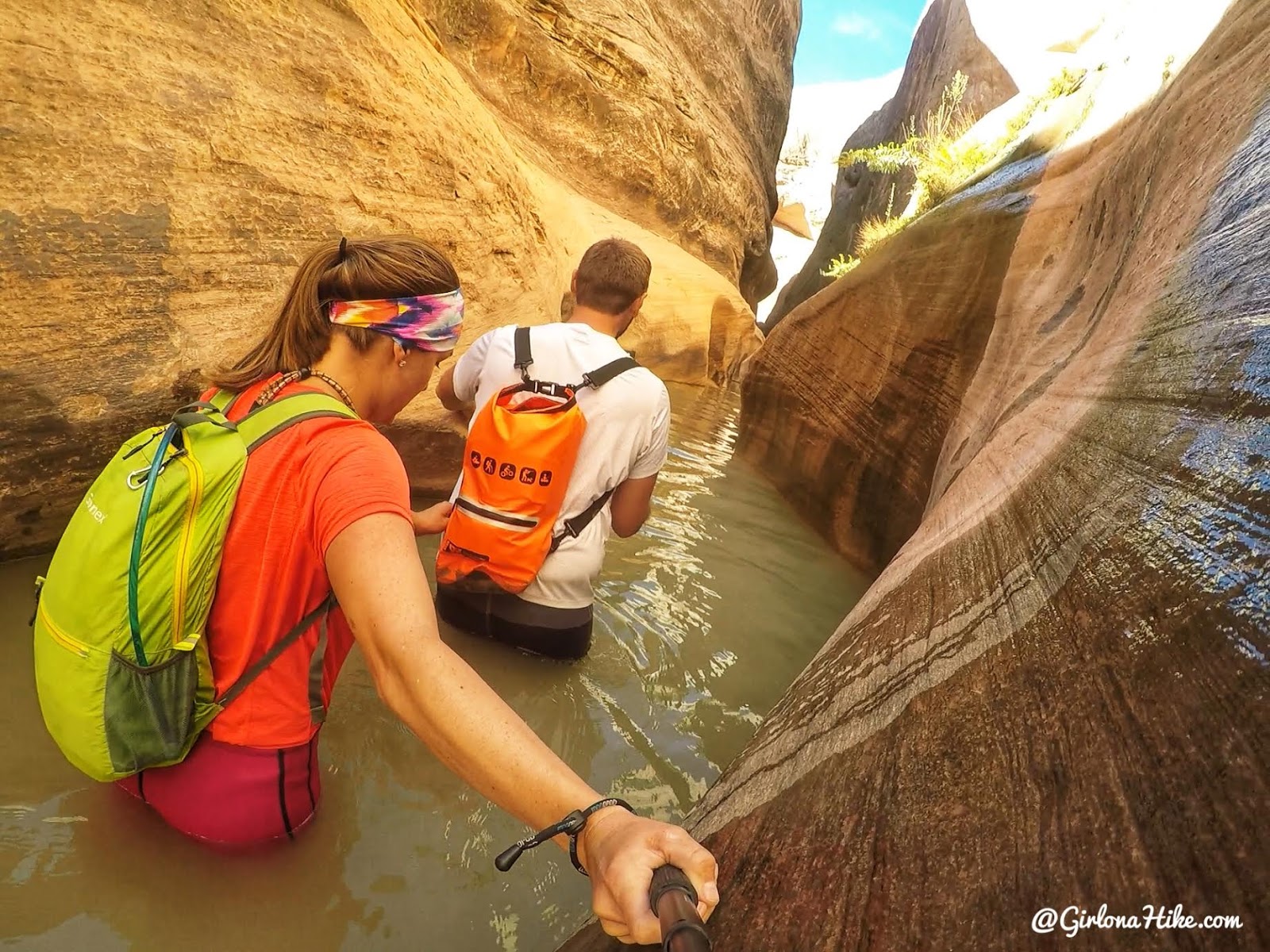
Now it was time for my worst fear – hiking though deep water. I made Mike lead the way, and held onto his pack. I’m sooo nervous in water! The water was fairly clear, but you couldn’t see where to step. That part freaks me out the most. I can climb the craziest ridges, the tallest mountains, and do big hikes – but when it comes to water I’m a baby.
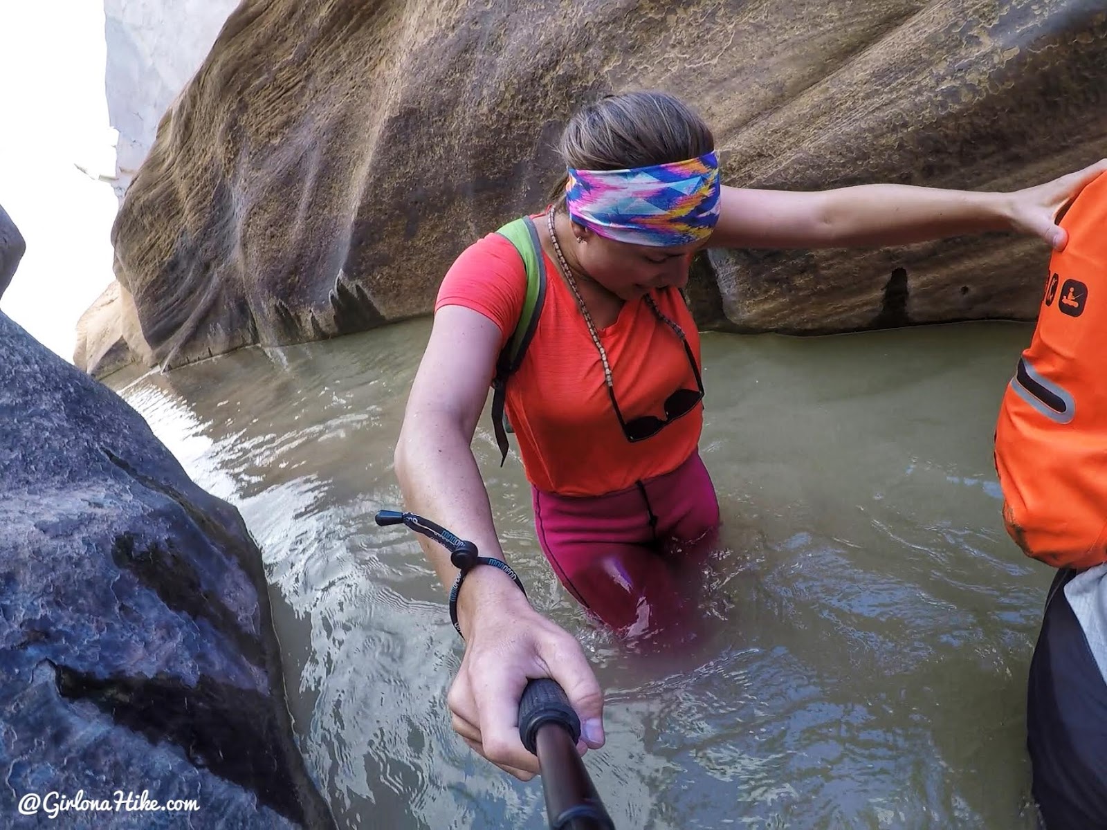
Wow that water was cold, even with neoprene on. Crotch deep is always the worst! Plus, I was starting to sink into some quicksand here. I tried to walk on my tippy toes the best I could. We made it through, and afterwards I was all smiles. I made it haha!
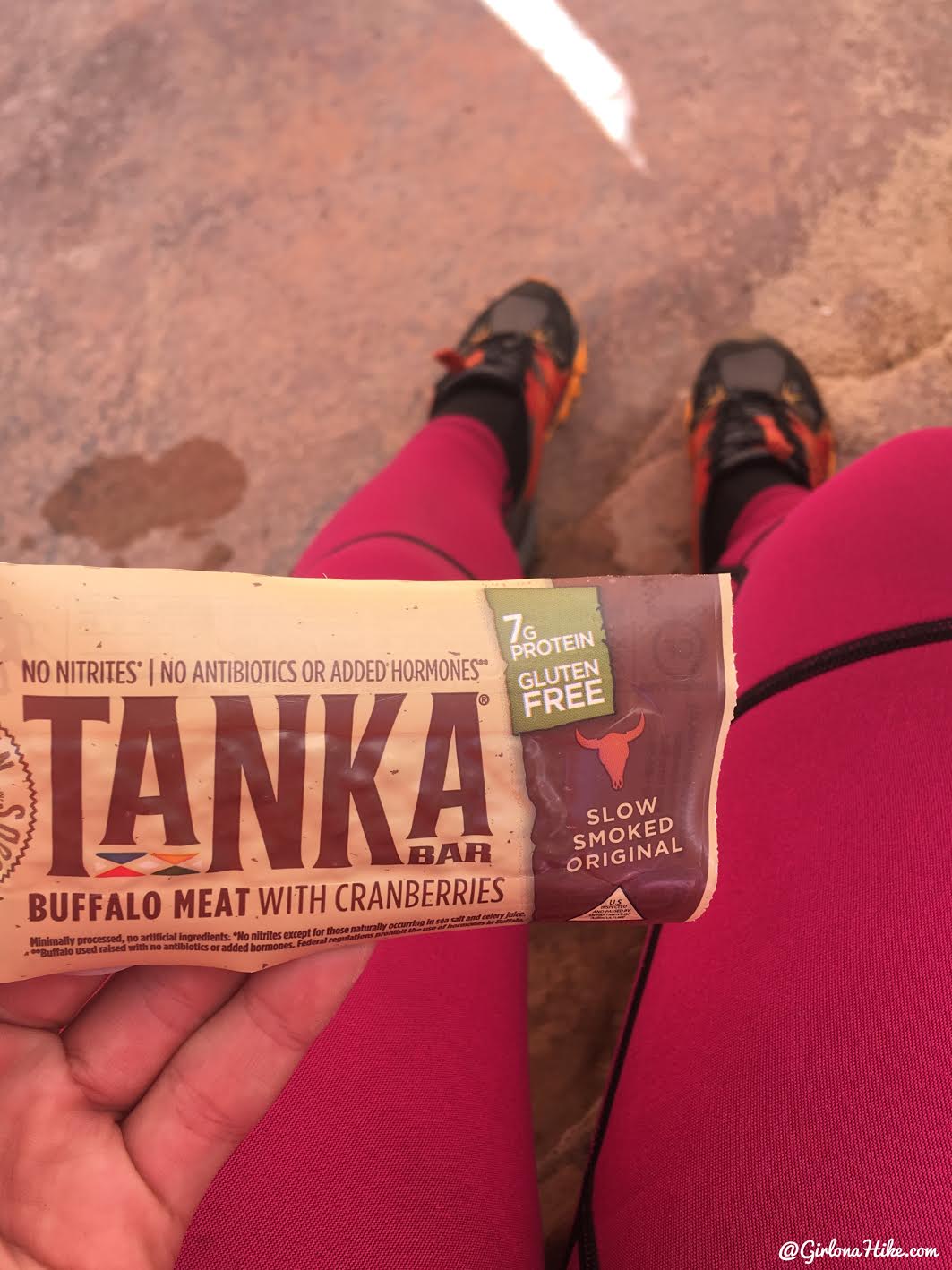
After all that stress it was time for a snack. My favorite jerky bar from REI.
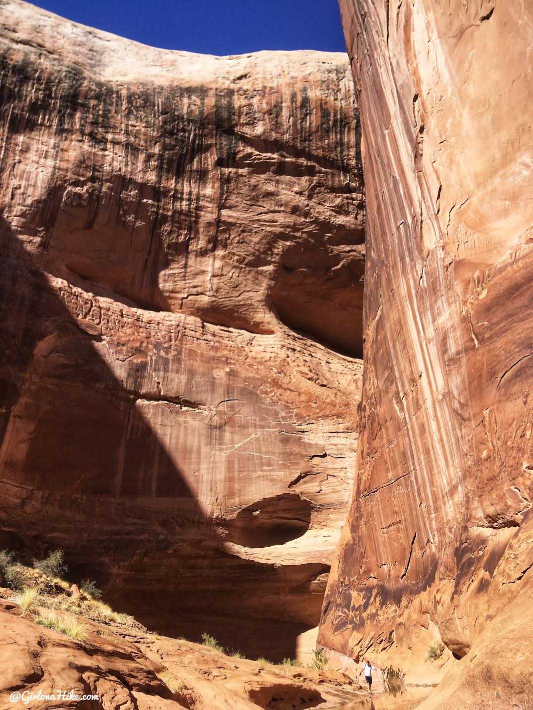
The canyon walls seem to get bigger as you continue on.
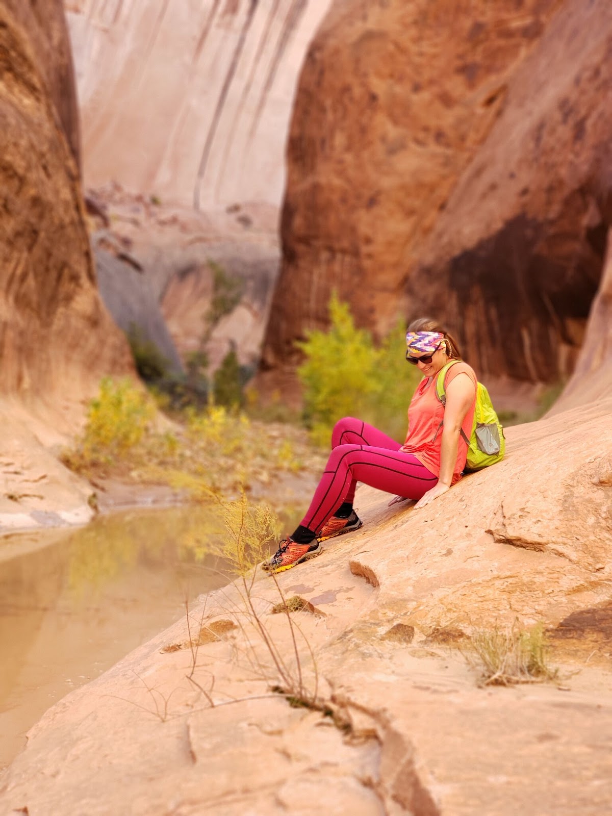
The lighting in Halls Creek offers amazing photo ops!
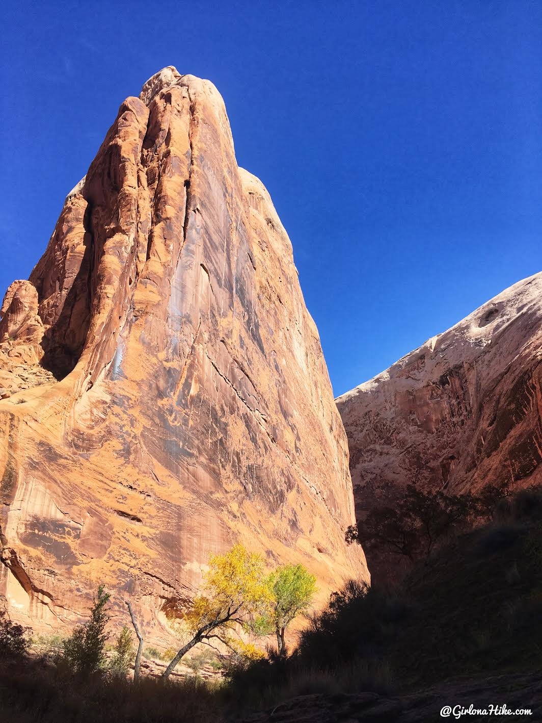
Wow!
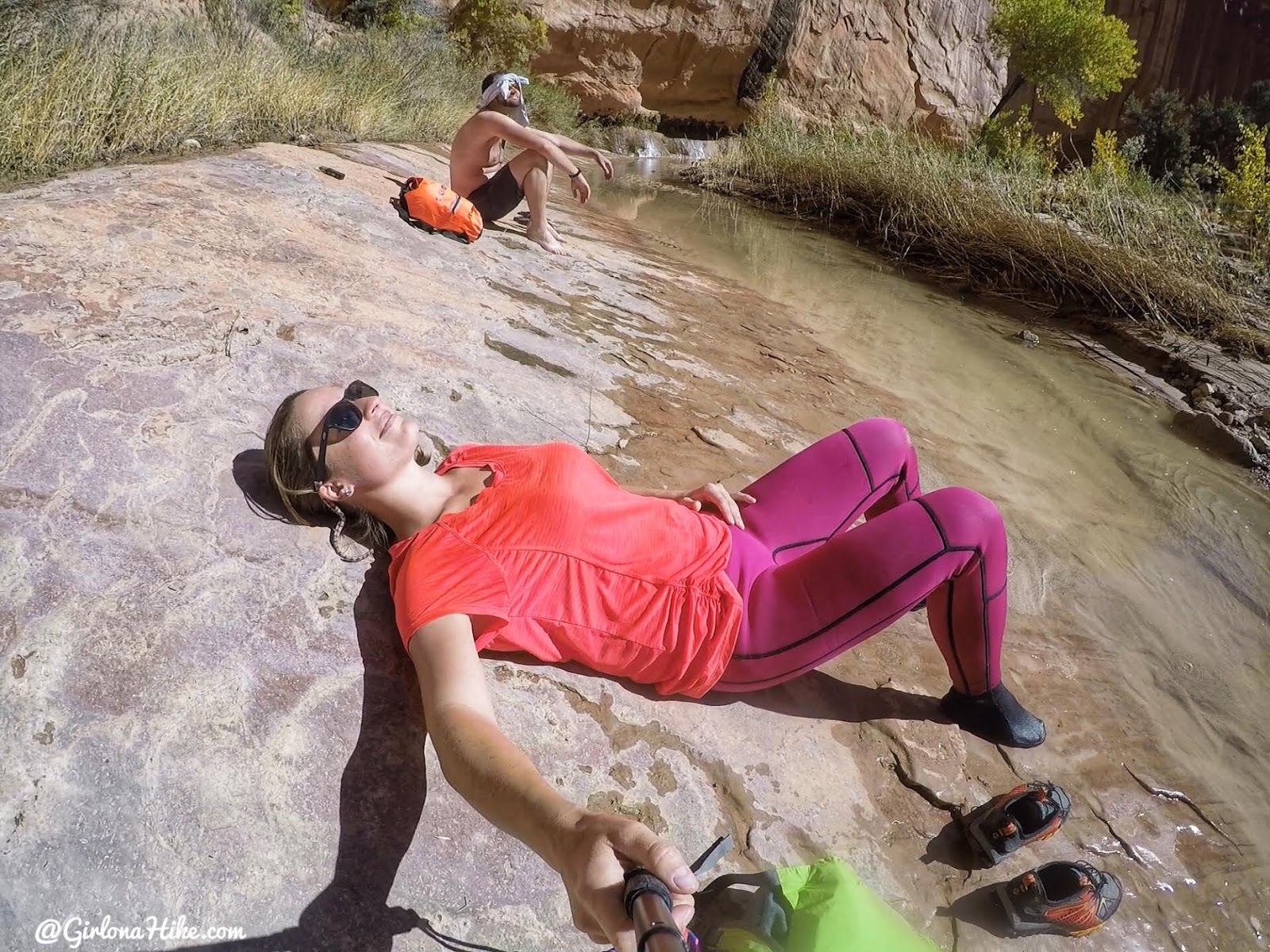
We felt like we were hiking too fast because we were so excited, so we decided to lay on this flat rock for awhile to soak up the sun and take our shoes off for a few minutes. We just tried to soak it all up.
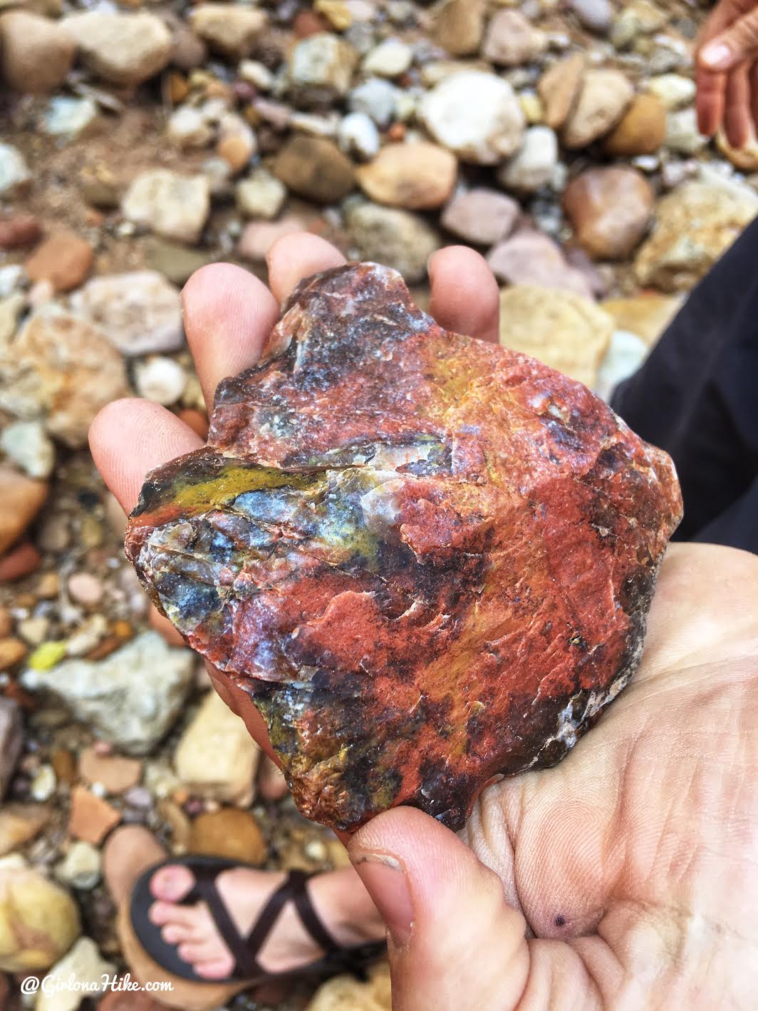
Agate rock!
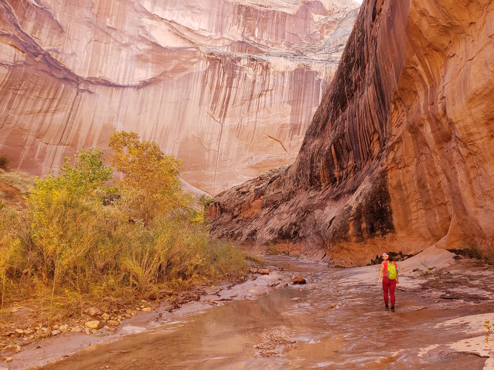
The views are endless. Most of the water was only ankle to knee deep.
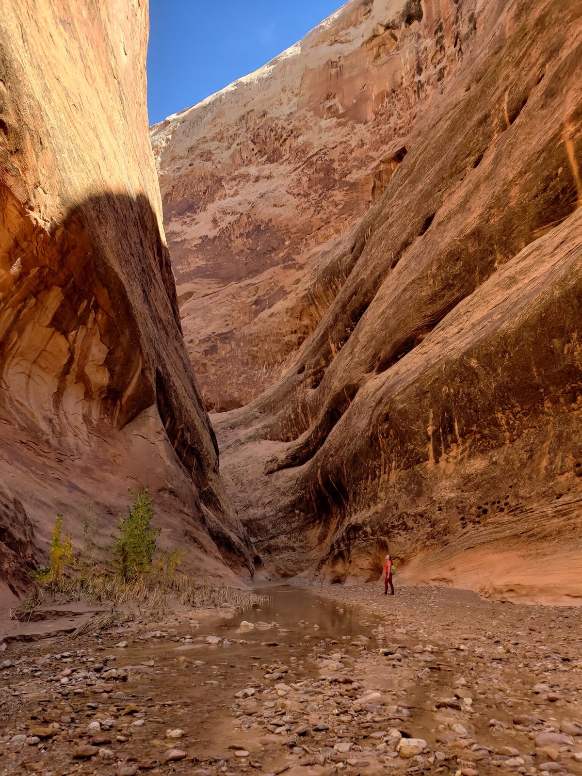
Can it get any better?
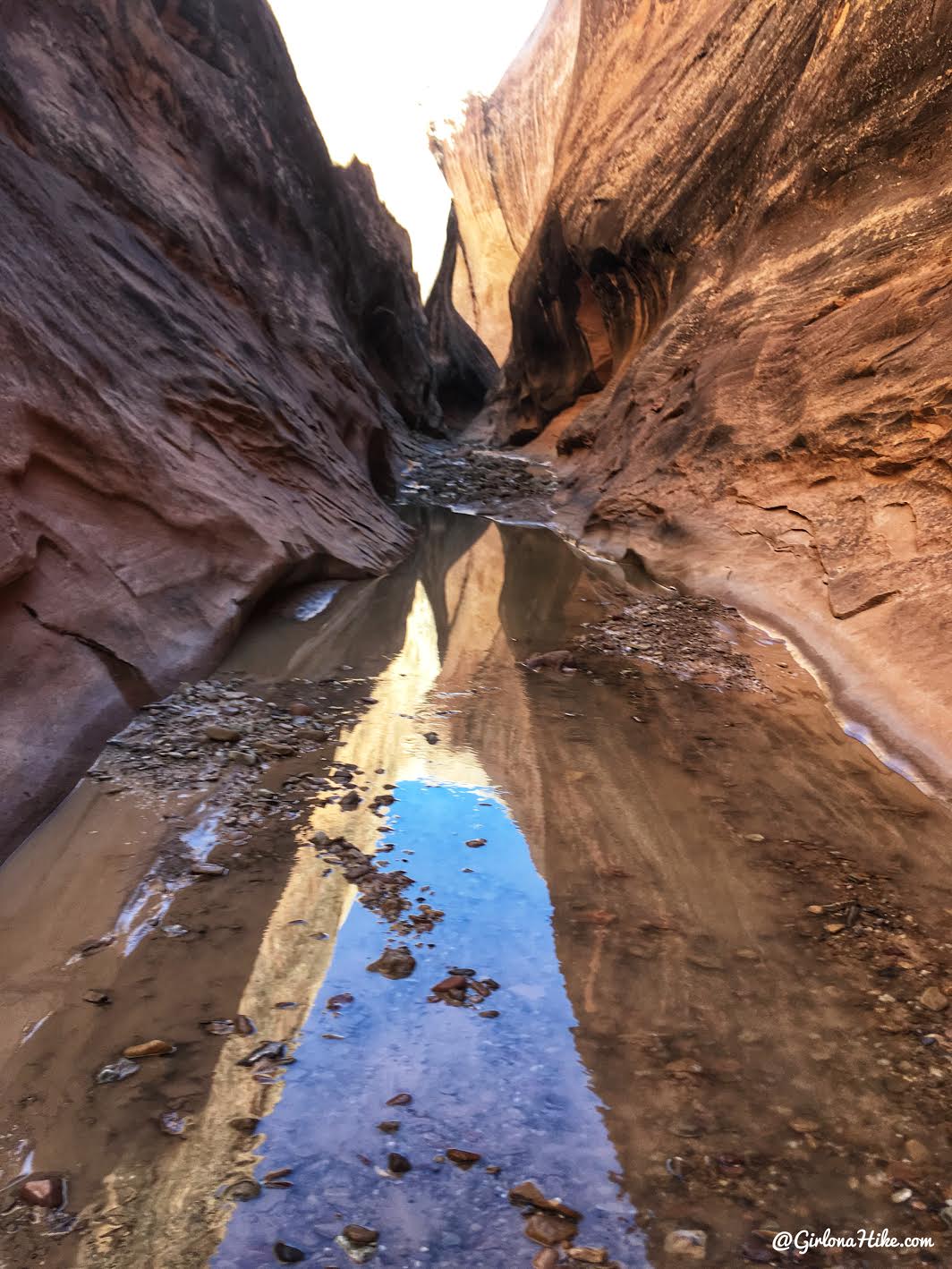
Some more narrow sections.
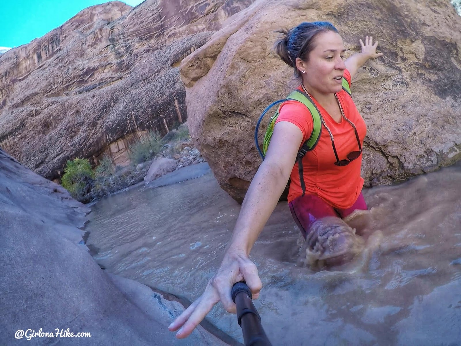
We hiked through one more hip deep section, and I lost my balance because the rock I couldn’t see under the water was very slanted. As I stepped up and over, I slid down and banged up against the rock behind me. GoPro action shot!
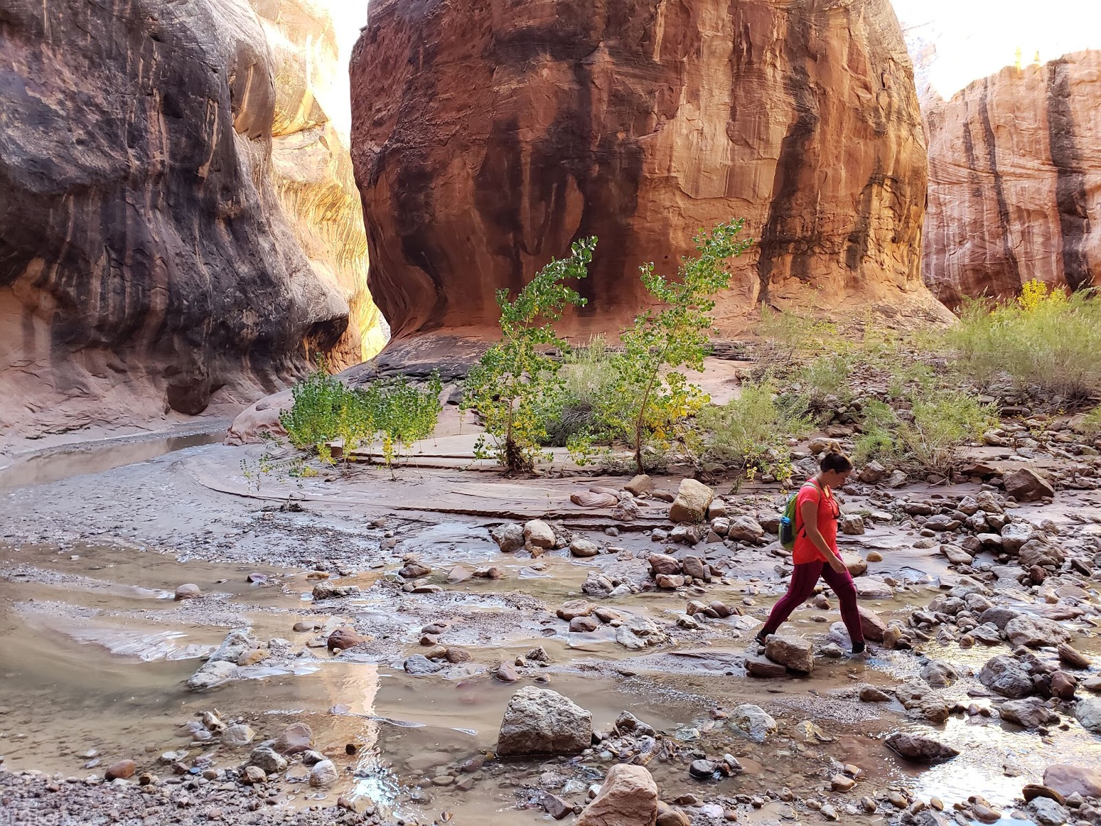
Endless canyon curves. Amazing that water carved all of this.
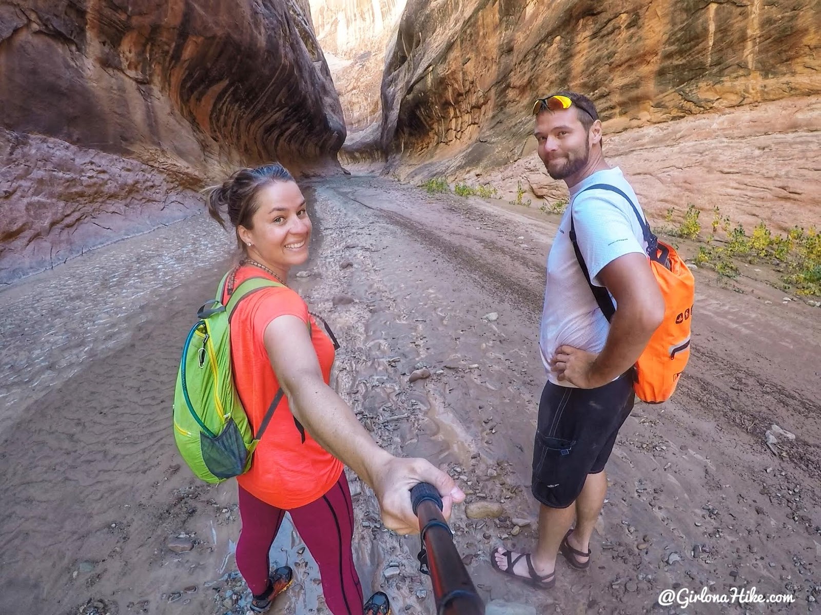
Entering “the subway”!
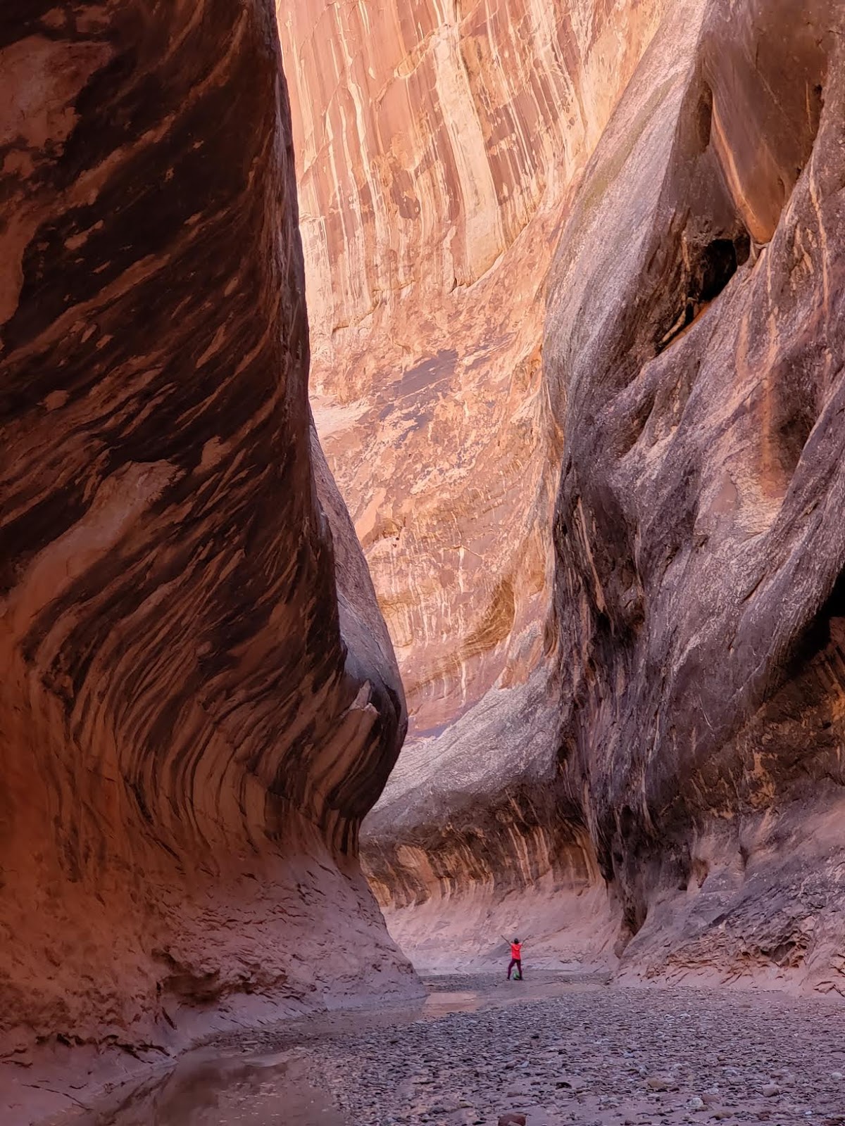
You guys. This was the most amazing canyon section of the entire route. I can’t even get over how awesome this was.
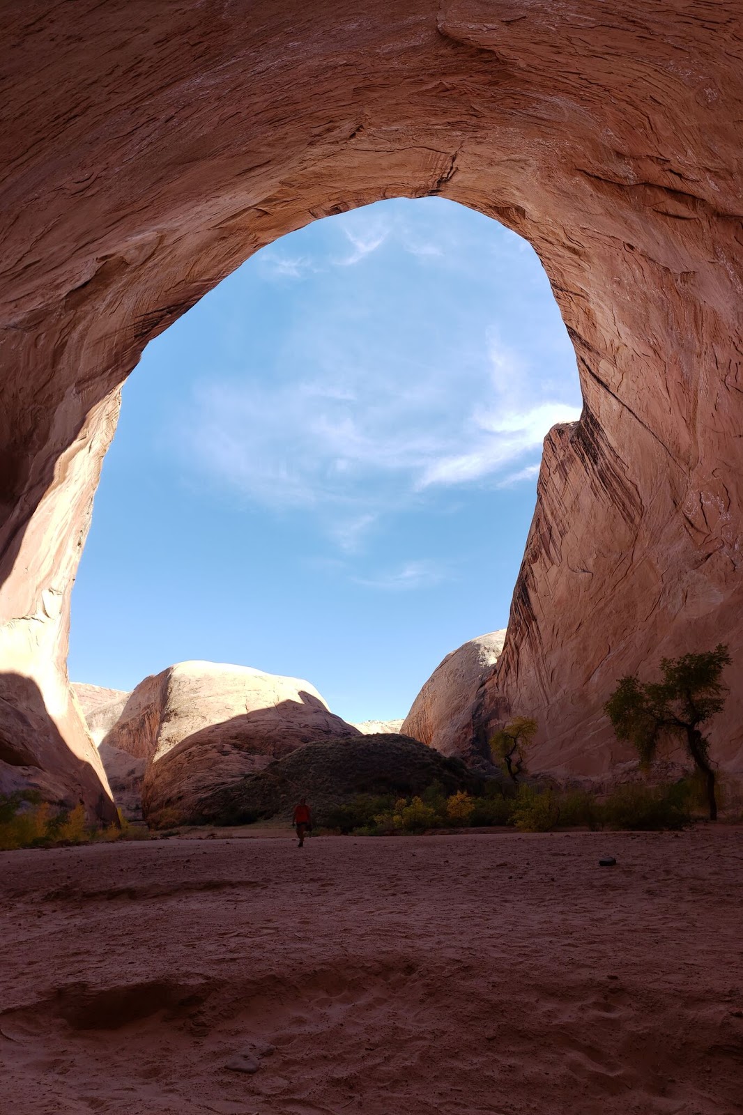
But there was still more to see – this is the famous alcove that everyone talks about here. You’ll see photos of people camping here but the rangers told us you’re not actually allowed to camp in the narrows at all. That’s why we camped near the exit, and out of the canyon.
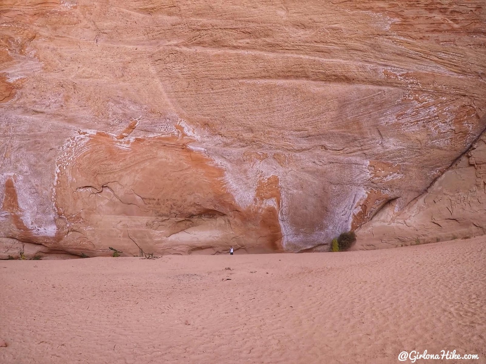
This alcove was so huge it makes Mike look like an ant on the wall.
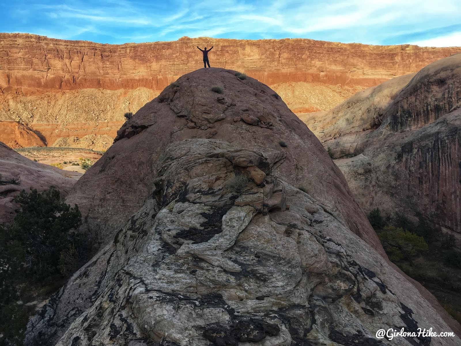
What an amazing day! We made it back to camp, once again, in time to hang out in the creek and relax. We kept talking about our favorite parts and how I freaked out in the deep water. Great memories.
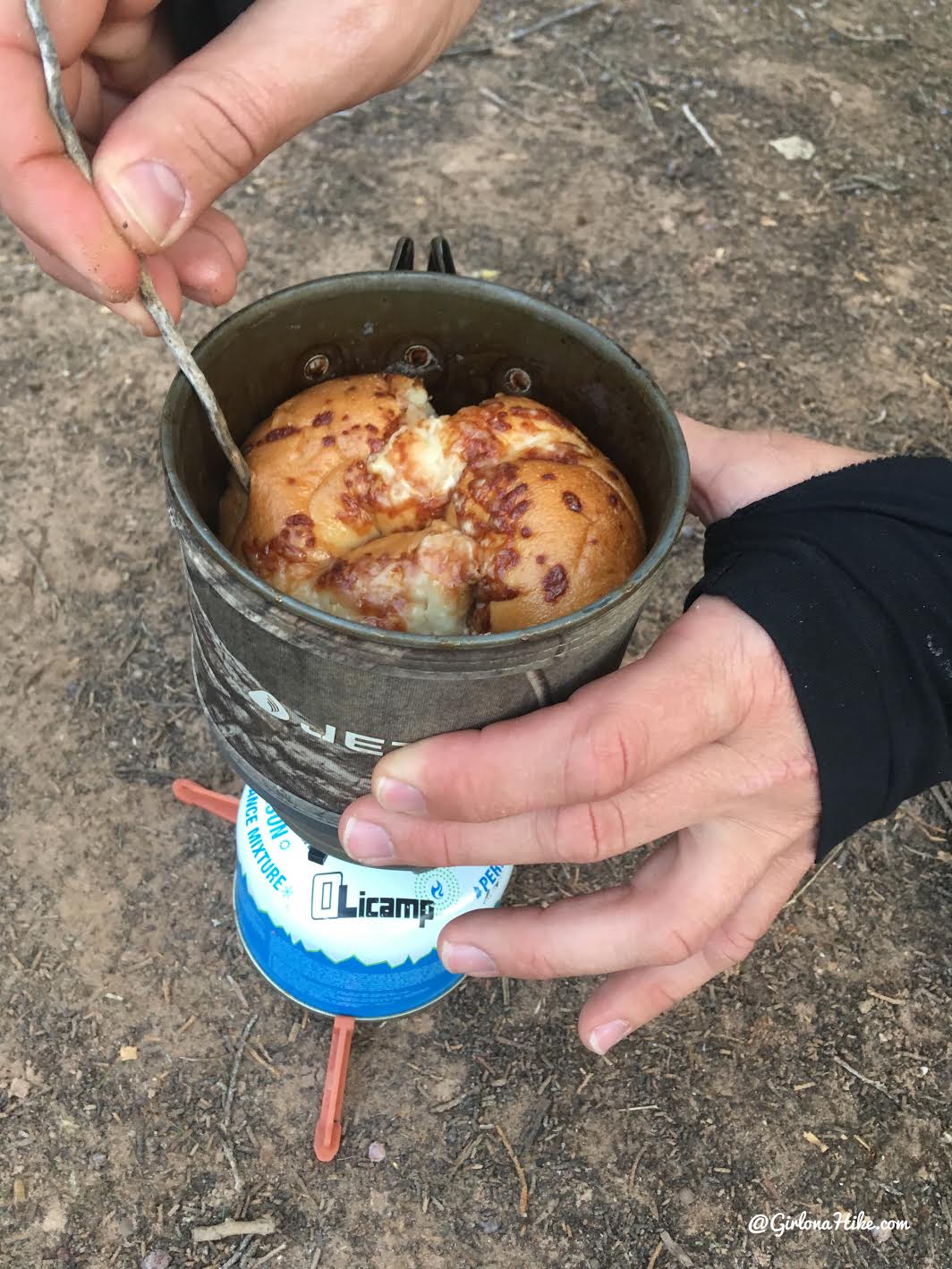
Did you know you can steam a bagel in a jet boil?! Neither did we – but we made one as an appetizer. Mike put a little water (maybe 1 inch) in the jet boil then squished the bagel into the jet boil with the lid on. He steamed it for a few minutes until it was hot, soft, and squishy. It was SO good with cream cheese, you guys!
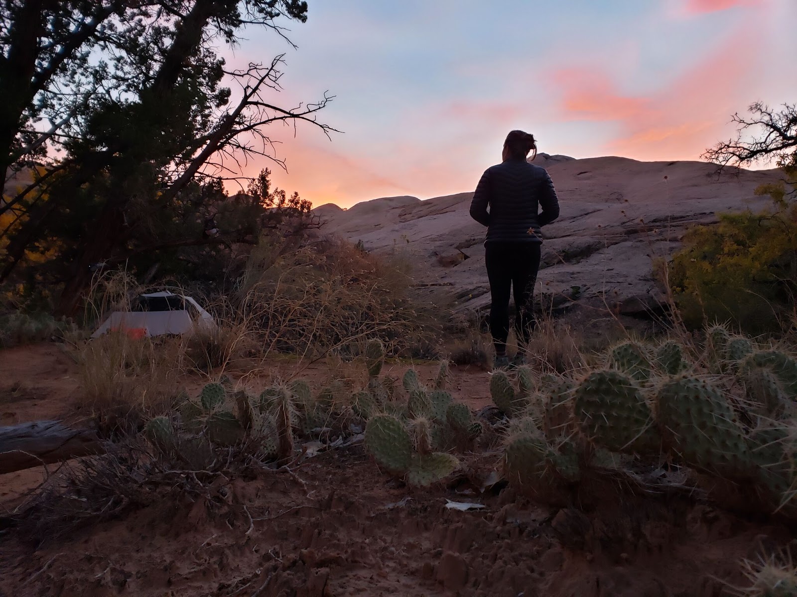
Reflecting on the day back at camp.
Day 3
Distance: 9.3 miles back to the car
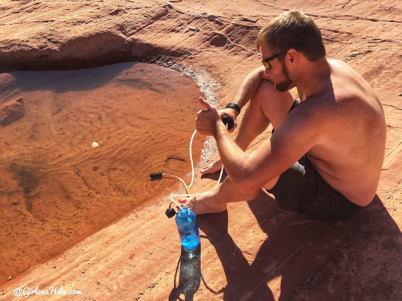
On our hike out, we started hiking by 8:30am. We had a 9 mile hike out plus a 6 hour drive home, plus an hour for grabbing a burger and milkshake. Mike quickly ran out of water, so we stopped by the Fountain Tanks for a break to refill. The Fountain Tanks are a geological feature that contain about five pools of water, typically, year-round. It’s the halfway point to the Narrows as well. We picked a pool with the clearest water, and filtered what we needed.
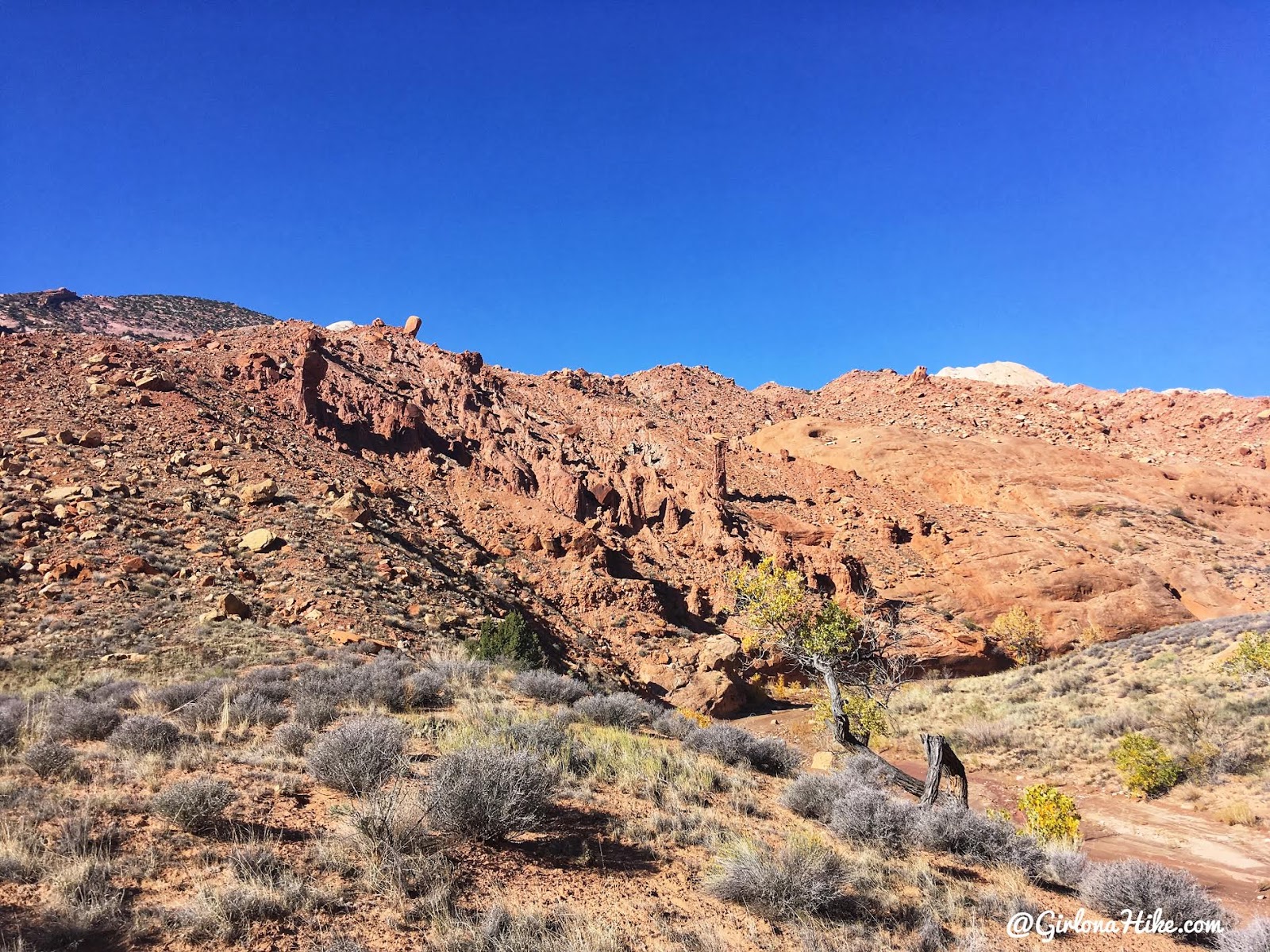
Passing by the Red Slide again. It’s another geological feature with hoodoos and stands out from the rest of the area for having a deep red color.
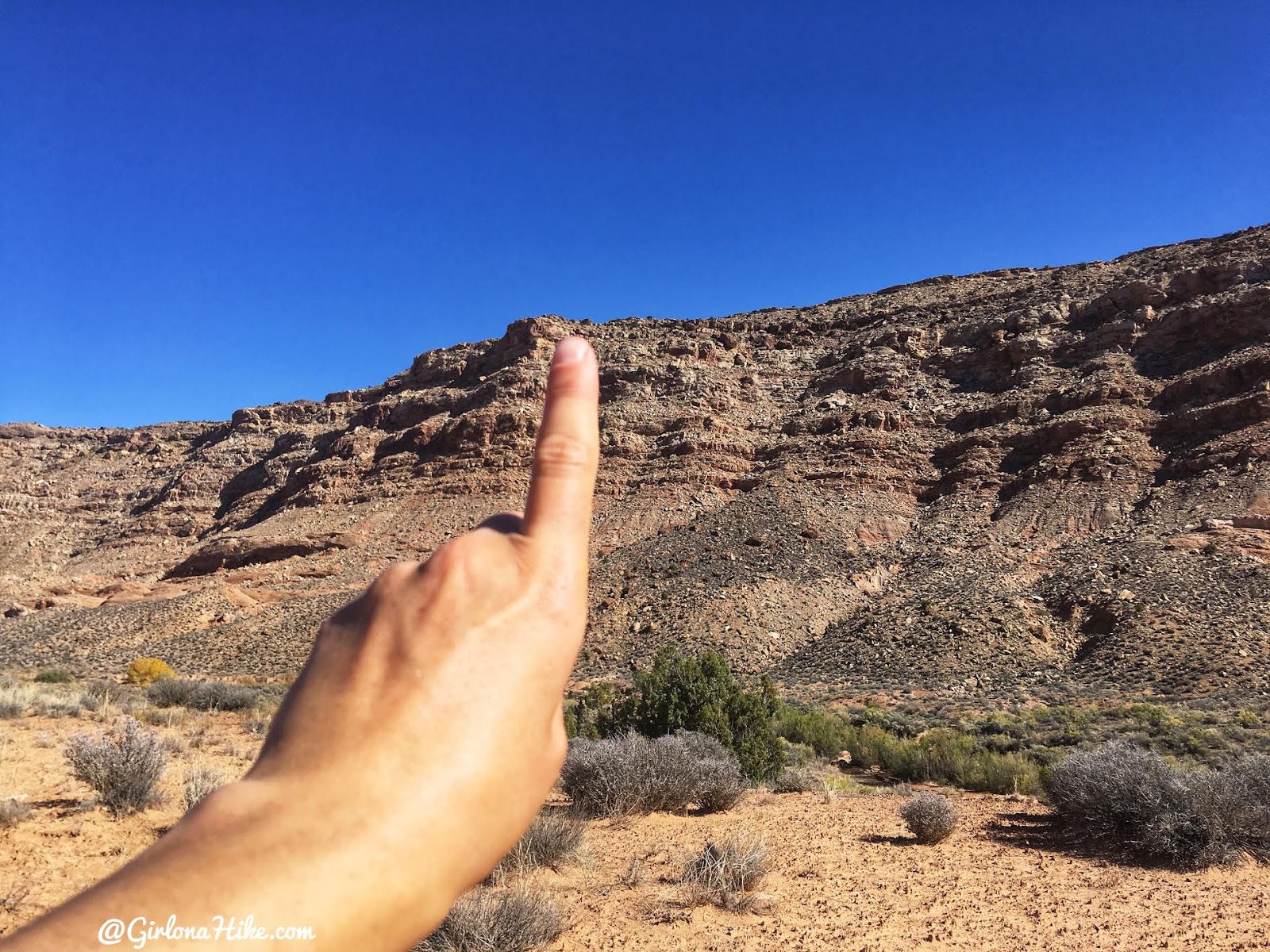
Almost back to the TH. We just had to climb back up the last mile with the most elevation gain.
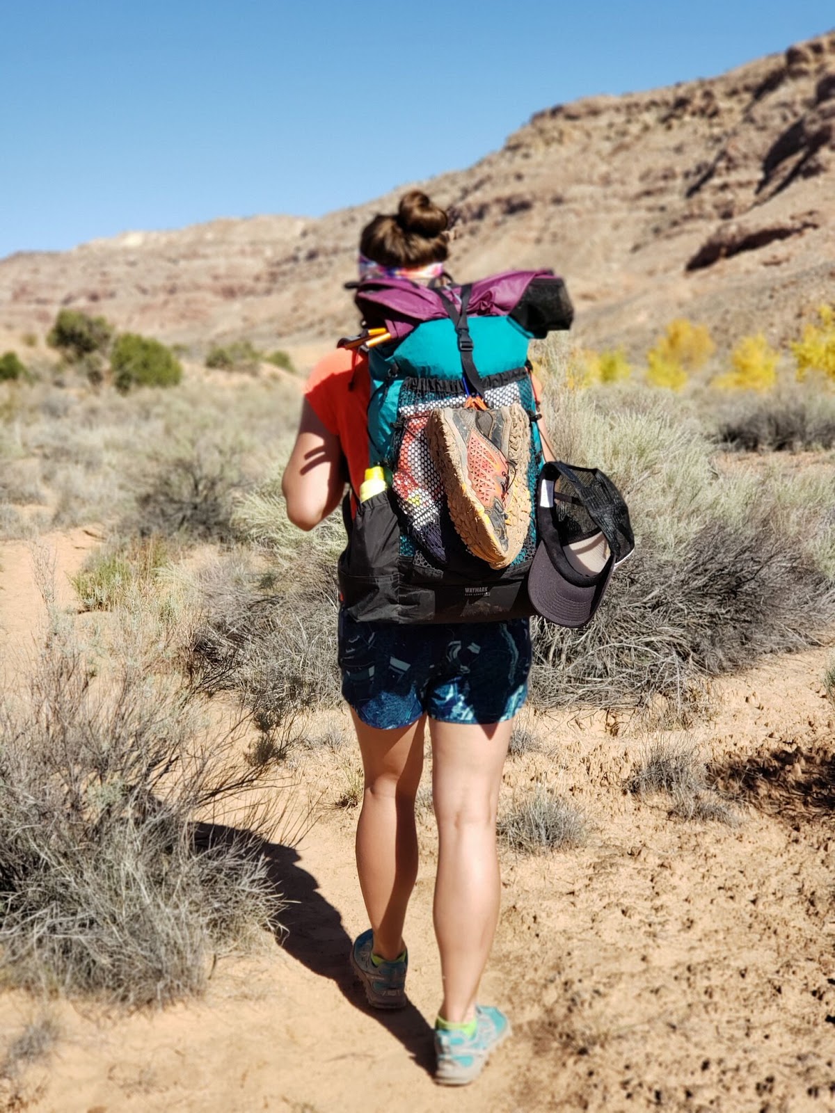
This was by far, one of my most favorite backpacking trips of the year. It was a great way to end the season! Get 10% off your entire Waymark Gear Co (the packs I used here) order, use the code “GIRLONAHIKE” at checkout here!
Trail Map
My track via Gaia GPS – the best tracking app! Get your app here for a discount.
Recommended Gear
Nearby Hike
Hiking Upper Muley Twist, Capitol Reef National Park

Save me on Pinterest!
