
Scout Falls is a waterfall located along the popular Timpooneke Trail in American Fork Canyon, which eventually leads to Mt.Timpanogos. Many people chose to only hike 1.5 miles to Scout Falls then return to their car for a short yet scenic hike. This hike is very gradual and is great for dogs off leash as well as kids.
About
The best time to hike here is June through October, when the Alpine Loop Road is open and the trail is dry. The waterfall is much higher during and after snowmelt in early Summer, but by late summer the water flow is much lower, making it fun to stand underneath the falls and cool off or get sprayed by this mist. Hiking or riding a fat tire bike in winter is also doable – read about that here! The hike is longer at 4 miles one way, however, you aren’t likely to see anyone.
Be advised that you need a timed parking reservation ticket for each day of use to enter the Timpooneke Trailhead between midnight and 1300 on all Saturdays, Sundays and Holidays between July 7 -October 15th annually. Get your timed Parking Reservation here.
Directions
From SLC, head south on I-15 and take exit 284 heading East. Take the commuter lane to avoid lights. Drive all the way into AF Canyon until you reach the “T” in the road, and turn right at the signed Timpooneke TH. Drive another 0.3 miles, and park in the large parking lot straight ahead.
Here is a Driving Map.
Trail Info
Distance: 3.2 miles RT
Elevation gain: 733 ft
Time: 1-2 hours
Dog friendly? Yes, off leash
Kid friendly? Yes, ages 6+
Fees/Permits? There is a $10 fee to enter AF Canyon. It’s FREE if you have an annual AF Canyon Pass or annual National Park Pass. No Permits are required.
Hiking to Scout Falls: What to Expect
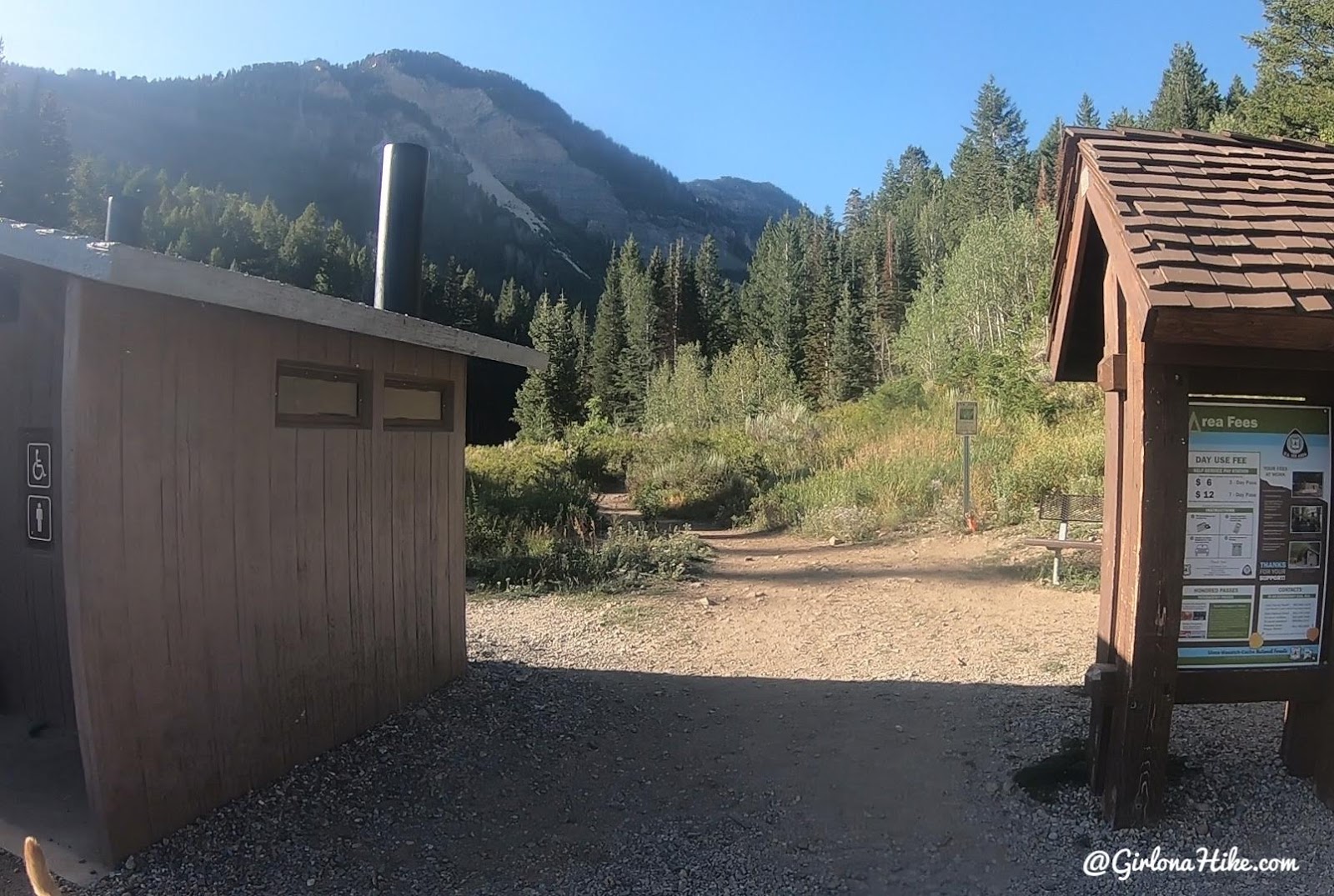
The trail starts between the sign and port-a-potty.
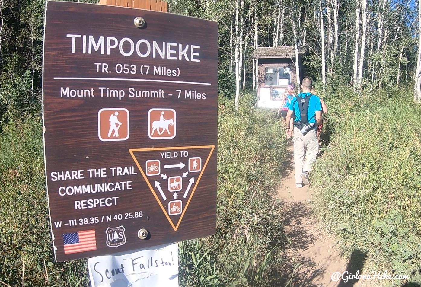
Continue Straight for the Timp Trail. Scout Falls is only 1.5 miles.
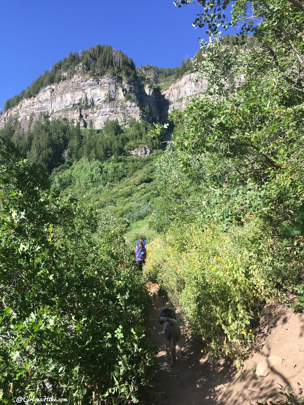
The trail is very easy to follow and gradually gains elevation.
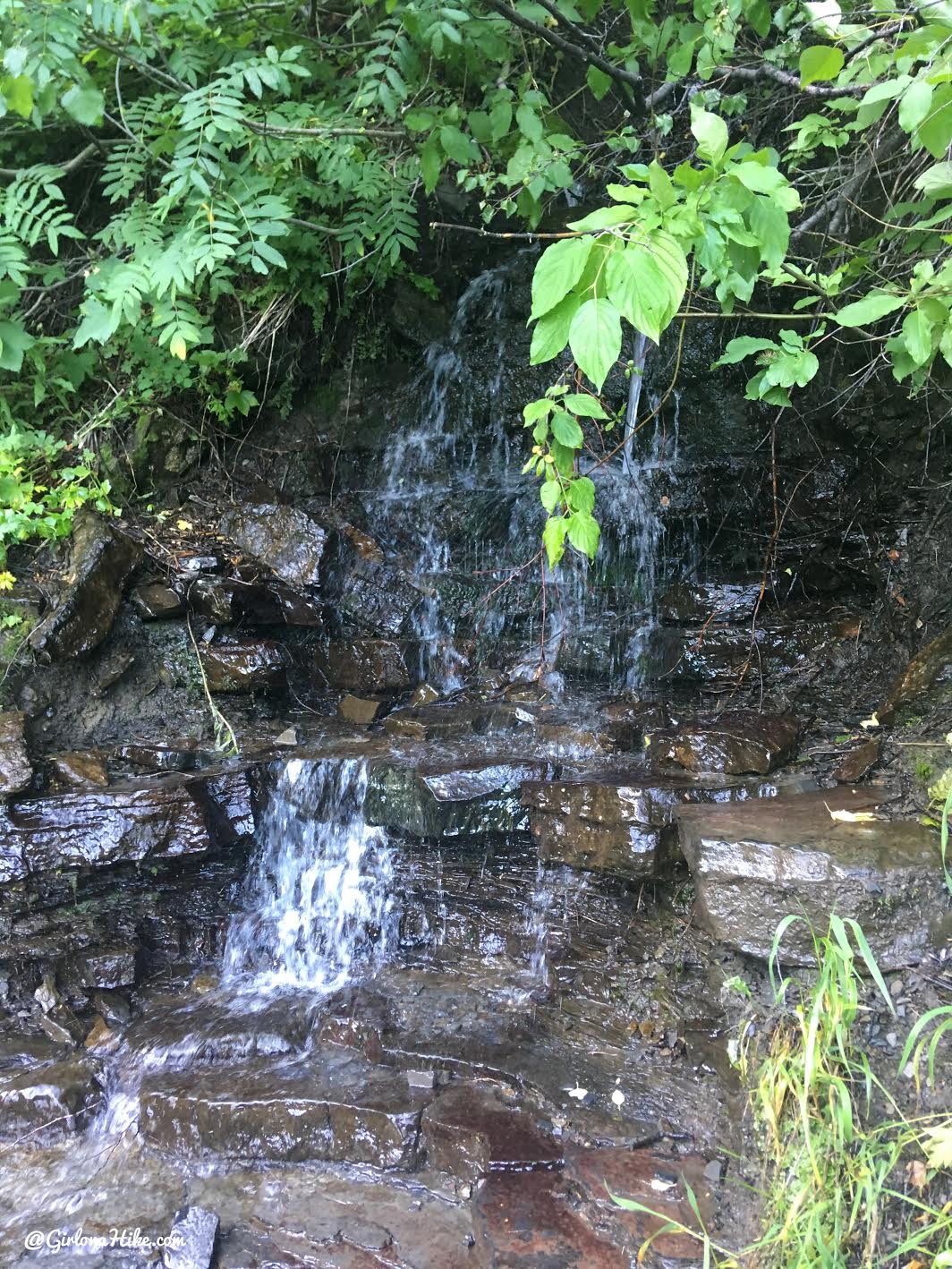
Even in late August water is available from streams. Perfect for the dogs to drink from!
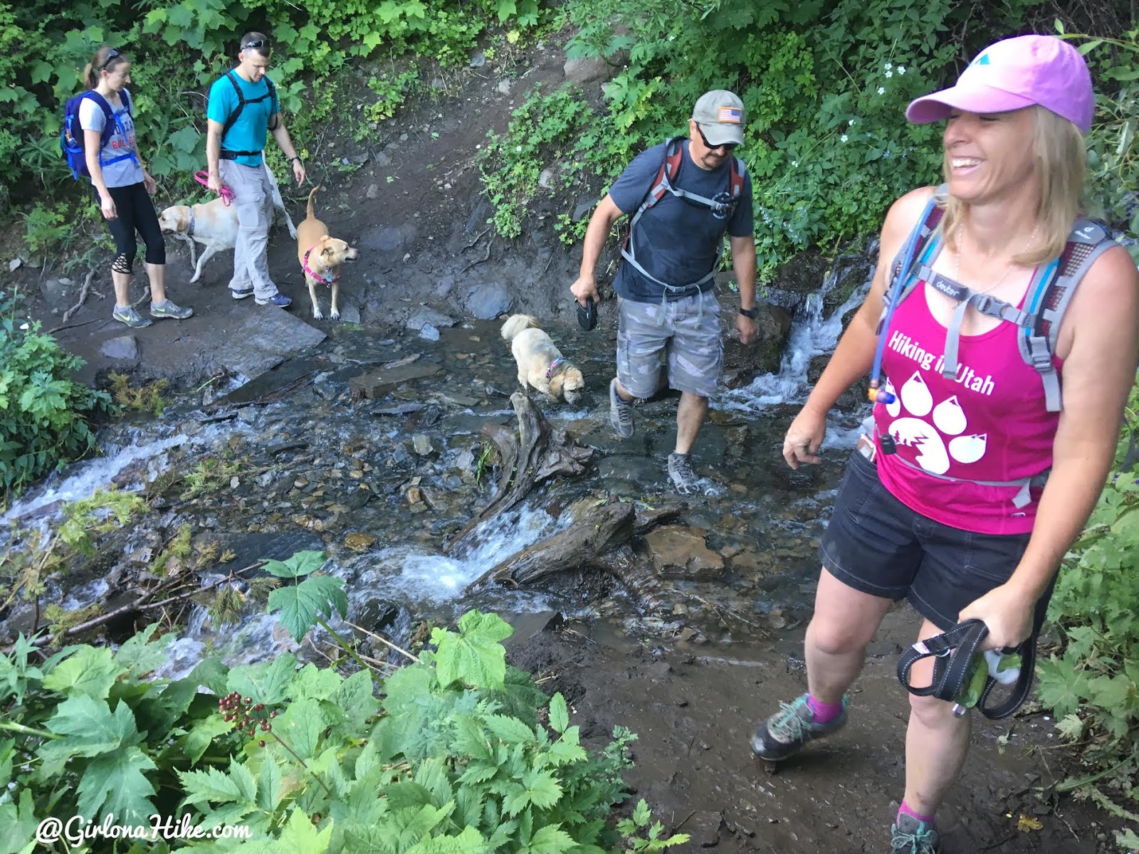
Crossing more streams.
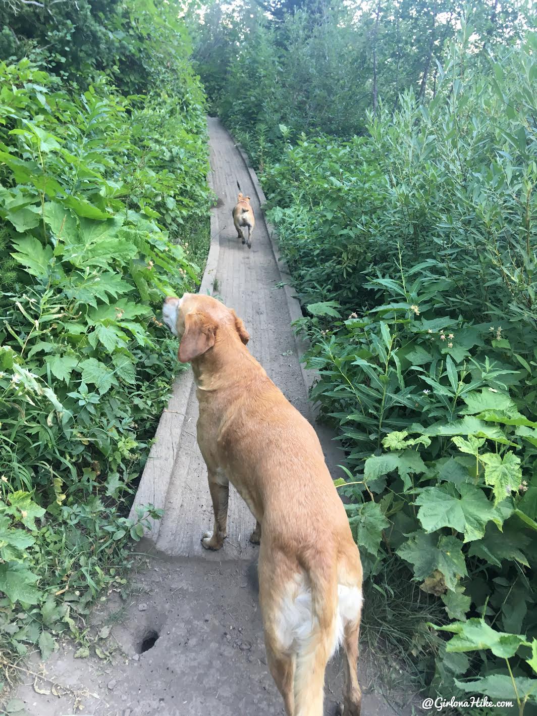
Around 1.2 miles you will walk across this small boardwalk.
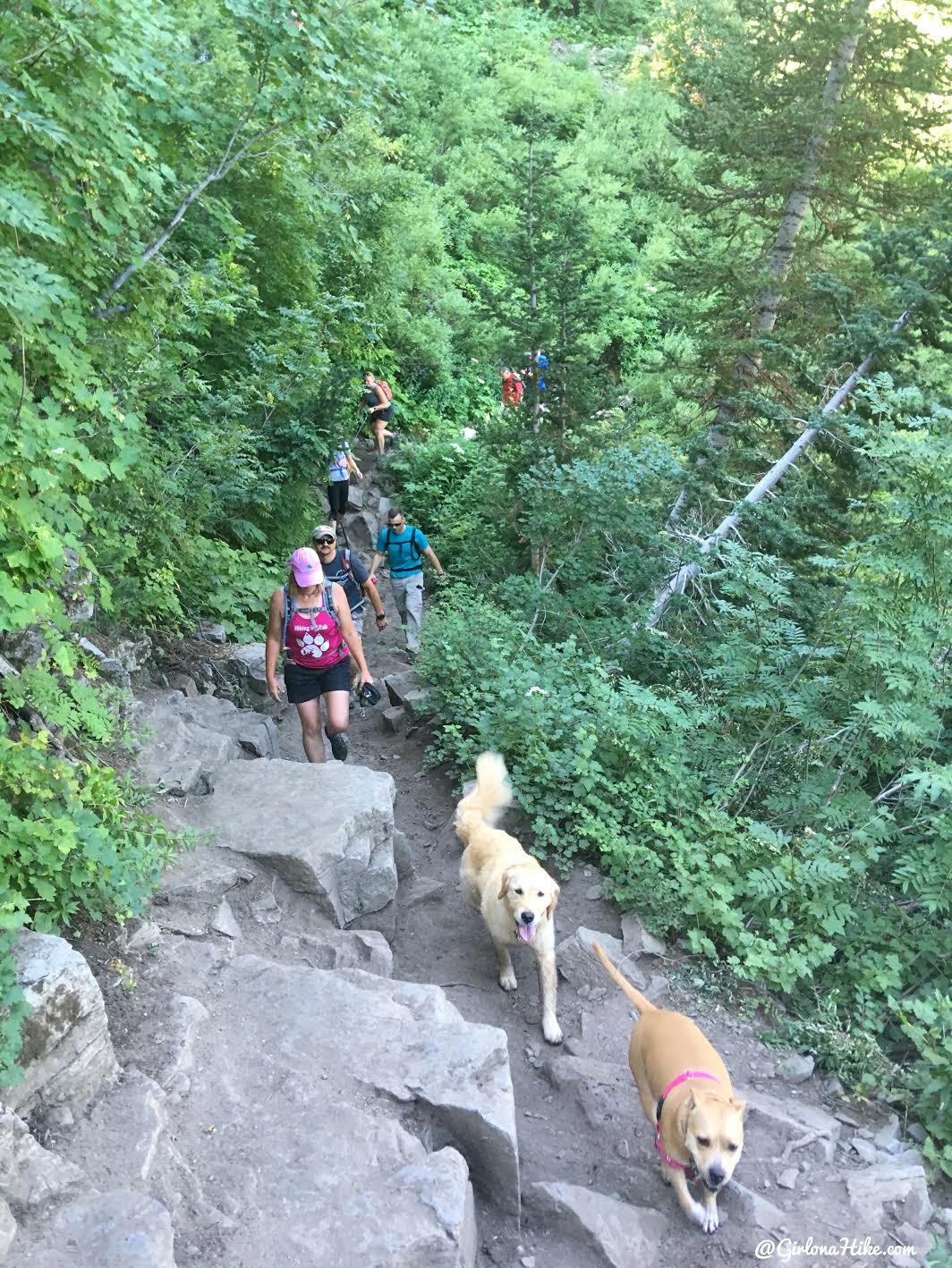
At exactly 1.5 miles, the trail split off to the left. It’s not signed but this is the turn-off for Scout Falls.
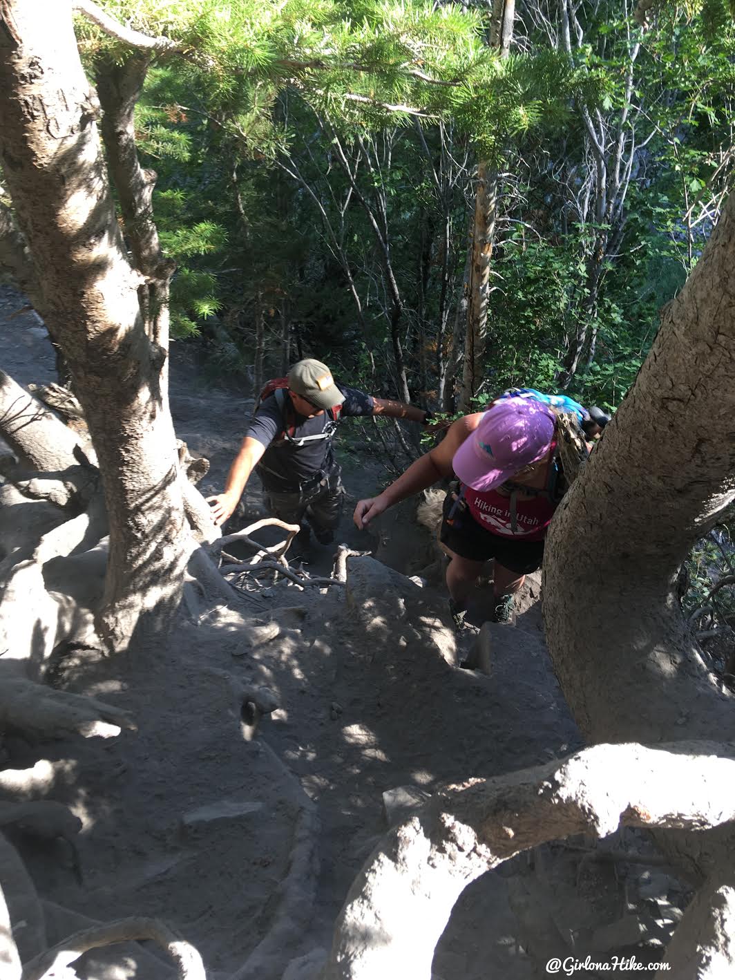
Hike up on small steep section over exposed roots.
Reaching Scout Falls
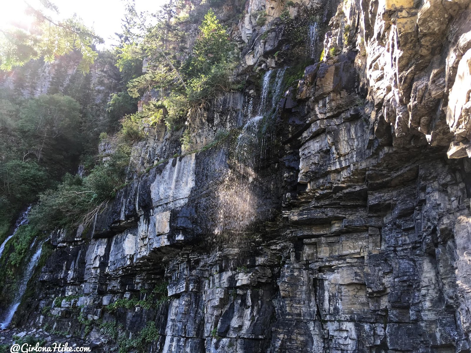
Arriving to Scout Falls!
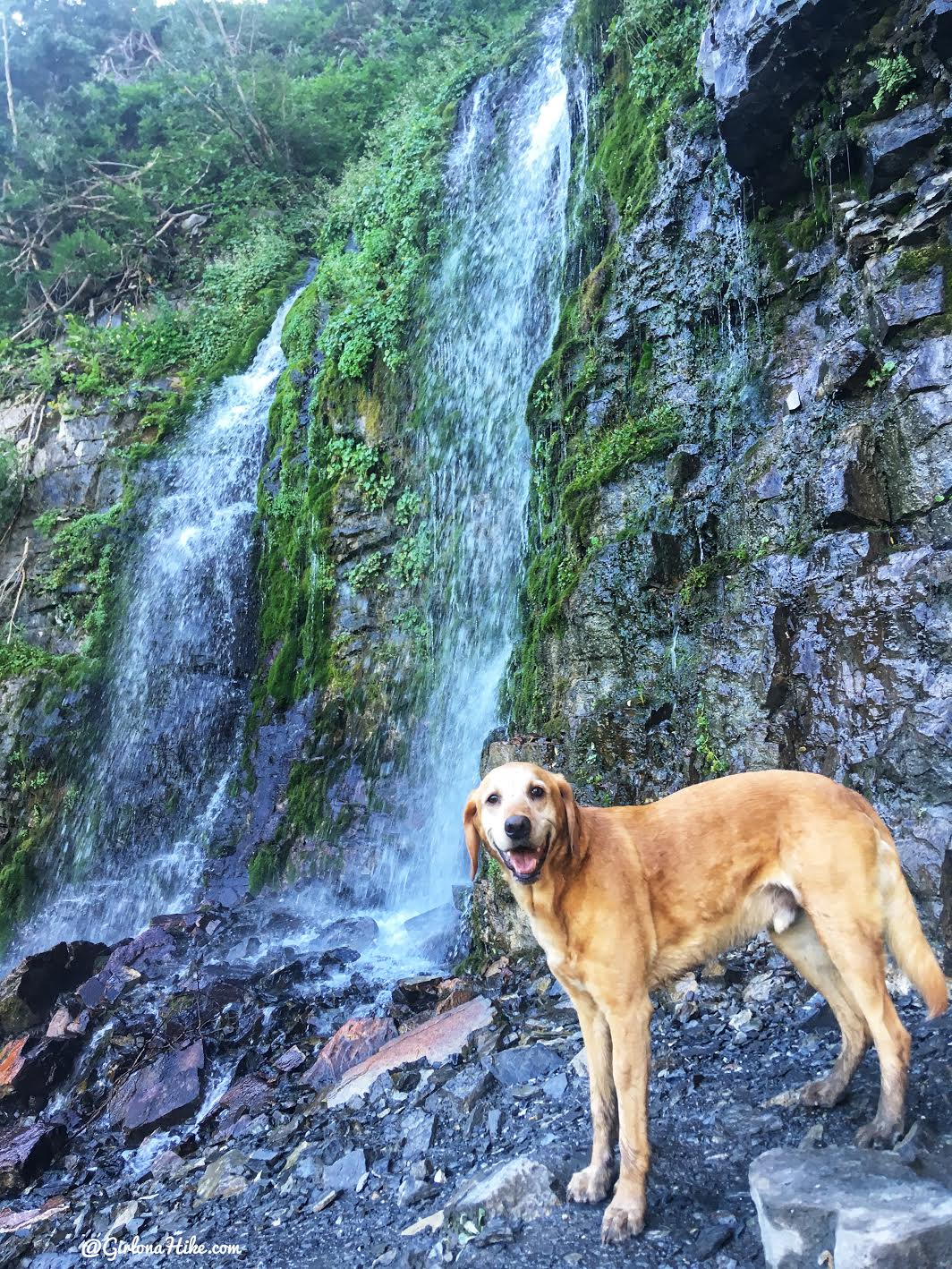
Charlie poses at the smaller waterfall.
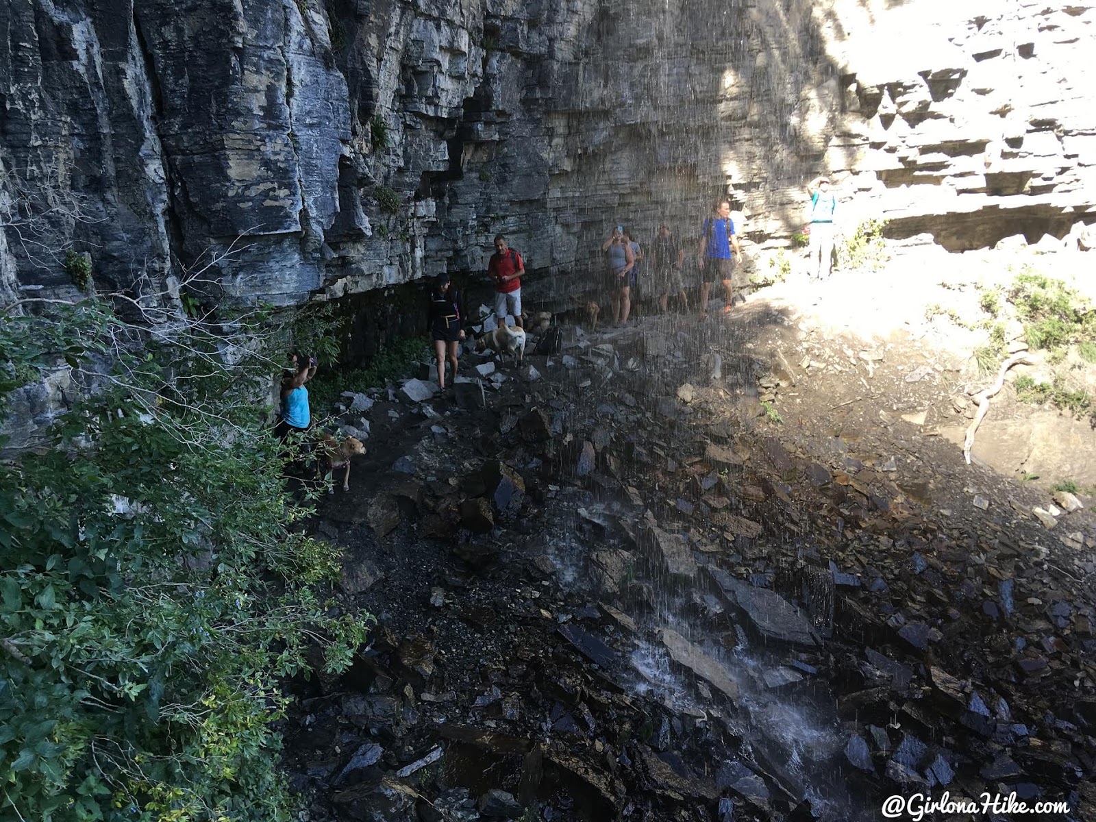
Walking under the larger waterfall is easy during low water flow, but can be dangerous during Spring and is not advised. The rocks can get slippery so just be careful.
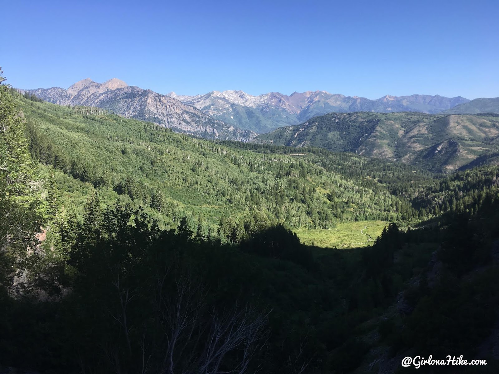
What a view! This was taken right at Scout Falls looking North to the Little Cottonwood Canyon ridge.

All three Charlie’s in one car – “Big” Charlie, My “old” Charlie, and “Little” Charlie! They’re besties!
Trail Map
My track via Gaia GPS – the best tracking app! Get your app here for a discount.
Nearby Hike
Hiking to Scout Falls – In Winter!

Save me on Pinterest!
