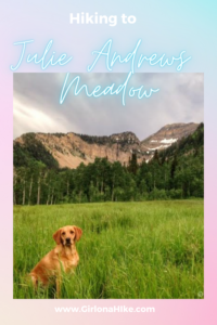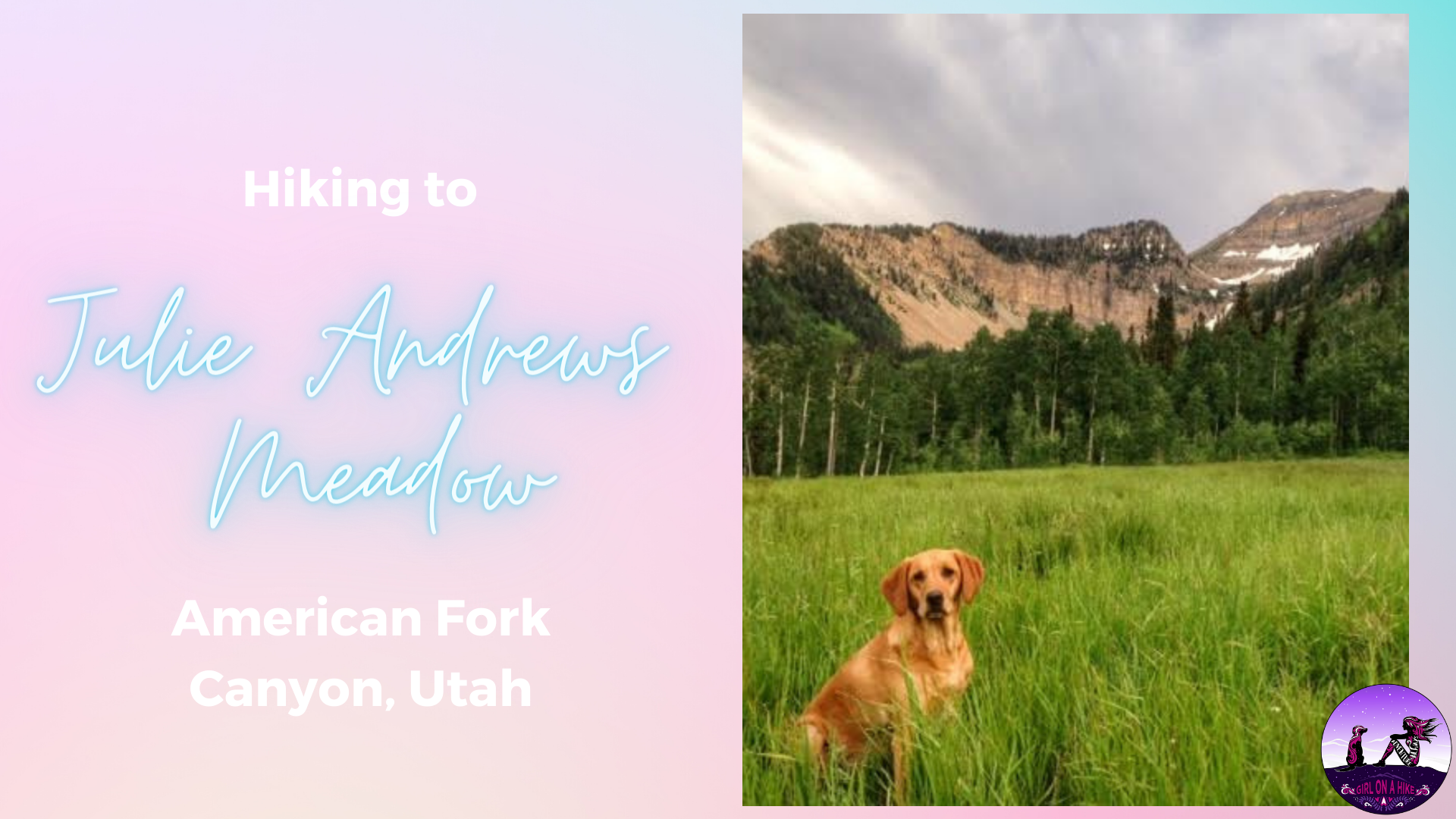
Julie Andrews Meadow is located in American Fork Canyon, along the Timpooneke-Chris’ Flat Trail (#151). Early summer is the best time to hike here, as the field is as alive as Mrs. Julie Andrews was in the movie, The Sound of Music.
The grass is green, the wildflowers are blooming, and snow is scattered along the northern end of the Timpanogos ridge. The views are endless – to the North is the Little Cottonwood Ridgeline, to the East is Heber Valley, and to the West is Utah County. Anywhere you turn, it makes you want to spin around with arms wide open to take in the surroundings. Grab the whole family and turn this into a picnic hike, or a quick overnight backpacking adventure.
Directions
From SLC head south on I-15, and take exit 284 towards the Timpanogos Cave National Monument. Drive all the way up AF Canyon, past the cave, and up the narrow, winding road. Follow the signs for Timpooneke Campground and TH. Parking the large Timpooneke Trailhead lot, where there are restrooms. This is where the hike begins for Julie Andrews Meadow.
Trail Info
Distance: 3.5 miles RT
Elevation gain: 960 ft
Time: 2-3 hours
Dog friendly? Yes, off leash. When you first walk up the road the dogs have to be leashed. Once on the trail they can be off leash.
Kid friendly? Yes!
Fees/Permits? There is a $10 fee to enter AF Canyon. It’s FREE if you have an annual AF Canyon Pass or annual National Park Pass. No Permits are required.
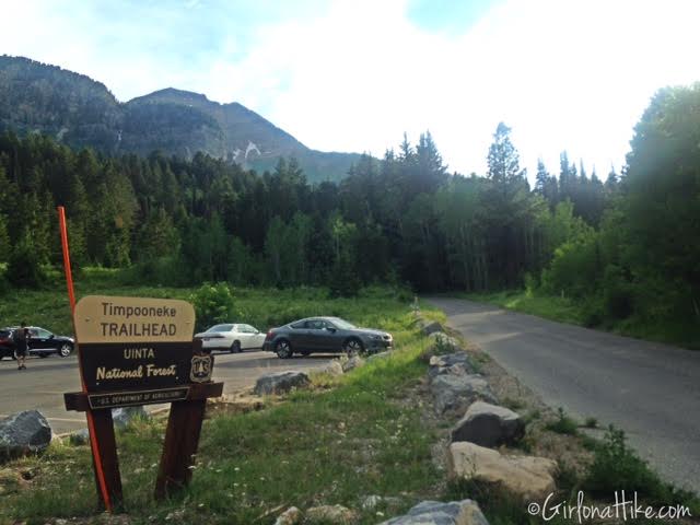
Park at the Timpooneke TH, and begin walking up the paved road. Dogs must be leashed while on the road.
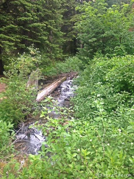
Pass the small stream on your left. This is a good quick stop for the dogs to get a drink.
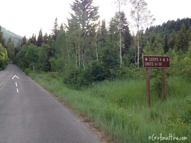
Continue walking up the road past this sign for Loops A & B. At the next brown sign, which is the road for the Timpooneke Campground, turn right.
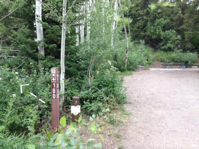
As you walk into the Timpooneke Campground, pass the first campsite on your left, then look for the small brown post marked with an arrow and 180, which is also at Campsite #7. Turn left here. Cut through the woods for about 30 yards.
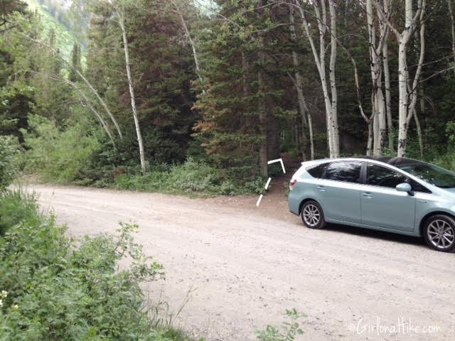
You’ll cross another dirt road. Follow the trail on the other side, which then cuts through a forested area with tall grass. This is where you can begin having dogs off leash, now that you aren’t in the way of cars or dirt bikes.
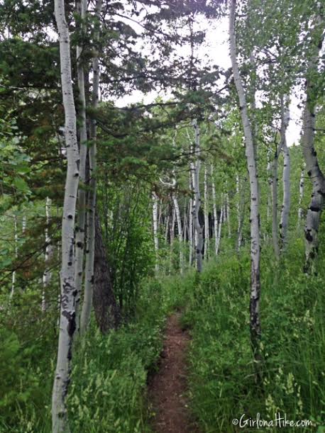
Lots of pine trees with shade.

At the first trail split sign, veer right and go up the hill and two small switchbacks.
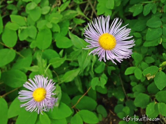
Eastern Daisy Fleabane – Erigeron annus
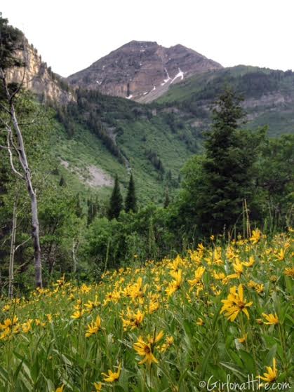
The first open area of the trail to your left will give you fantastic views of the northern end of Timpanogos.
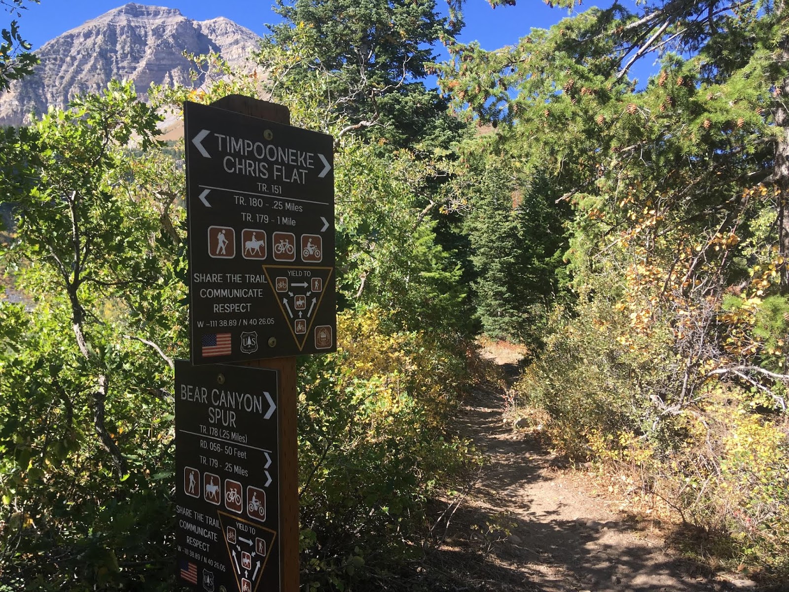
At the 2nd trail split, turn left and work your way up the ridgeline. This area can be very windy, since the wind cuts in between two large, deep canyons.
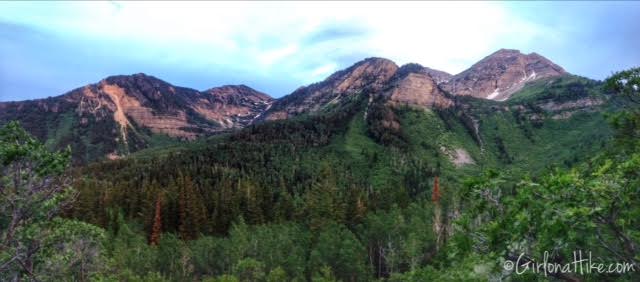
Beautiful panorama of the mountains you see most of the hike. Keep in mind that AF Canyon is typically 10-20F cooler than in the valley.
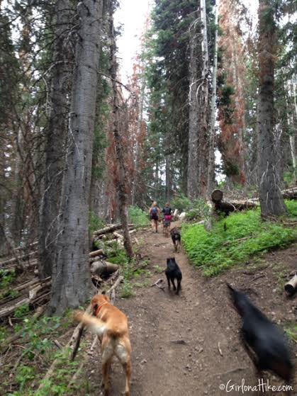
Eventually the trail veers right (West) and cuts through a very forested area for another 1/4 mile. A few of these trees look dead from the beetle that has been infecting the area. So far, the beetles have affected 408,00 acres of forest!
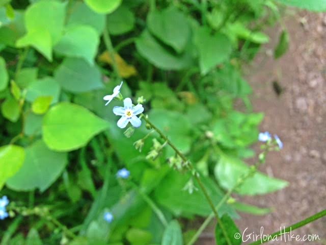
Anyone know the name of this flower?
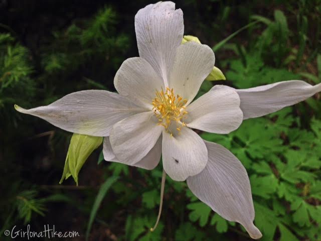
Colorado Columbine – the Colorado state flower.
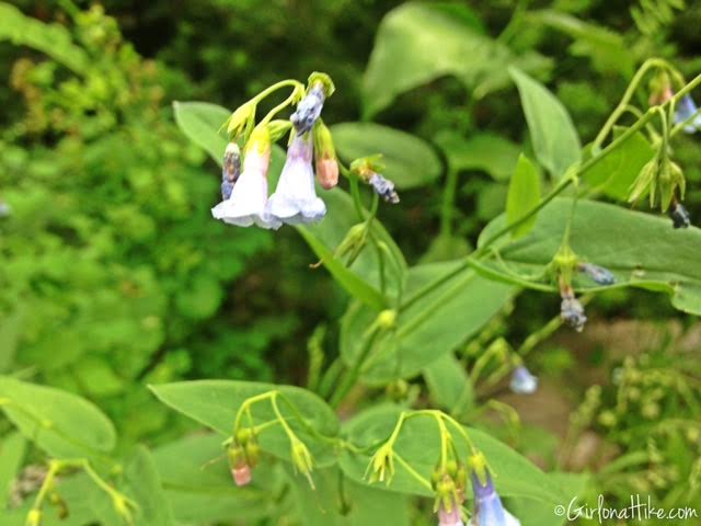
Bluebell Bellflower – a common light blue flower found in the higher elevations of the Wasatch mountains.
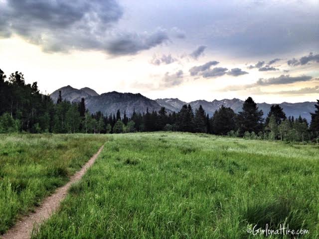
At 1.7 miles you’ll have reached Julie Andrews Meadow, with a great view of the Little Cottonwood Ridge to the north. We arrived to the meadow in around 1 hour, since we hiked at a slower pace. This was taken around 8pm. This meadow would make for a nice picnic area or campsite. If you do plan on camping here, tents must be off the trail by 100 yards.
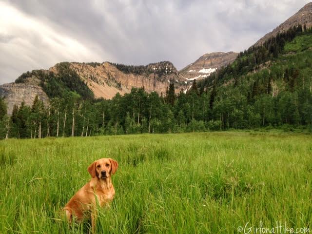
The best view is when you’ve hiked to the end of the meadow, then turn around. Not only was the light great from the evening sun, but the views were spectacular! Keep in mind that in late summer (August and after), this field will be brown and not as pretty as early summer.
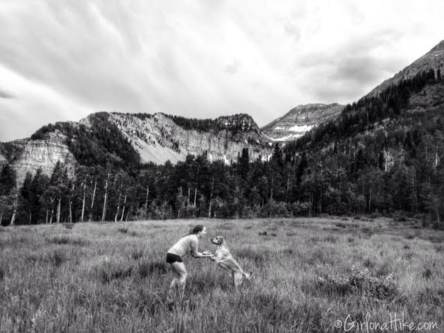
Playing with Charlie in the meadow.
September 2018
Fall is a beautiful time to hike here as well!
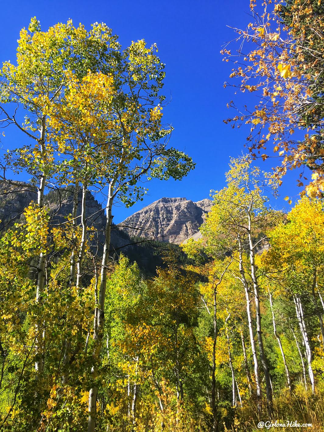
Gorgeous colors below North Timp!
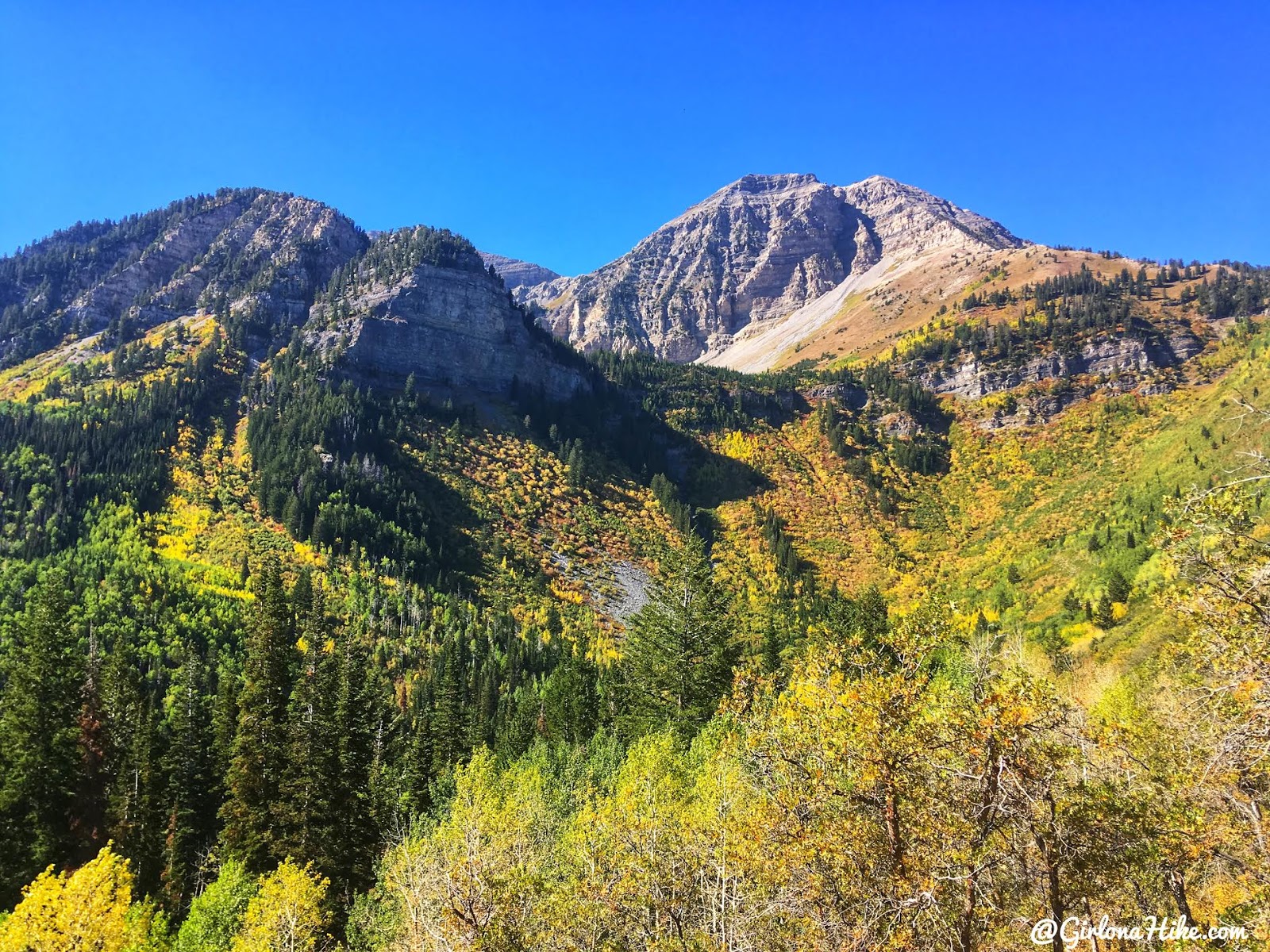
Can’t get over these views.
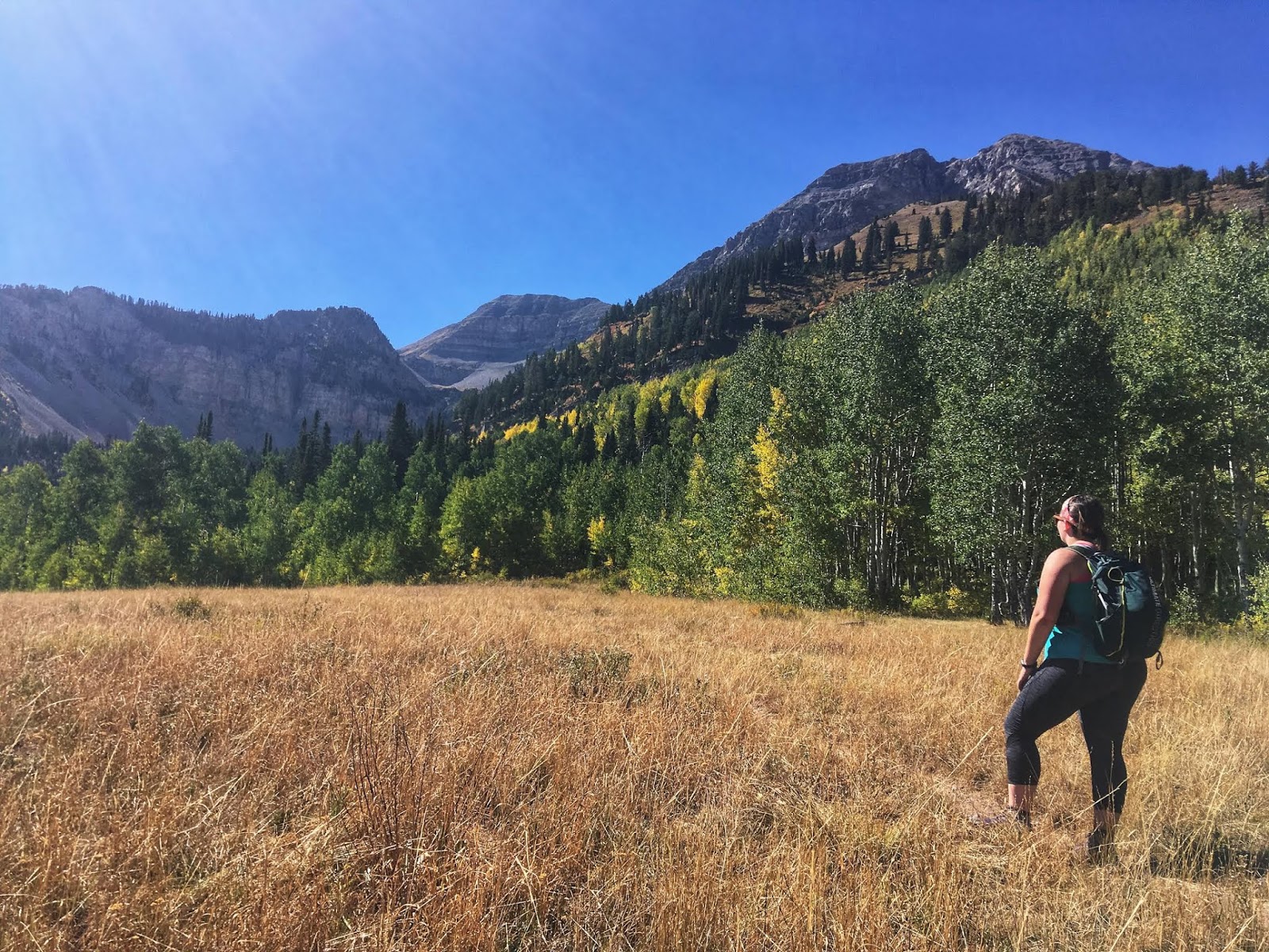
My friend Christa takes in the view!
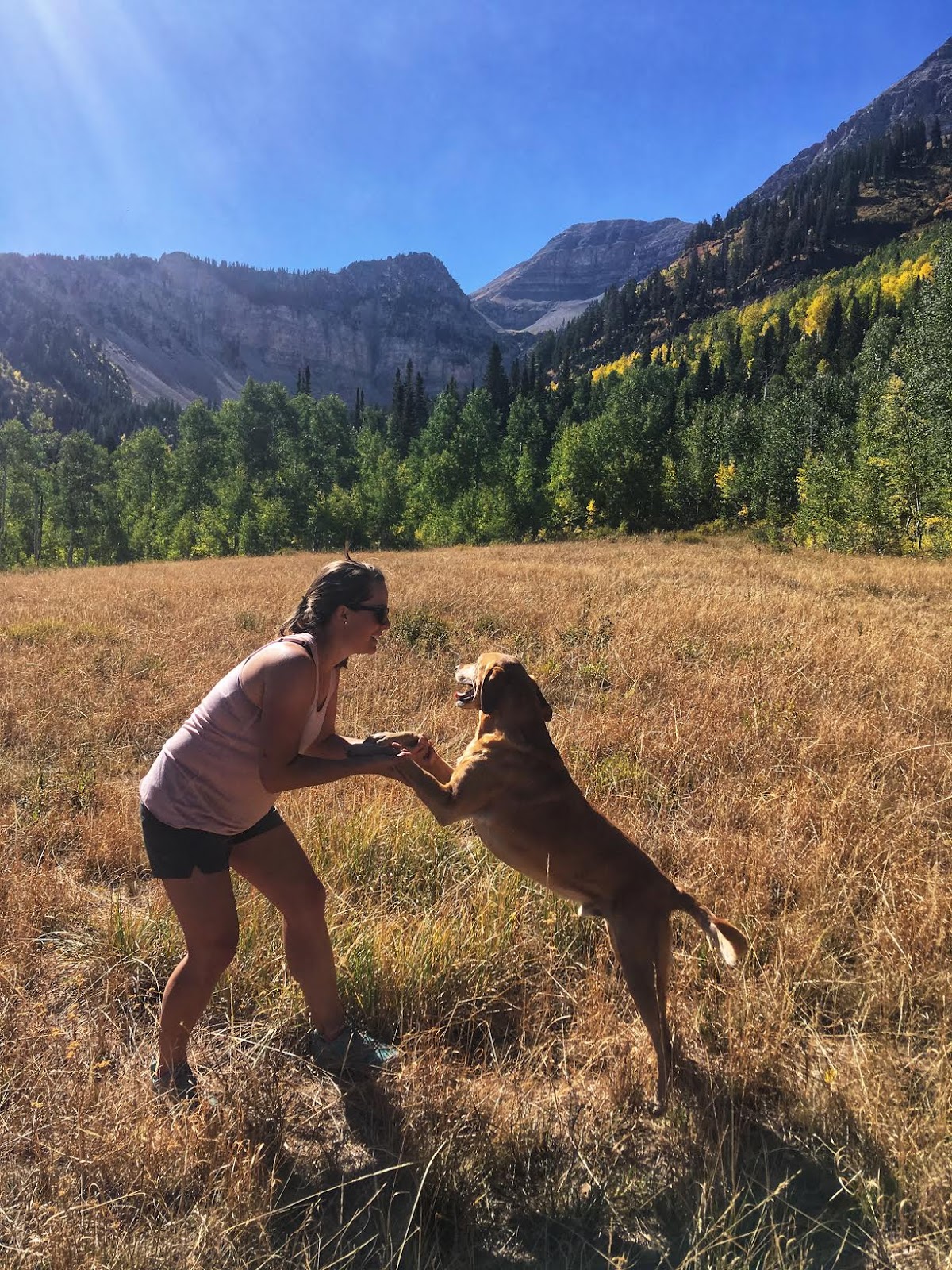
Re-creating our original photo from our first time here!
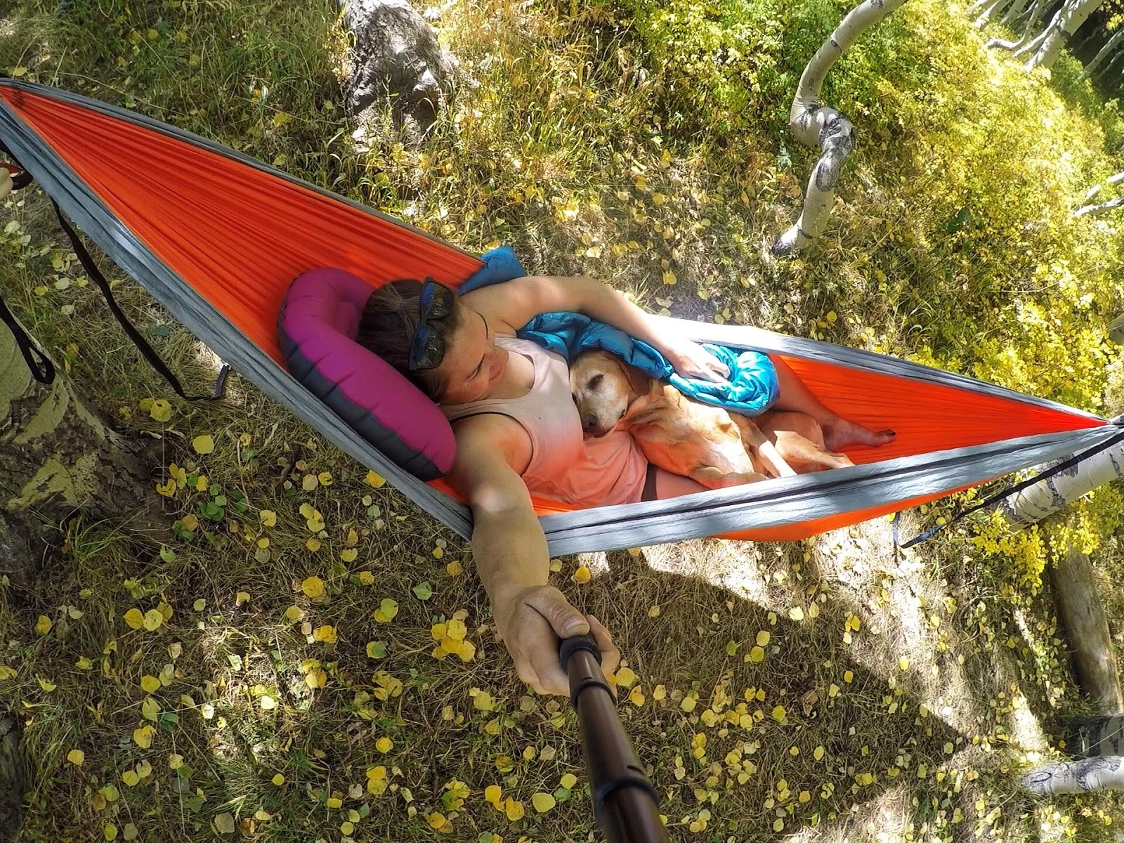
Some much needed downtime in the hammock.
Trail Map
My track via Gaia GPS – the best tracking app! Get your app here for a discount.
Nearby Hike
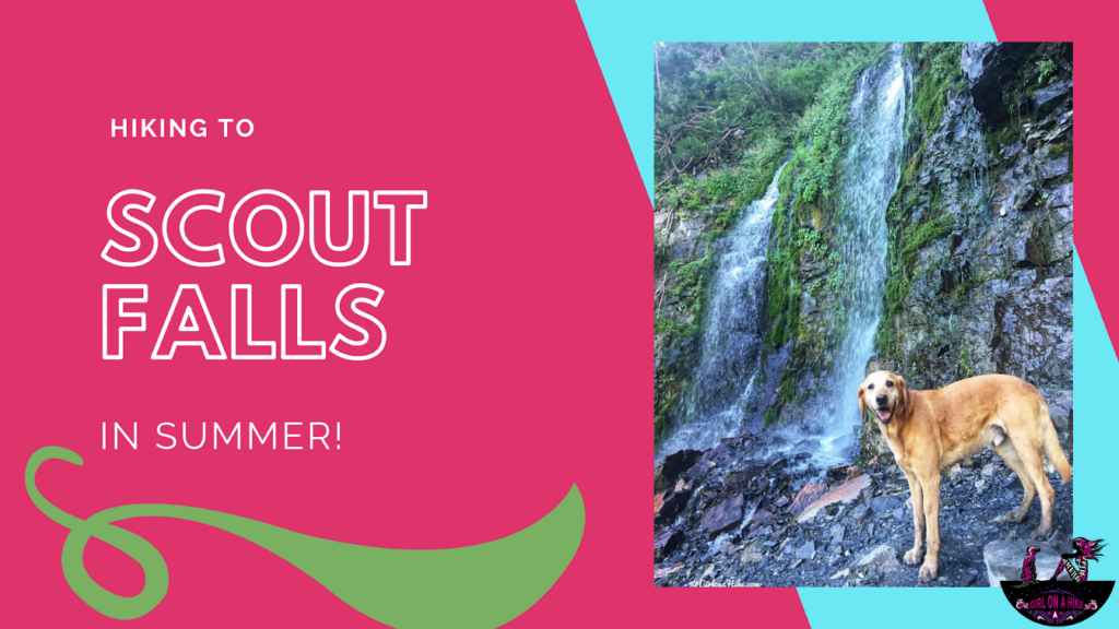
Hike Scout Falls – in Summer!

Save me on Pinterest!
