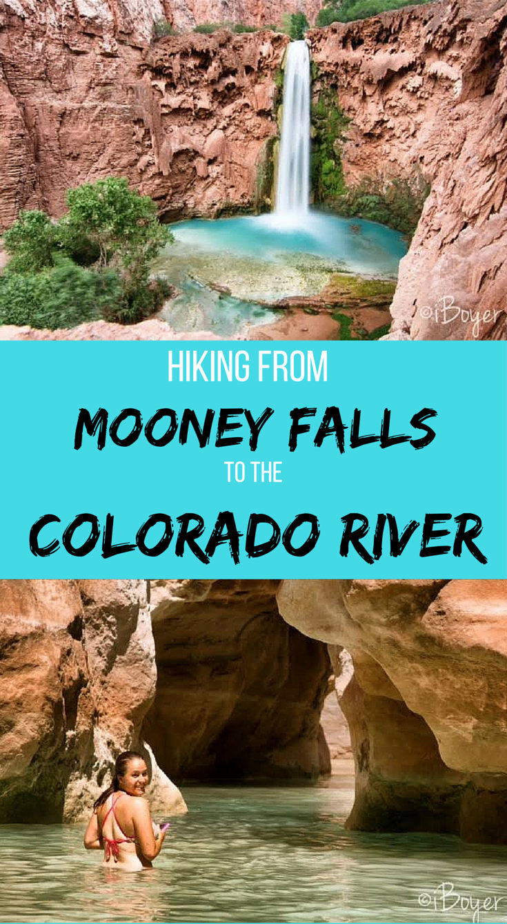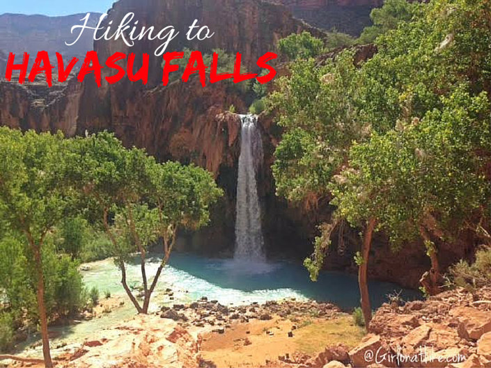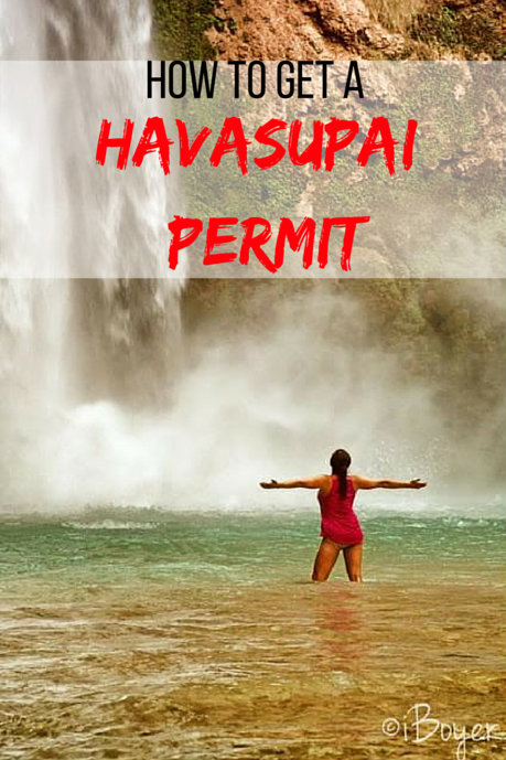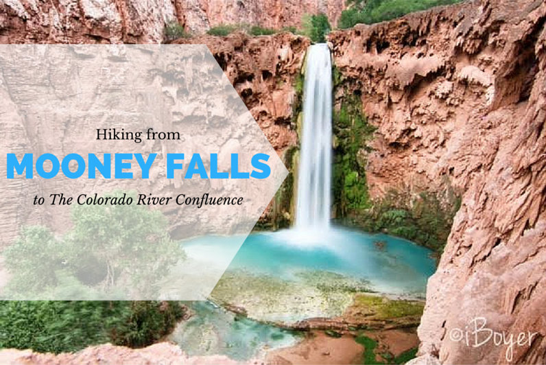

Hiking from Mooney Falls to the Colorado River confluence is a must-see on your adventure to Havasupai! Only half of the people visiting will hike to Beaver Falls, which is on the way, yet almost nobody will make the entire trek down to the confluence. A confluence is where two rivers meet – in this case the turquoise Havasu Creek meets the brown Colorado River, creating an interesting mix of colors and water temperatures.
About
Directions
From Mooney Falls, hike down the canyon until you reach the trail split for Beaver Falls (there’s a brown sign with an arrow pointing left for the falls). To get to the confluence, go straight past the brown arrow. Follow the canyon & cairns until you reach the end.
Trail Info
Distance: 5.5 miles one way from Havasu Campground
Elevation gain: 1,000 ft
Time: All day
Dog friendly? No, dogs aren’t allowed
Kid friendly? Yes
Fees/Permits: Yes, see my post on How to Get a Havasupai Permit
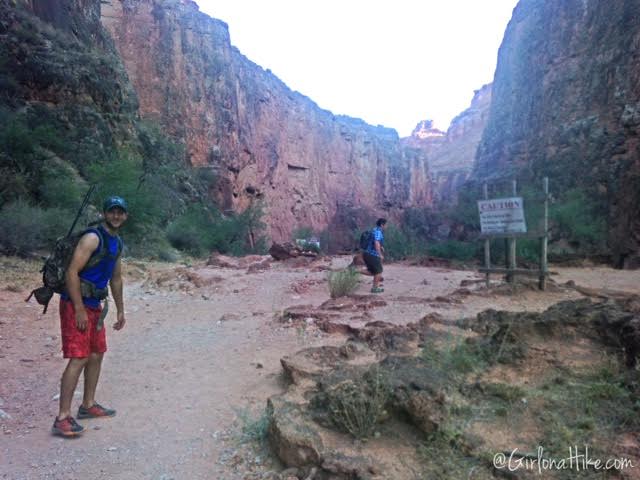
Start hiking from camp, until you reach this sign. If you look over the cliff you’ll be able to see Mooney Falls. To get to Mooney Falls was only a 10 minute hike from our campsite.
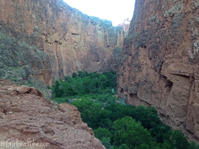
Looking over the cliff to the rest of Havasu Creek.
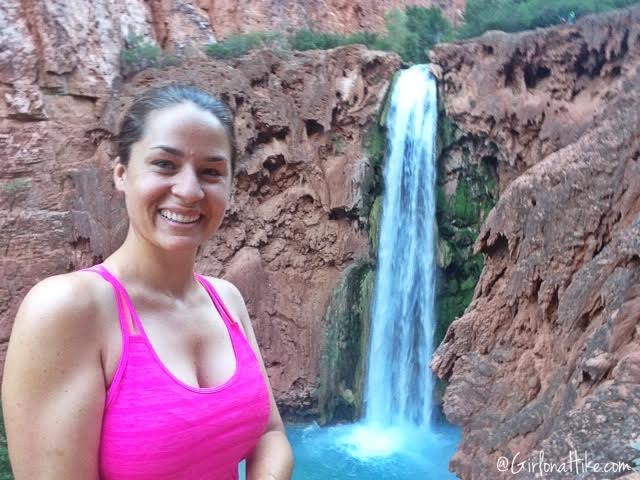
#Selfie!
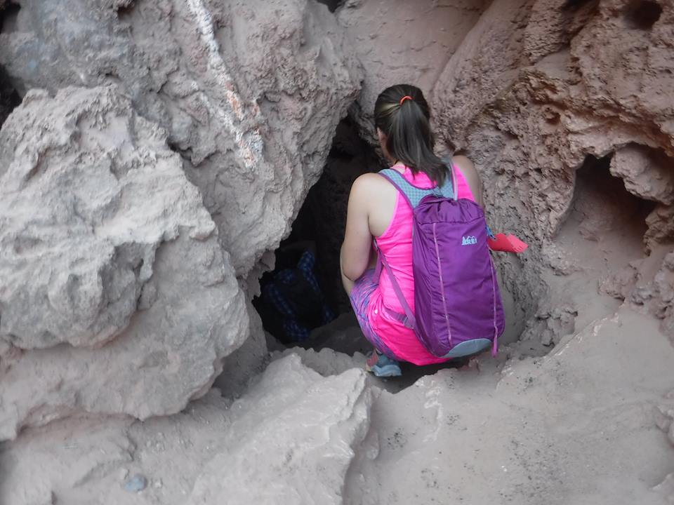
Climbing down through the cave.
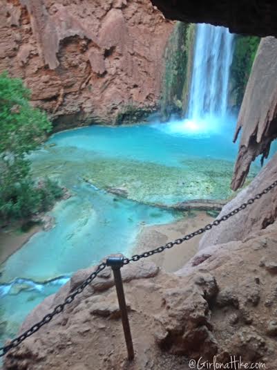
Getting a peak at Mooney Falls.
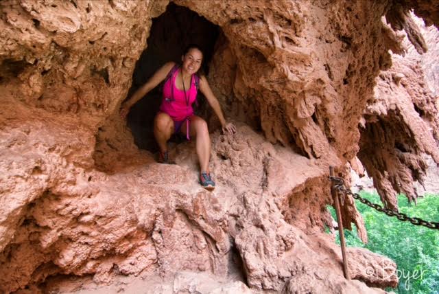
Climbing out from the tunnel.
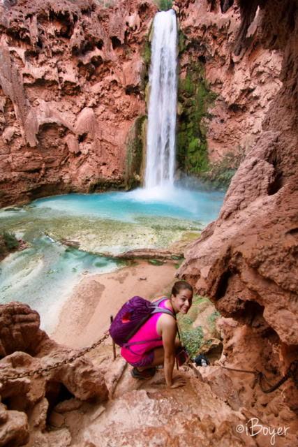
The climb down is super steep! You can use the chains to hold on to.
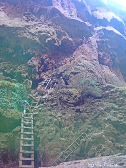
Looking back up to the ladders from the base of Mooney Falls. If you have a fear of heights, you probably won’t want to hike even this far.
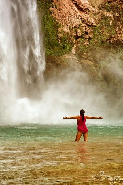
Standing at the base of Mooney Falls! Photo by @iBoyer.
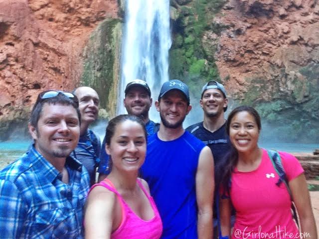
Group shot at Mooney Falls.
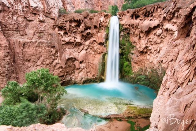
Beautiful view of Mooney Falls by @iBoyer.
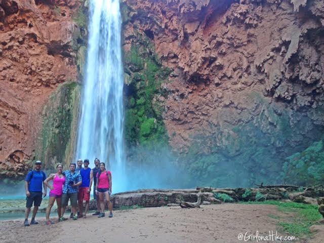
Another group selfie using my Rif6 Mini Tripod.
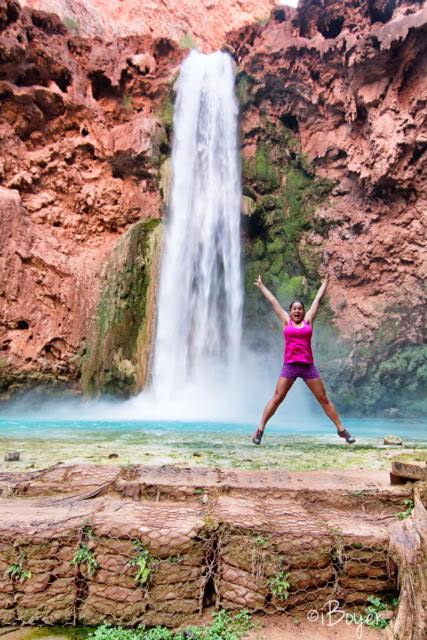
Jumping at Mooney Falls! Photo by @iBoyer.
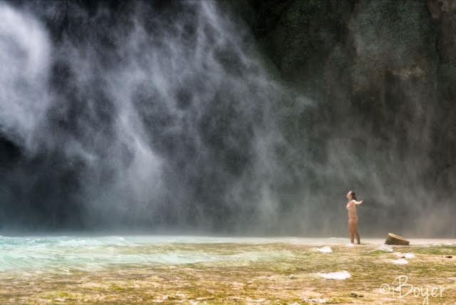
Standing in the mist of Mooney Falls was so fun and crazy! The mist was so heavy I couldn’t open my eyes. Photo by @iBoyer.
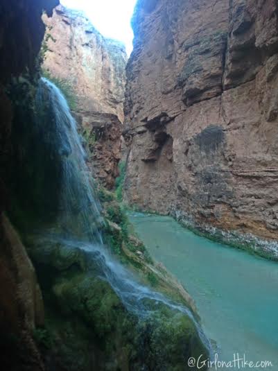
Continue following the side trails past Mooney Falls, and you’ll see this cool waterfall. It’s really fun to stand under!
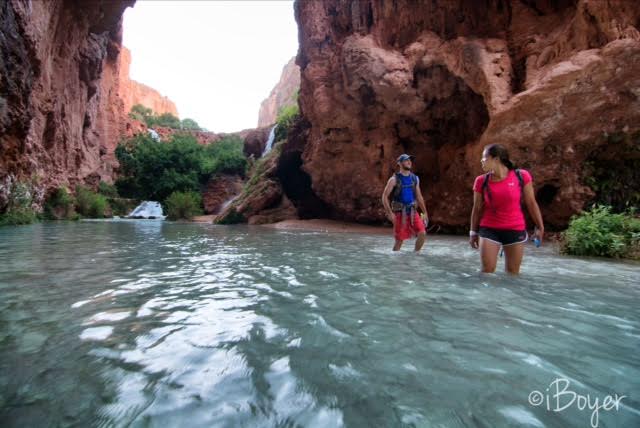
Lisa & Byron make their way past the small waterfall, and check out their surroundings.
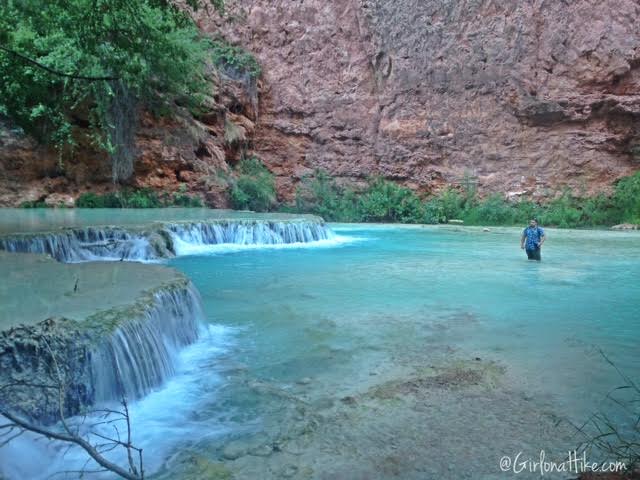
Along the “trail” you’ll walk in and out of water. It’s important that you have really good, sturdy water shoes. I use the Merrell Capra Rapid – they work great to keep rocks out of my shoes. Even though I am a huge Chaco fan, you’ll get too many rocks and sand underneath your feet. Even Keens will get rocks in them.
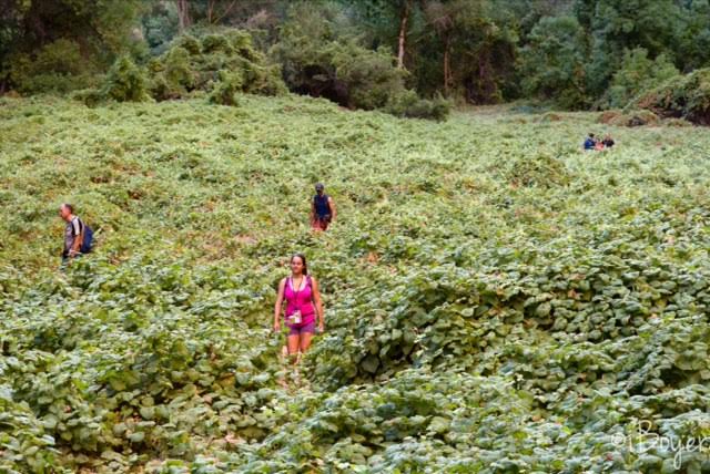
Cutting through the fields of tiny grapes.
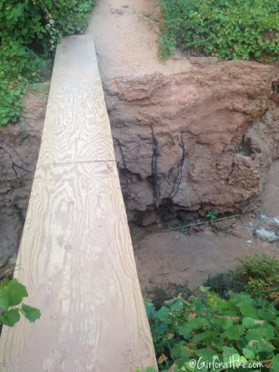
Crossing over a sketchy bridge. It looks really flimsy, but it’s got 2X4s underneath for support.
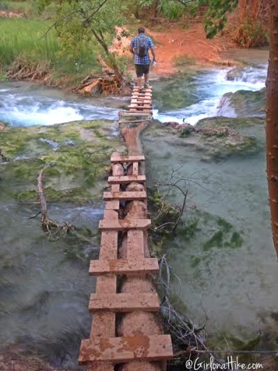
Crossing over another bridge. Anytime there is a bridge I suggest using it, instead of walking in the water, because where ever there is a bridge, its most likely crossing over a strong current area in the creek.
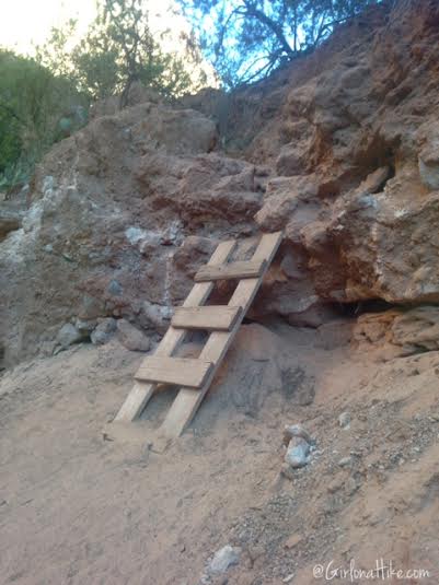
Along the trail you will have to climb several ladders. To do this hike, you should be generally fit and able to climb up to 15 feet on a ladder. This is one of the smallest ladders.
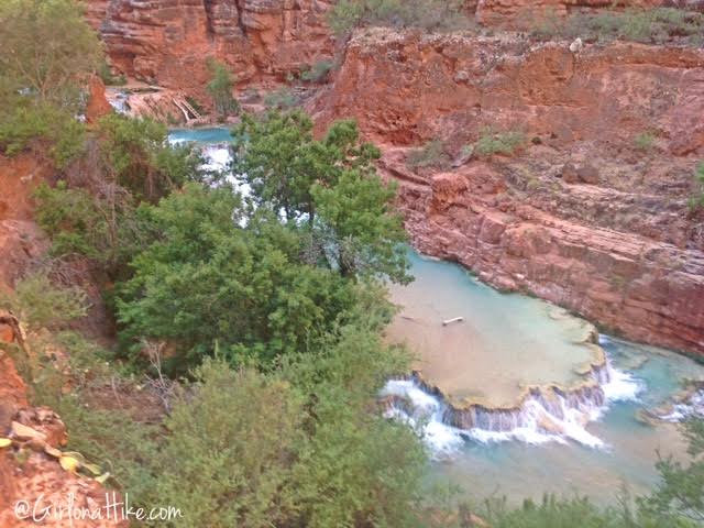
Looking down to Beaver Falls from the trail. Nobody there at 7am!
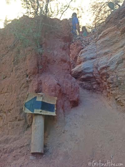
You’ll want to keep an eye out for this important brown arrow. Going left and down takes you to Beaver Falls, but to get to the confluence, go straight past it. We decided to hit the confluence first, then come back to Beaver Falls on the hike back to camp.
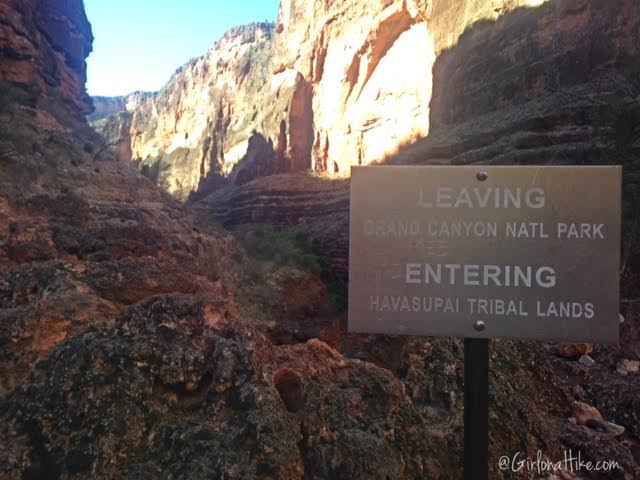
You’ll come across this brown sign, looking back. There is where you are officially in the Grand Canyon.
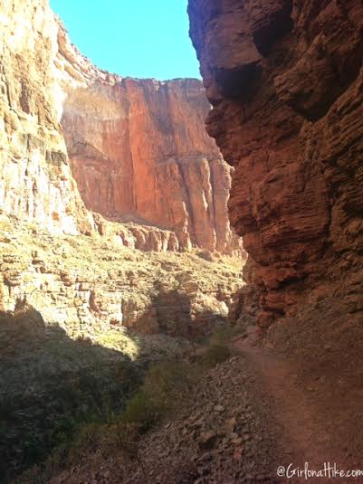
Continue following the cairns and well traveled trail.
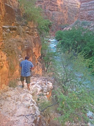
Work your way down the side of the cliff, so that you reach the creek again.
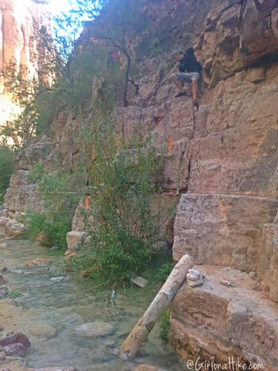
This is where the dry trail meet the river – there is a log on it’s side, a cairn, and two orange tags hanging in the tree. Remember this spot, for when you hike back up.
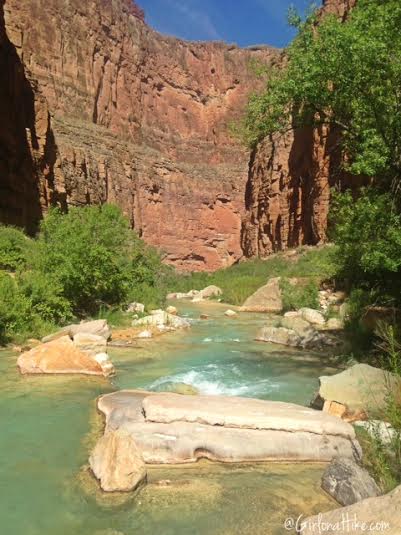
For the rest of the canyon, the trail alternates hiking on both sides of Havasu Creek, often crossing the river several times. If you get too hot while hiking, find a nice deep swimming hole to cool off.
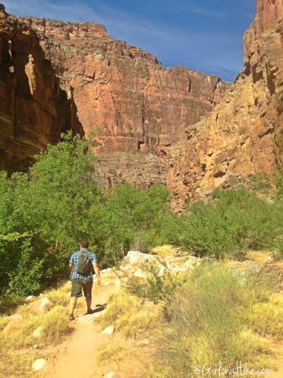
Back on the dry part of the trail.
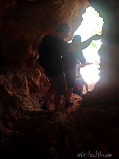
When you get close to the end, you’ll hike through this small cave. A relief from the heat!
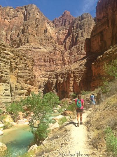
We could finally see the canyon wall across the way – we knew we were very close now.
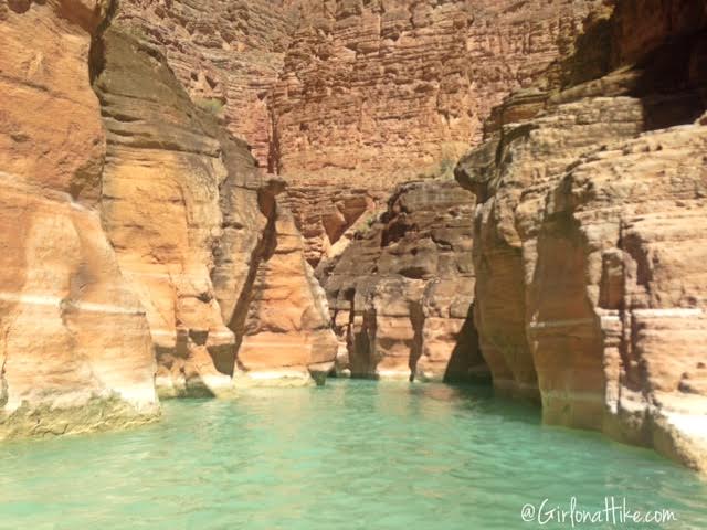
Ahh…the end of the trail. Oh darn, guess it’s time to swim a little! The confluence is literally about 100 yards through this section. It was about waist deep.
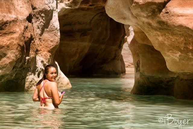
This is the narrowest part of the slot canyon, and you don’t want to swim past this. The current was strong here, and could easily pull you out to the Colorado River. This was as far as I went, to where I felt comfortable stopping.
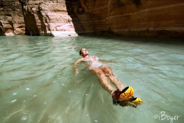
Swimming in the most amazing water! Photo by @iBoyer.
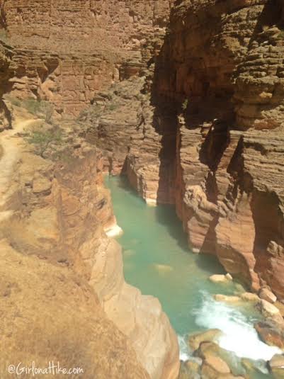
I decided to climb up to the ridge where the rafters were hiking in. You get a good view of the slot canyon.
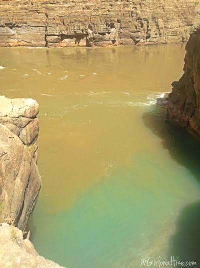
The confluence!
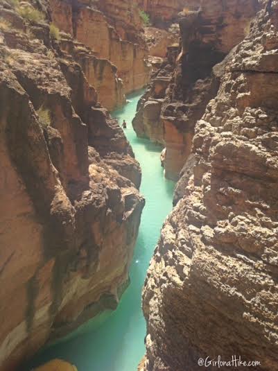
A look back into the slot canyon, where the rest of our group was swimming.

Panorama of the Colorado River.
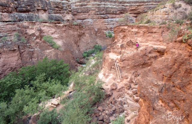
Once we got back to the trail split for Beaver Falls, we followed the ladders down to the creek.
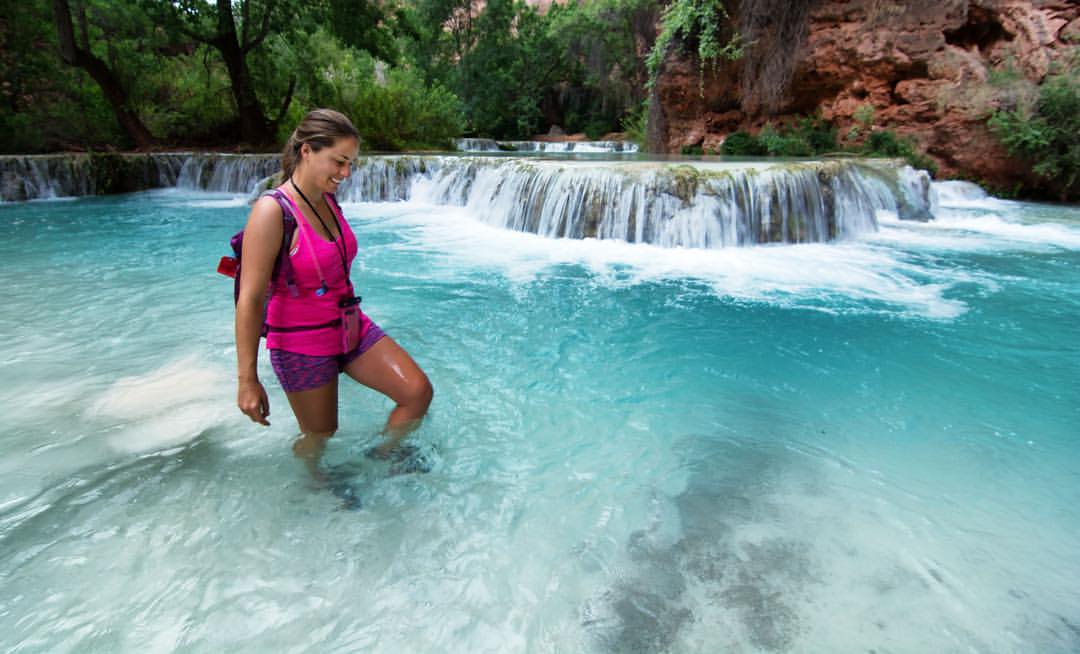
Stopping at Beaver Falls to swim and hang out.
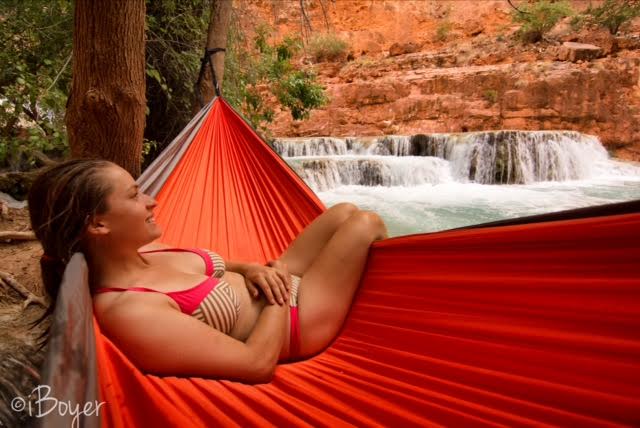
Hanging out in my new Kroex Double Hammock at Beaver Falls. Photo by @iBoyer.
Trail Map
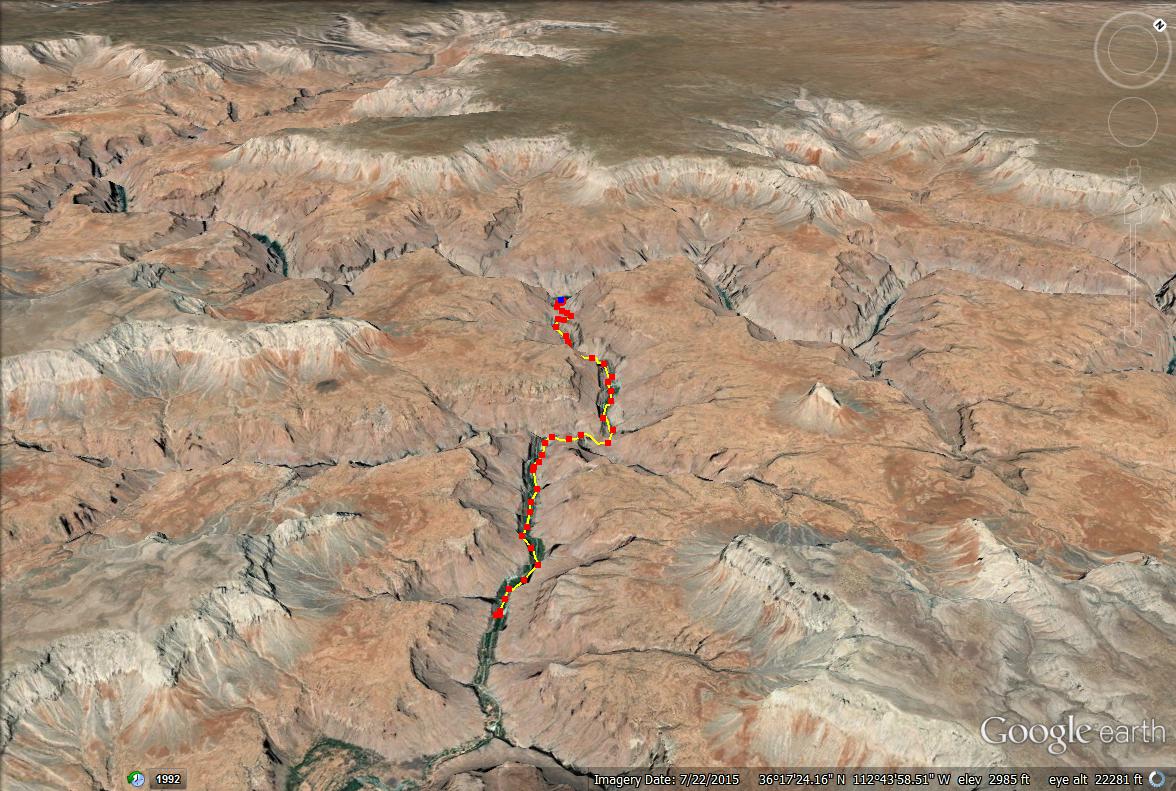
Trail map from Mooney Falls to the confluence.
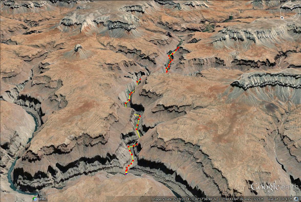
Another angle of the trail map to the confluence.

Save me on Pinterest!
