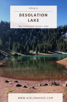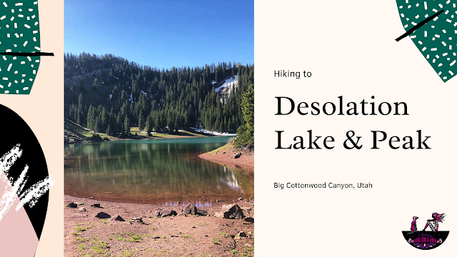

Hiking to Desolation Lake & Peak in Utah is situated in the Mount Olympus Wilderness, and can be hiked to within 2 hours. Desolation Lake is a beautiful blueish-green alpine lake. The long, gradual incline, and few switchbacks make this a very doable hike for any skill level. Hiking to Desolation Peak requires a little more stamina and comfort with ridges. Be sure to bring plenty of water and a snack to enjoy at the lake. This trail can be hiked year round. This trail is located in Big Cottonwood Canyon, and therefore dogs are not allowed due to the watershed. Please respect this rule. This is a very popular TH and on weekends, parking typically gets full by 7am in the summer.
Directions
Take I-215 south until you reach the 6200 South exit. Turn right onto Wasatch Blvd., then turn left at Big Cottonwood Canyon. Continue up BCC approximately 9 miles to the Mill D North Fork Trail head, located on the north (left) side of the road. Here is a driving map.
Trail Info
Distance: 8 miles RT for the lake only, 10 miles RT to the Peak
Elevation gain: 1900 ft to the lake, 2500 ft to the peak
Time: 4-6 hours RT
Dog Friendly? No, dogs are not allowed in BCC
Kid friendly? No
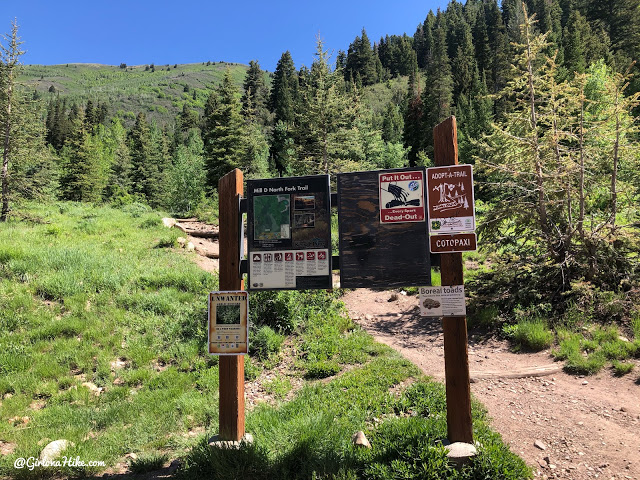
Start by following the Mill D Trailhead.
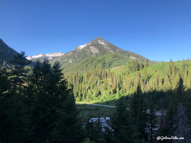
You’ll immediately have a great view of Kessler Peak.
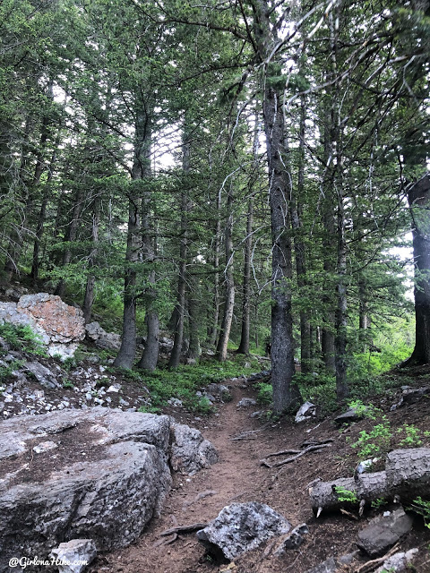
A little rocky to start, however it is well-shaded.
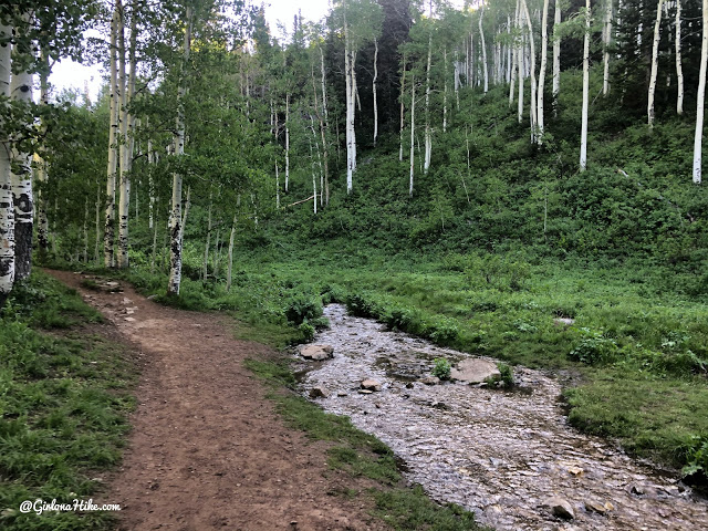
The trail heads up, and East for the first 15 minutes. After 15-20 minutes, the trail will turn left, or North, and follow the canyon up.
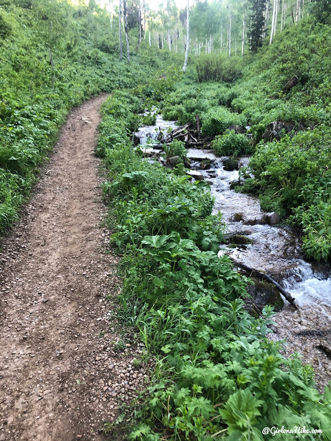
The trail is now rock-free, and follows close to the stream.
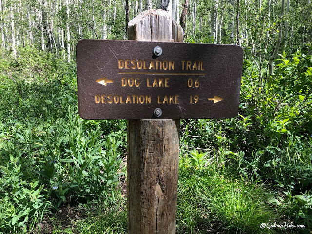
Roughly half way to the lake, turn right at the first trail split.
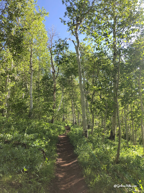
Ahh, Aspen trees!
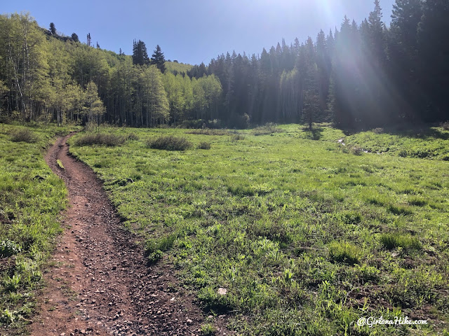
The views really open up, and you’ll pass by many meadows.
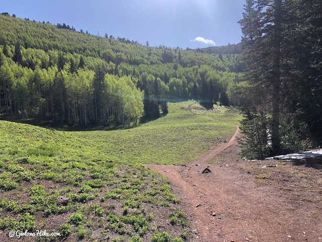
Next, just before the lake, the trail dips down into another meadow.
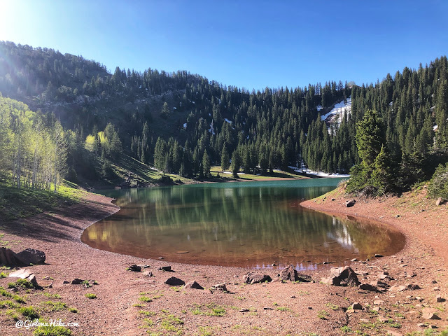
Reach Desolation Lake! There are plenty of camping sites around the whole lake.
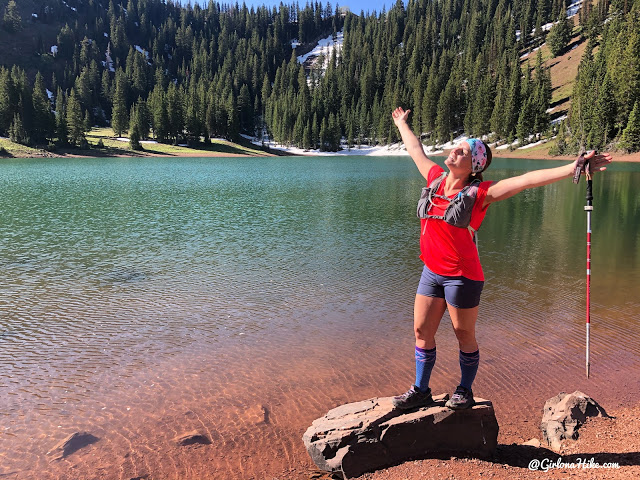
Whoo hoo what a great day to go for a run and soak up the sun!
If you get bad lactic acid build up in your calves and/or run often, I highly recommend getting compression socks! I get mine from Lily Trotters and love them.
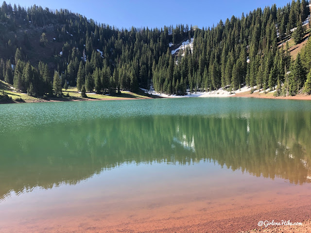
Love the green and red colors of this lake.
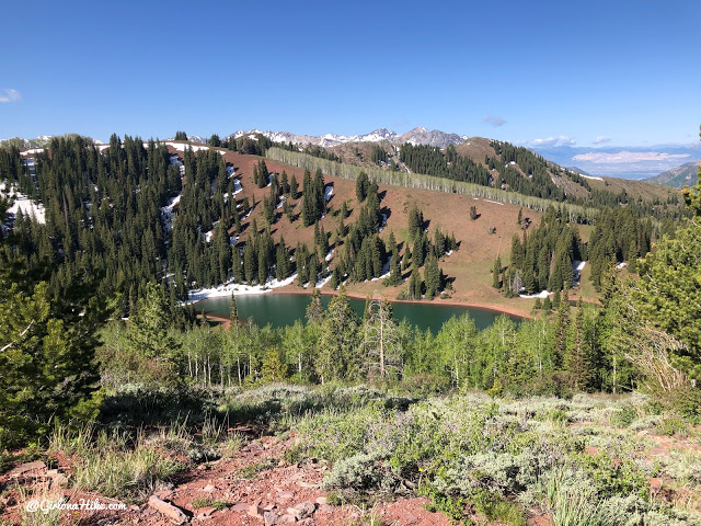
After walking around the lake, we then continued following the trail up towards the ridge to reach Desolation Peak.
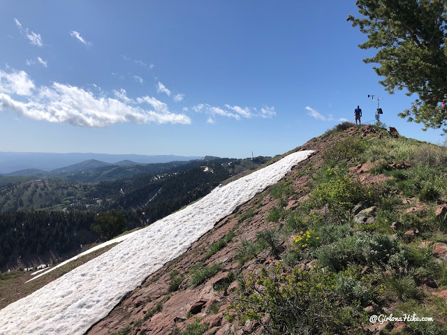
Ian beats me to the summit – he’s so fast!
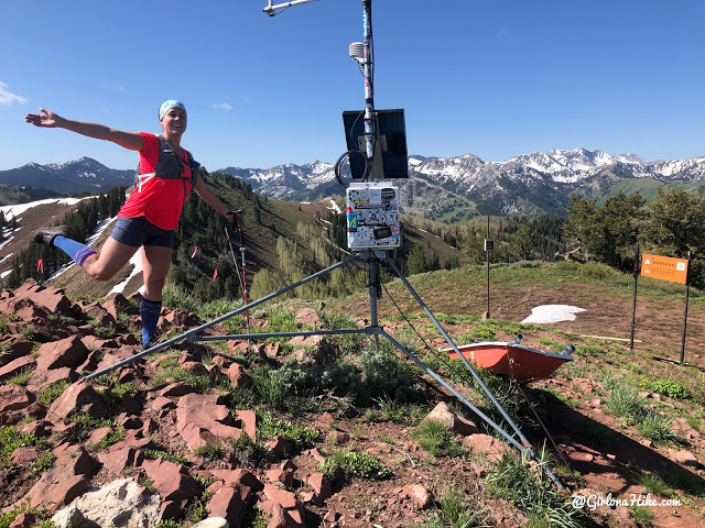
What an awesome day – can’t beat these views of the Wasatch!
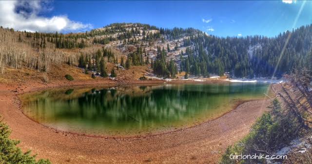
Photo from my first time here in October 2015!
Trail Map
My track via Gaia GPS – the best tracking app! Get your app here for a discount.
Nearby Hike

Save me on Pinterest!
