Hiking to Pittsburg Lake in American Fork Canyon is a short but steep adventure that climbs through the scenic Mineral Basin area and leads to a stunning alpine lake at 9,400 feet. Surrounded by rugged mountain peaks, wildflowers, and sweeping views, this rewarding hike is one of the best high-elevation lake hikes in the Wasatch Mountains.
About
Pittsburg Lake is one of the more challenging alpine lakes to reach in the Wasatch Mountains due to the limited trail access. Hikers have two options: tackle a longer route from Tibble Fork Reservoir (my choice while training for an ultramarathon) or use an ATV, dirt bike, or high-clearance vehicle to reach the official trailhead. While the hike itself is only 3 miles round trip from the trailhead, my route from Tibble Fork turned it into a 17-mile adventure. For the purposes of this guide, however, I’ll focus on the shorter 3-mile route.
The Road
Most trucks, Jeeps, and 4Runners can travel several miles up the forest service road beyond Tibble Fork Reservoir. Around 5.8 miles up the road, you’ll reach a crossing of the American Fork River. Depending on water levels, this is a good place to park and continue on foot. Beyond this point, the road becomes significantly narrower, rockier, and more off-camber, making travel difficult for many vehicles. ATV and dirt bike riders can typically continue all the way to the trailhead. During late spring and early summer, several additional creek crossings near the trailhead can vary in difficulty depending on snowmelt and water levels.
The Trail
The hike to Pittsburg Lake may be short, but it gains elevation quickly. The trail is steep, rocky, and climbs through high-elevation terrain, making it more strenuous than the mileage suggests. Despite the challenge, the route is easy to follow and rewards hikers with spectacular alpine scenery, wildflowers, and a stunning mountain lake at 9,400 feet. Because reaching the trailhead already requires significant effort, many visitors choose to turn the trip into an overnight backpacking adventure.
No matter how you choose to access the trailhead, Pittsburg Lake delivers a memorable mountain experience. Between the rugged approach, steep climb, and beautiful alpine setting, it’s one of the most rewarding lake hikes in American Fork Canyon.
Directions
From Tibble Fork Reservoir, follow Forest Service Road 085, the main road leading into Mineral Basin. Continue for approximately 5.8 miles to the American Fork River crossing, which is a good parking location for most trucks. From here, hikers can continue on foot to the trailhead.
If you’re using an ATV or dirt bike, continue another 0.62 miles to reach the official Pittsburg Lake Trailhead. Google Maps may suggest an alternate route shown on the map to the left, but that route is significantly longer. To save time and mileage, simply stay on Forest Service Road 085 all the way into Mineral Basin.
Keep in mind that several seasonal gates control access to the road, and they do not all open at the same time. Depending on snowpack, portions of the road may remain closed well into spring. In most years, the entire road is open by Memorial Day weekend, which is typically the earliest date ATV riders can access the Pittsburg Lake Trailhead directly.
Before your trip, check current road conditions and gate closures, as spring runoff and lingering snow can impact access throughout American Fork Canyon and Mineral Basin.

Trail Info
Distance: 3 miles RT
Elevation gain: 1,500 ft
Time: 2-4 hours
Dog friendly? Yes, off leash
Kid friendly? Yes, ages 12+
Fees/Permits? None
Hiking the Pittsburg Lake Trail: What to Expect

Before reaching the official Pittsburg Lake Trailhead, you’ll need to cross a small creek. Water levels vary throughout the season, but in late May I was able to rock-hop across and keep my feet dry.

Once you’ve cleared that you will see the official trailhead and this large rock.

The trail begins at a signed junction where an old fence blocks motorized access beyond this point. From here, all travel to Pittsburg Lake is by foot.

The lower section of the trail is mostly exposed. Scattered aspen groves provide occasional shade. Expect several downed trees during the first part of the hike.

After a gentle start, the trail turns sharply to the right and immediately begins its steep climb toward Pittsburg Lake.
Climbing Through Mineral Basin to Pittsburg Lake

As you gain elevation, impressive views of Mineral Basin begin to open up behind you, making the climb a little more enjoyable.

This is the steepest section of the hike. Loose rocks and a relentless grade make the climb feel more challenging than the mileage suggests.

Frequent breaks are rewarded with increasingly expansive views of Mineral Basin and the surrounding Wasatch peaks.

Thankfully, the trail briefly levels out before the final push to the lake, offering a welcome break from the sustained climb.

Higher on the trail, Devil’s Castle becomes more prominent on the skyline (top right in photo), providing a dramatic backdrop above Mineral Basin.

The final stretch traverses open alpine terrain, and the lake soon comes into view.

There are several nice campsites around the lake – this was the largest and flattest.

After the steep climb, Pittsburg Lake is a rewarding destination. Sitting at approximately 9,400 feet, the alpine lake is surrounded by rugged peaks and offers a peaceful place to relax, fish, or spend the night.

Devil’s Castle towers above the lake, creating one of the most scenic views in the area. Since I started at Tibble Fork Reservoir, I had already covered about 8.5 miles by the time I reached the lake.
Pittsburg Lake and Historic Mining Remains

On the south side of Pittsburg Lake, you’ll find the remains of an old mining-era cabin. It’s a fascinating reminder of the area’s rich mining history and the people who once lived and worked in this remote mountain basin.

Although the structure has collapsed over time, it remains an interesting historic feature and provides a glimpse into the mining activity that once took place throughout Mineral Basin.
Trail Map
My track via Gaia GPS – the best tracking app! Get your app here for a discount.
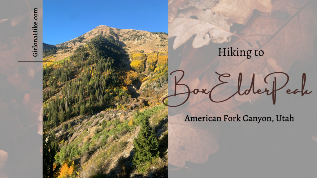
Nearby Hike
Hiking to Box Elder Peak, American Fork Canyon

Save me on Pinterest!

![]()