
Directions
Parking UPDATE JUNE 2020
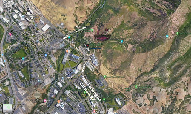
Head north on Foothill Drive. Turn right on Wakara Way, then right on Colorow Rd, and find free parking here. Next you have to walk to the actual TH. Continue walking up Wakara Way, then left on the paved BST, as it wraps around Red Butte. You’ll see the newly paved/permitted parking area, and the trail starts on the left/North side of the parking lot.
Here is a driving map, and a visual for how to walk there below.
Trail Info
Distance: 2.2 miles RT
Elevation gain: 1,200 ft
Time: 1-2 hours
Dog friendly? Yes, off leash
Kid friendly? Yes, but it may be steep for them
Fees/Permits? None
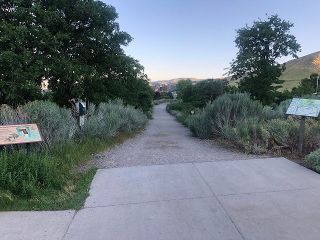
Park for free on Colorow Rd, then walk along the paved BST section as it wraps around Red Butte. Dogs need to stay on-leash here. Watch out for bikers flying through too.
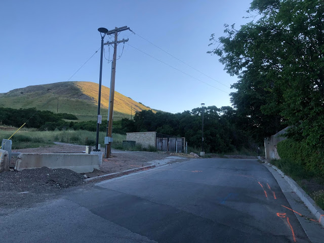
The paved BST ends, and now you need to walk up the road following the electric poles.
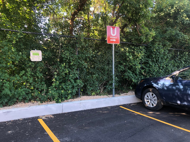
As of June 2020, parking is allowed only by a Uni of Utah permit or pay by phone app.
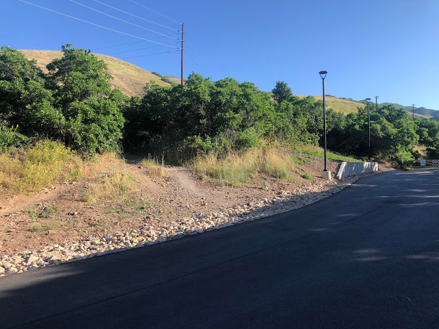
The trail begins in the paved parking area on the North side of the lot. If you walk past the yellow gate, you went too far (that road is nice for an easy dog walk however).
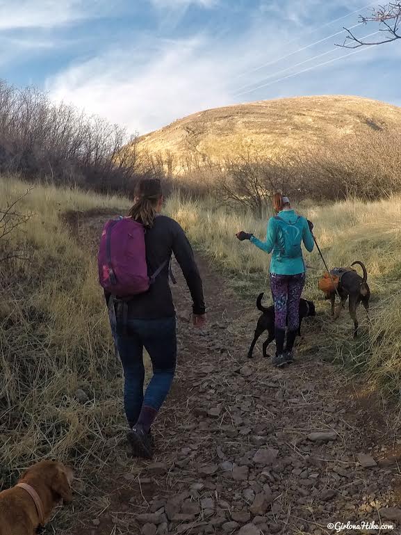
Hike up a short hill to meet the BST. See that bigger hill ahead? You’ll end up hiking up that ridge.
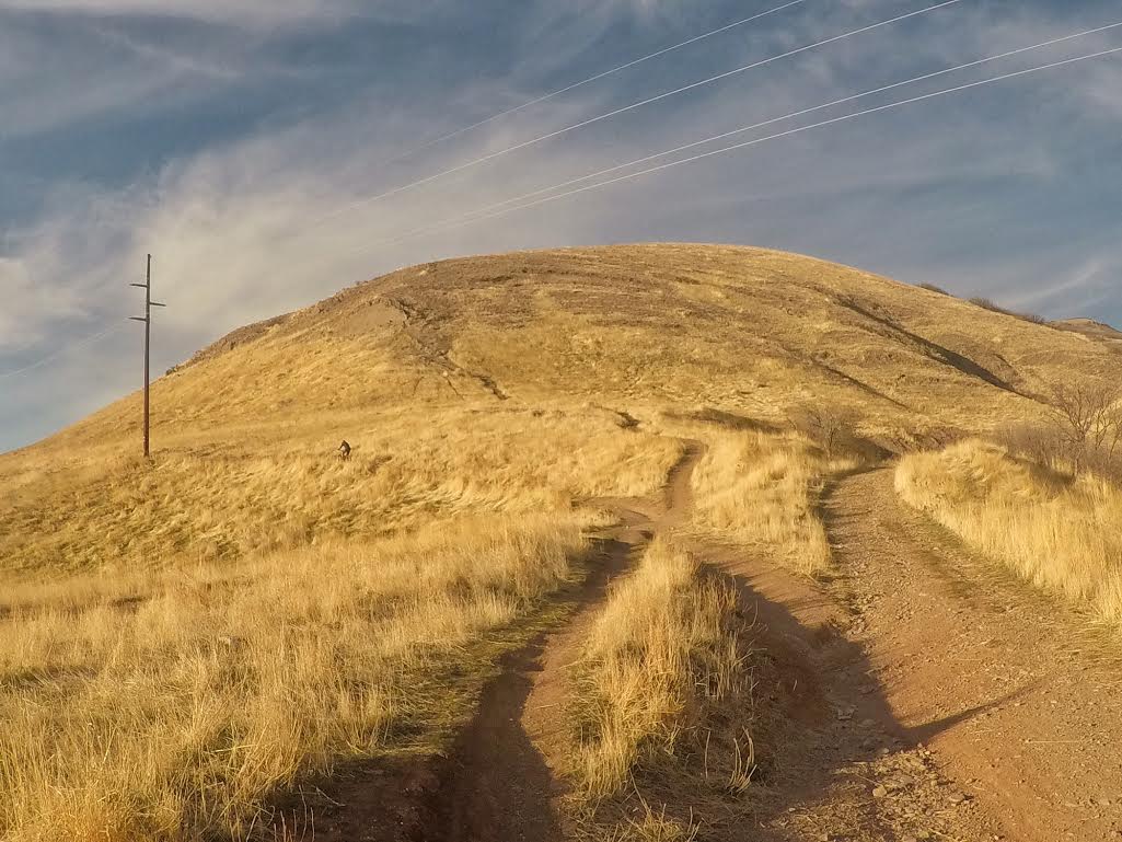
At the BST, turn right and follow the trail towards the rocky area straight ahead (above the biker and just to the right of the electric pole).
This will be the steepest section of the hike, as you make your way up the rocky area. It’s actually easier to just hike up over the rocks than to stay on the trail because of the dirt is loose.
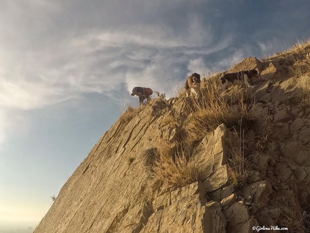
The dogs explore the rock face.
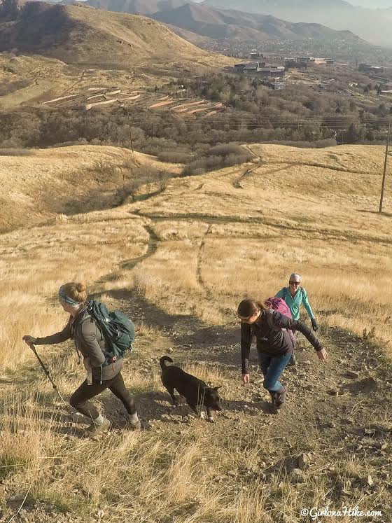
Looking back down to the girls hiking up. It’s really steep! Hiking poles are helpful.
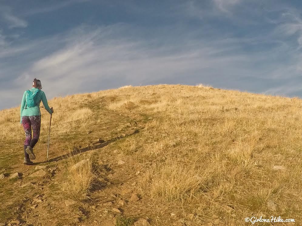
Continue following the ridge trail.
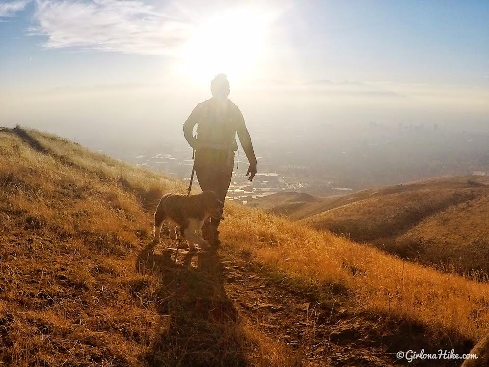
Late afternoon is perfect for photos!
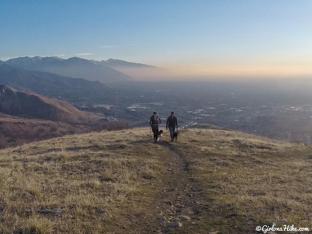
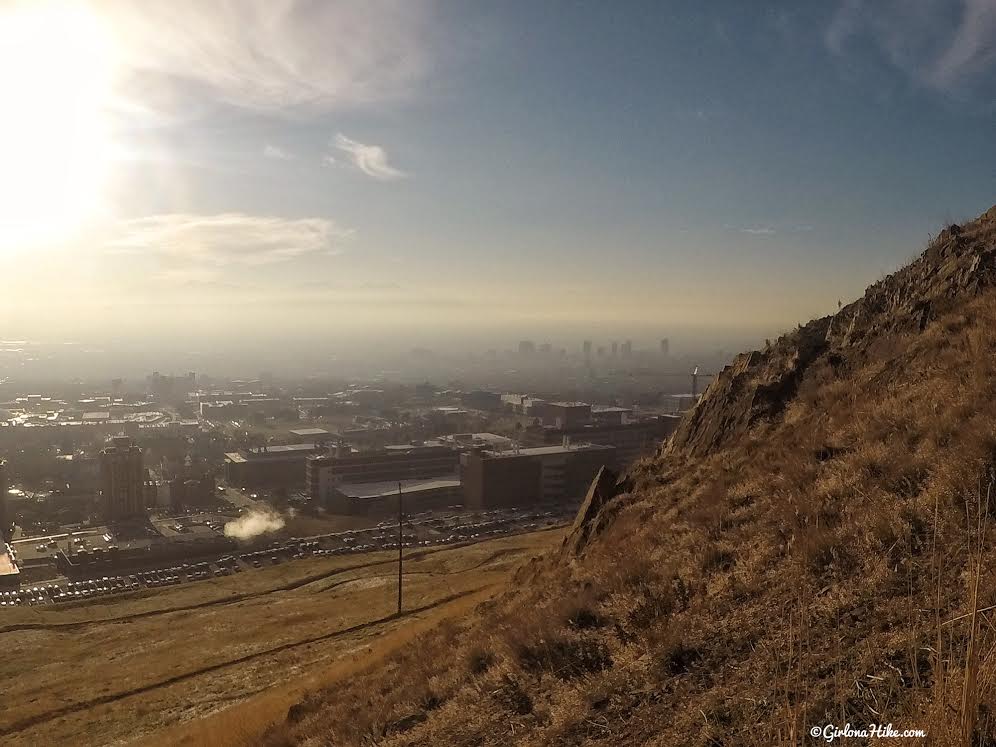
A cloud came and blocked our sun! Looking back to the valley – the smog has been really bad lately.
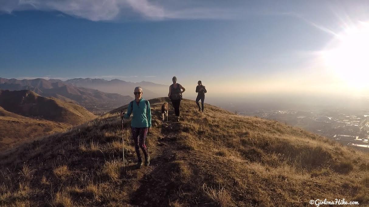
Keep going…
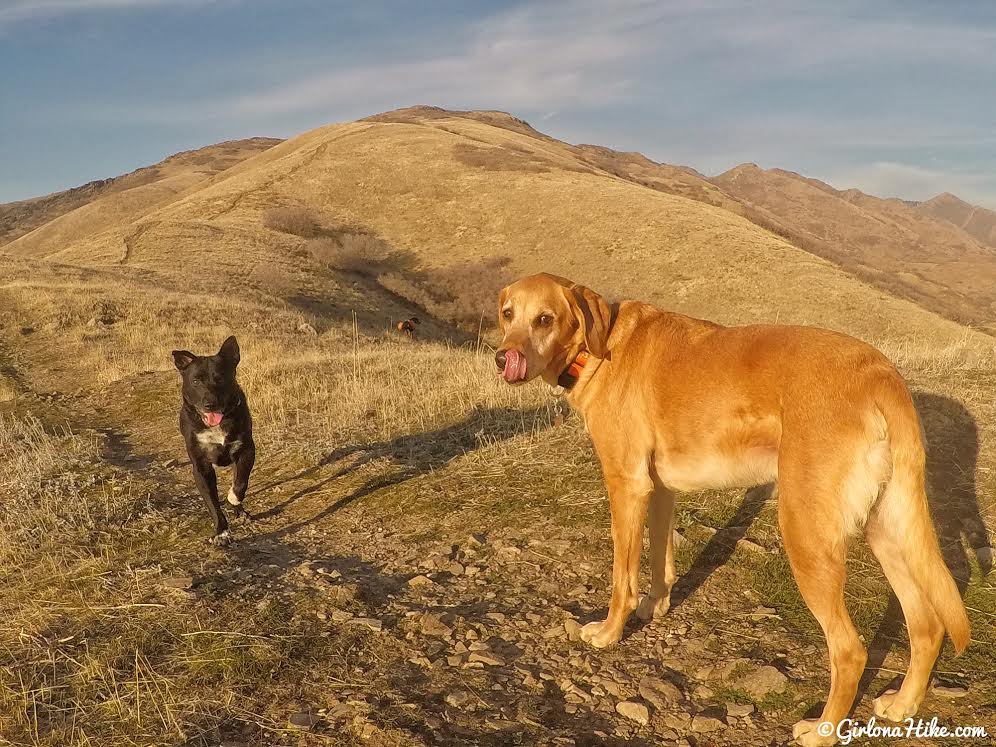
Charlie and Cooper pose for a photo. You can clearly see where the trail goes from here.
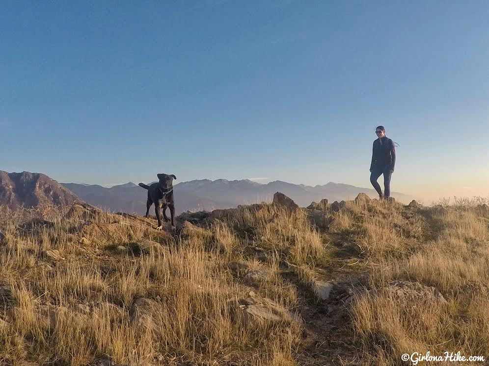
Getting closer to the summit.
As you get close to another rocky section, you know you’re close to the summit.
Reach Mt. VanCott in 1.2 miles!
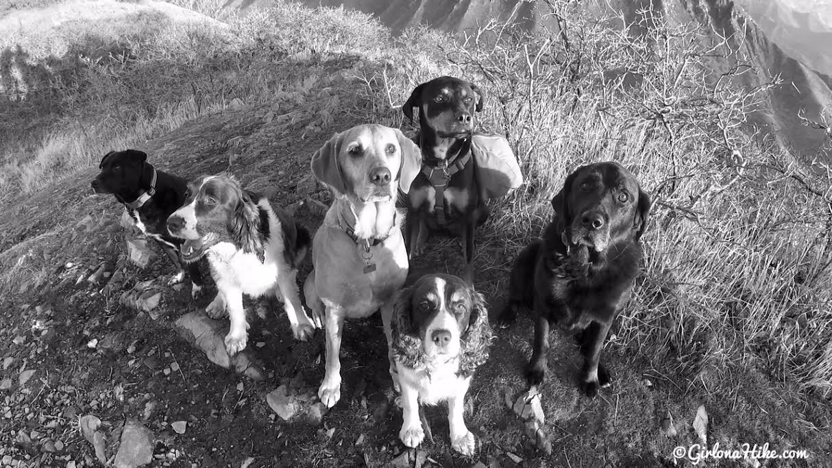
Our new pack record for getting dogs to pose for a photo is 6! We used treats and a lot of STAY!!!
From here you can hike back down the same way, or explore another trail to create a loop. You can’t really get lost since you can always see the city from any of the trails in this area.
October 2016
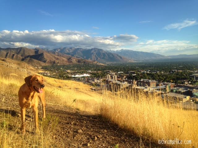
What the valley looks without smog.
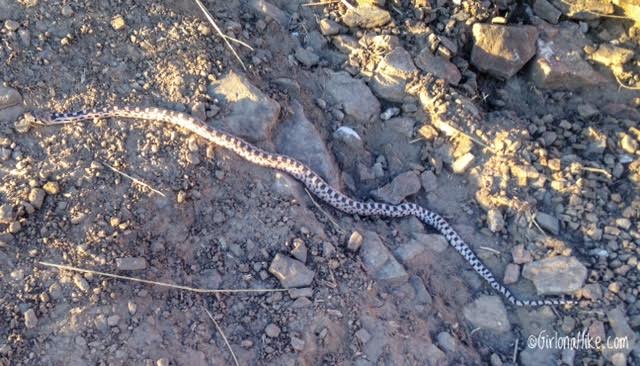
People always ask me, “How often do you see snakes while hiking around SLC or in the Wasatch?” I have lived in Utah for 8 years now, and have come across two snakes total, both on this trail. I saw one rattlesnake, and this one, a gopher snake. The next question is usually, “Well, what do you do with Charlie?” Honestly, Charlie doesn’t seem to notice. He’s too busy sniffing vegetation or following me on my heels. I saw this snake first, and just grabbed him and walked a safe distance around the snake. However, if you have a dog that is very inquisitive, then I recommend taking a local Rattlesnake Avoidance Dog Training class. You’ll know you are too close to a snake when they start to coil or rattle a noise or hissing sound. Otherwise, as long as you hike around them by 3-4 feet you will be fine.
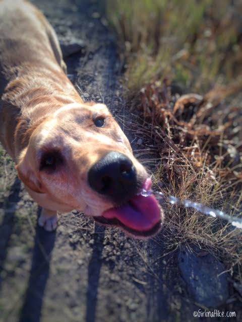
Puppy Hydration!
Dogs need to drink frequently on trails, just like humans. The amount of water a dog should drink depends on activity level, size, age, and weather, but in general should drink between 8-17oz of water per 10 lbs. Charlie is 70 lbs, so he needs ruffly 70 oz. I don’t carry a water bowel for him – all I do is fill my camelbak up full, and squirt water from my bite valve to his mouth. He has learned to drink from that, and it works great! No fussing with bowels. In summer, when it’s really hot, I will make him carry his backpack and two extra water bottles. Be sure to check out my post on Backpacking with Dogs.
May 2019
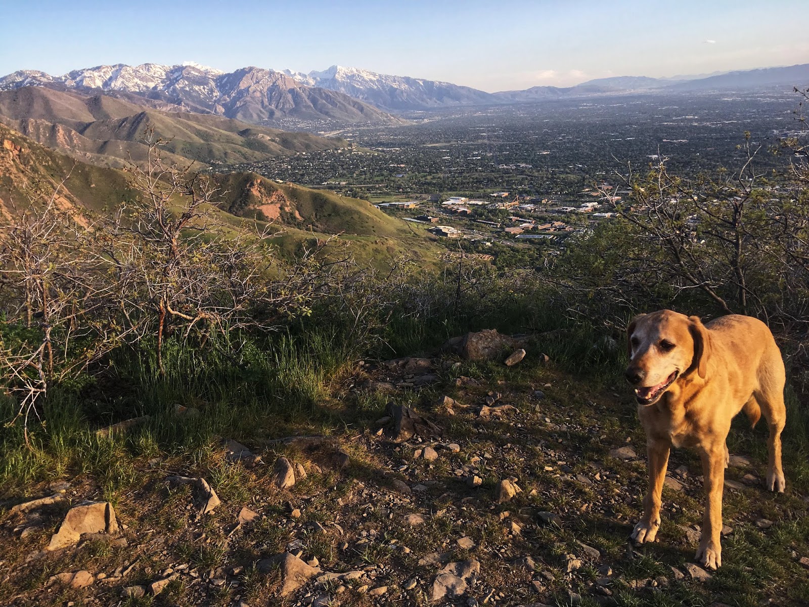
Super green in May!
Trail Map
My track via Gaia GPS – the best tracking app! Get your app here for a discount.
Nearby Hike
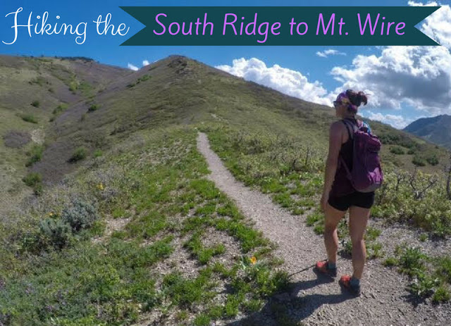
Hiking the South Ridge to Mt. Wire

Save me on Pinterest!
