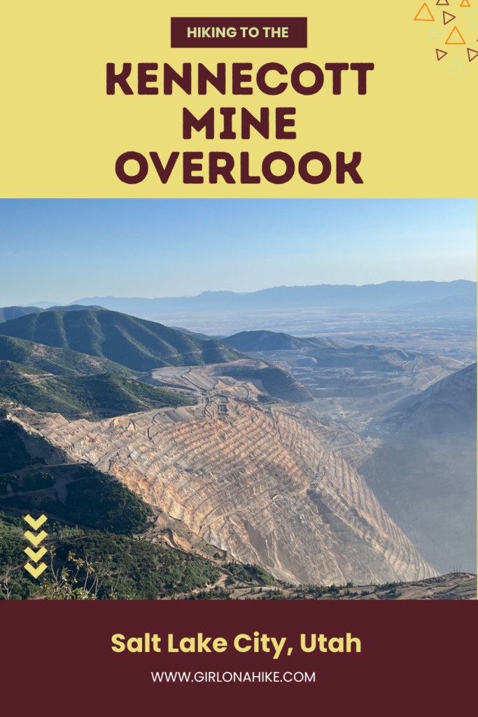

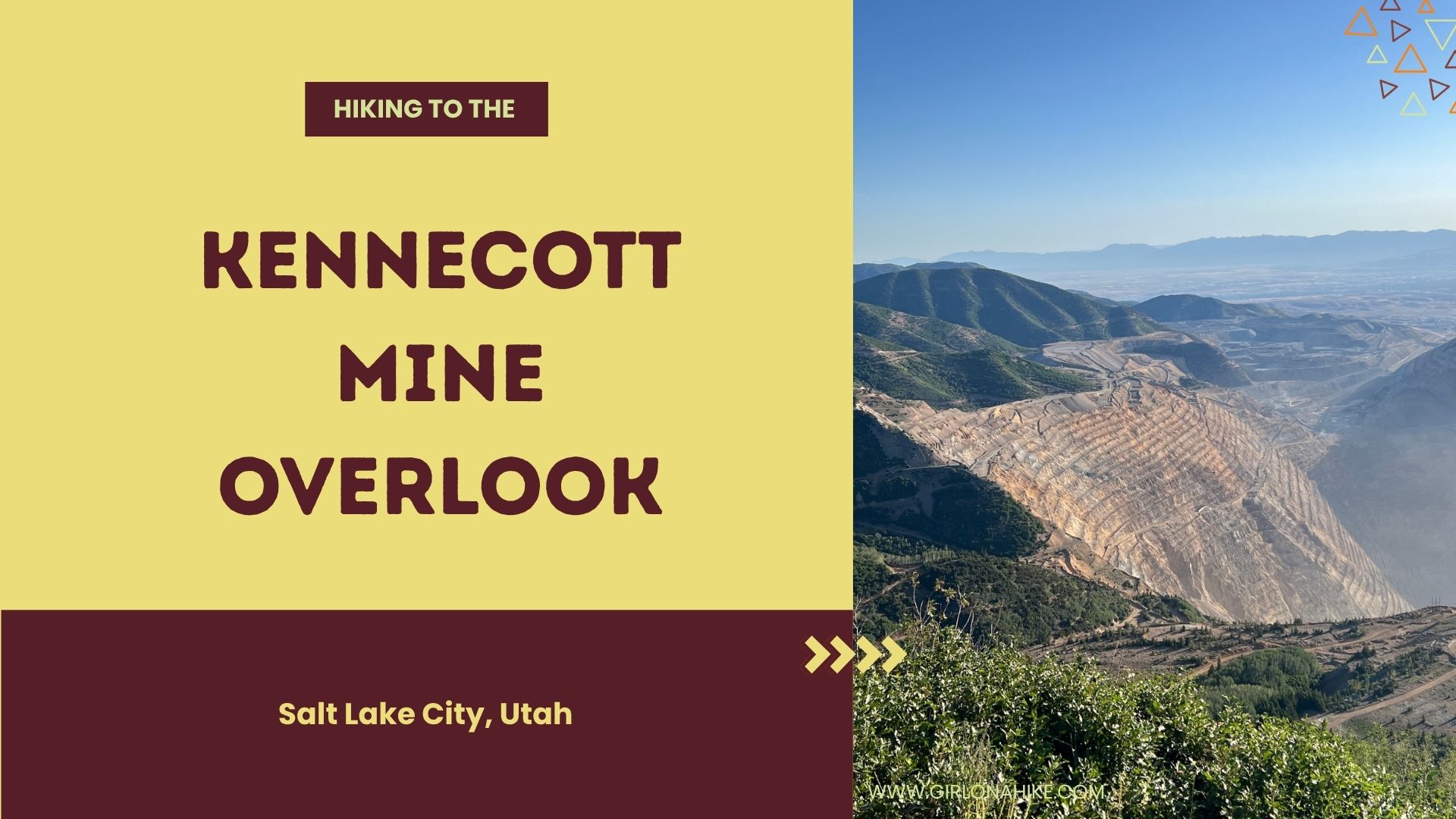
 Hiking to the Kennecott Mine Overlook is a short but rewarding hike or scenic drive that’s accessible during the summer months when Butterfield Peaks Road is dry and the seasonal gate is open.
About the Kennecott Mine Overlook
Perched high above one of the world’s largest open-pit copper mines, the Kennecott Mine Overlook offers a fascinating glimpse into Utah’s rich mining history and an incredible panoramic view of the massive mine. Whether you choose to hike or drive, this destination rewards visitors with sweeping views of the Oquirrh Mountains and the enormous terraced mine below.
Hiking to the Kennecott Mine Overlook is a short but rewarding adventure that’s best completed during the summer months when the Butterfield Peaks Road is dry and the seasonal gate is open. While it’s possible to drive to the overlook with a high-clearance SUV or truck, hiking the route allows you to slow down, take in the scenery, spot local wildlife, and fully appreciate the rugged landscape surrounding the mine. It’s an easy outing that’s perfect for anyone looking to combine a bit of exercise with one of Utah’s most unique viewpoints.
The Kennecott Bingham Canyon Mine is the largest man-made excavation on Earth and one of the world’s most productive open-pit copper mines. Located in the Oquirrh Mountains southwest of Salt Lake City, the mine has been in operation since 1906 and continues to produce copper, gold, silver, and molybdenum. At over 2.5 miles wide and nearly 0.75 miles deep, it’s so massive that it can even be seen from space. Bring binoculars to see to the bottom!
Directions
It’s easiest to type into Google Maps “Butterfield Peaks Trailhead” and have the directions guide you. You do not need a high-clearance vehicle from the East side (SLC side). I am not sure about driving up the West side (via Tooele).
Trail Info
Distance: 5 miles RT
Elevation gain: 1,164 ft
Time: 2-3 hours
Dog friendly? Yes, off leash but beware of cars
Kid friendly? Yes, ages 10+
Fees/Permits? None
What to Expect on the Kennecott Mine Overlook Hike
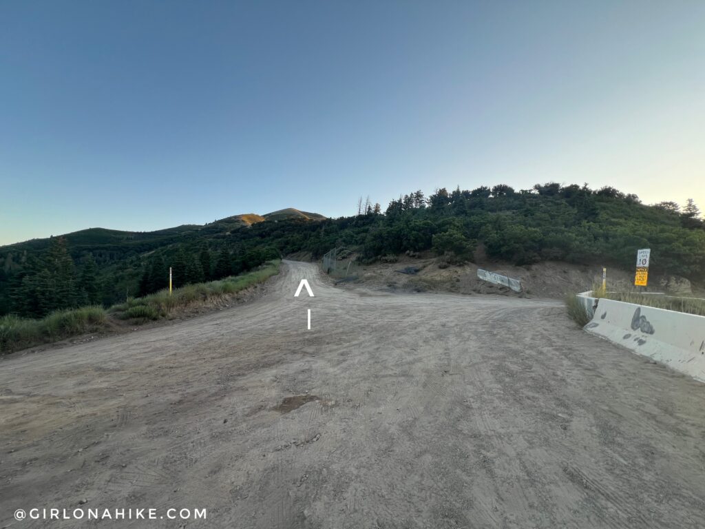
Start by hiking North at the pass. Only about 6-7 cars can fit in this area, so I recommend getting there early or going mid-week.
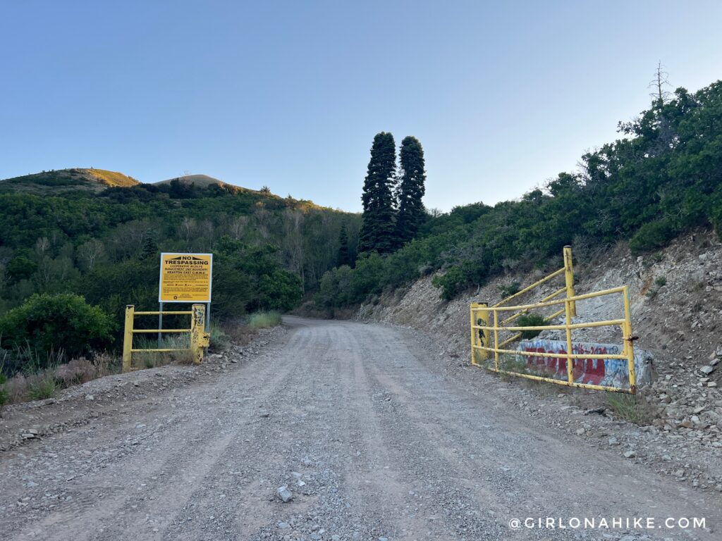
Within 5 minutes of hiking go through the yellow gate. There’s many no trespassing signs but as long as you stay on the road the public is allowed.
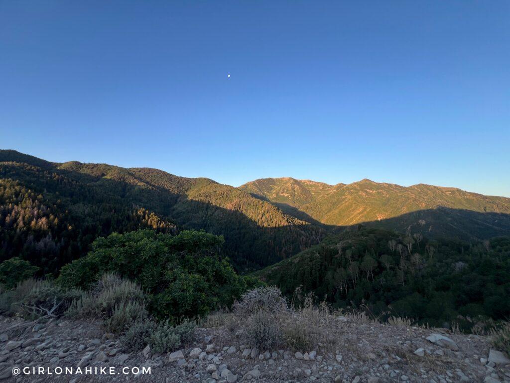
I loved the morning light on the ridge to the South. Those peaks are part of the Kelsey Peak & White Pine Peak ridge, past Butterfield Peaks (not shown on the left).
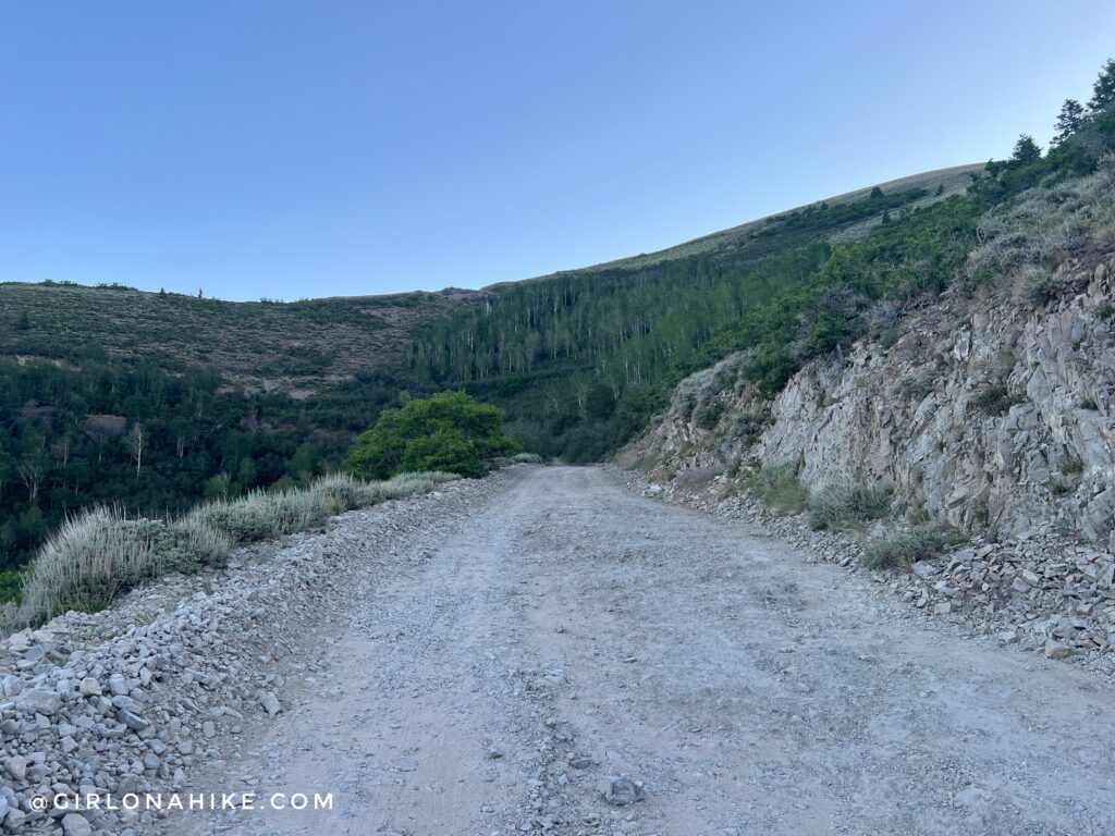
The hike is along the road and again, as long as you start early there won’t be too many cars or ATVs flying by.
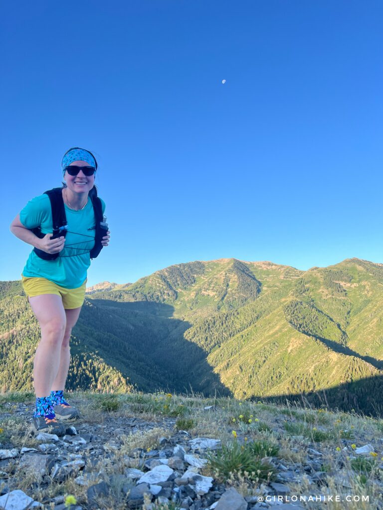
My favorite part of this hike was about 1.5 miles up, with a great view to the South again.
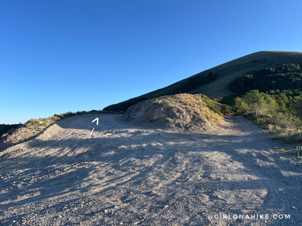
Continuing up the road, stay left at what looks like a split.
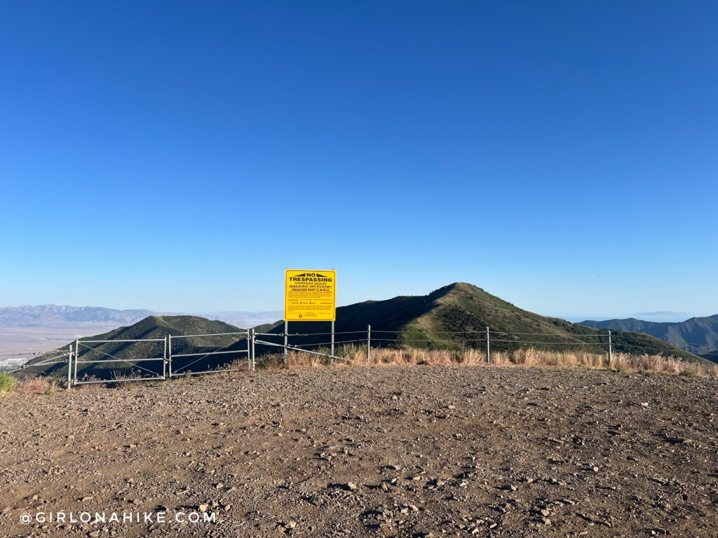
The end of the road.
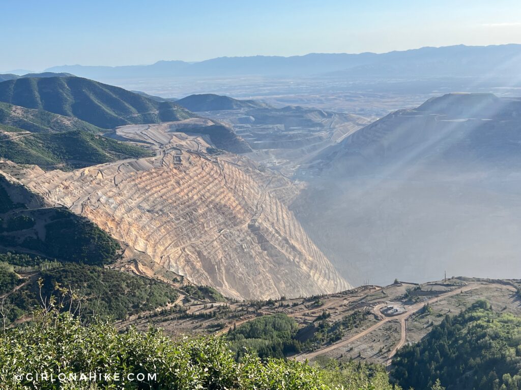
The Kennecott Mine is so deep you can’t even see the bottom from this overlook. They work 24/7 so there’s always dust blowing around. I wish I had brought binoculars!
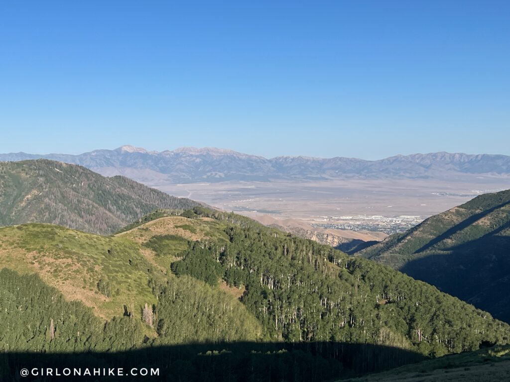
While I came up here for the mine views, I preferred looking West to Deseret Peak on this clear day.
Kennecott Mine Overlook Trail Map
My track via Gaia GPS – the best tracking app! Get your app here for a discount.
Recommended Hike

Save me on Pinterest!