
About
While there is a sign that dogs must be on leash, just a heads up no one follows that rule. If you’re looking for a trail where people follow that, this is not the area to take them.
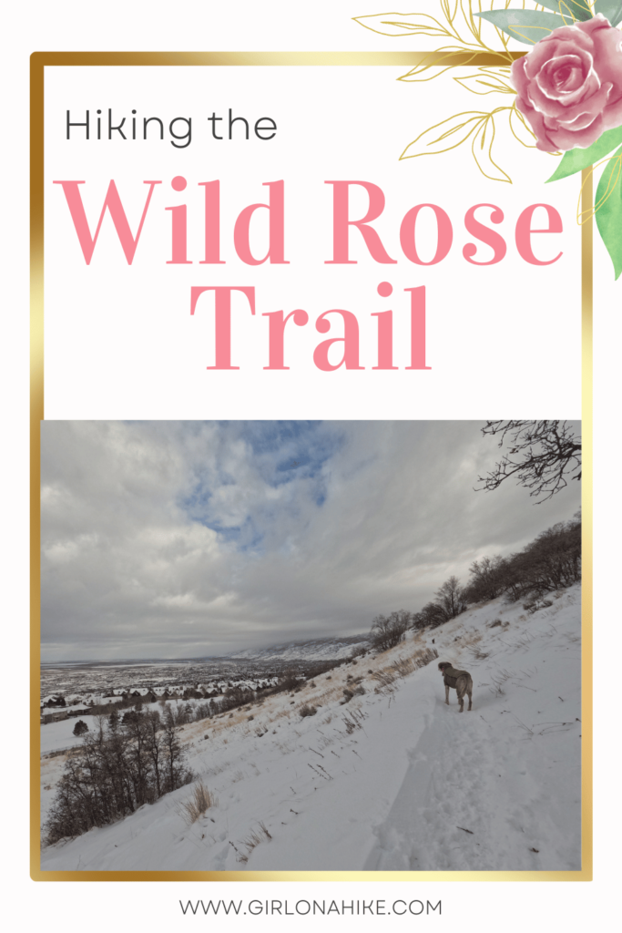
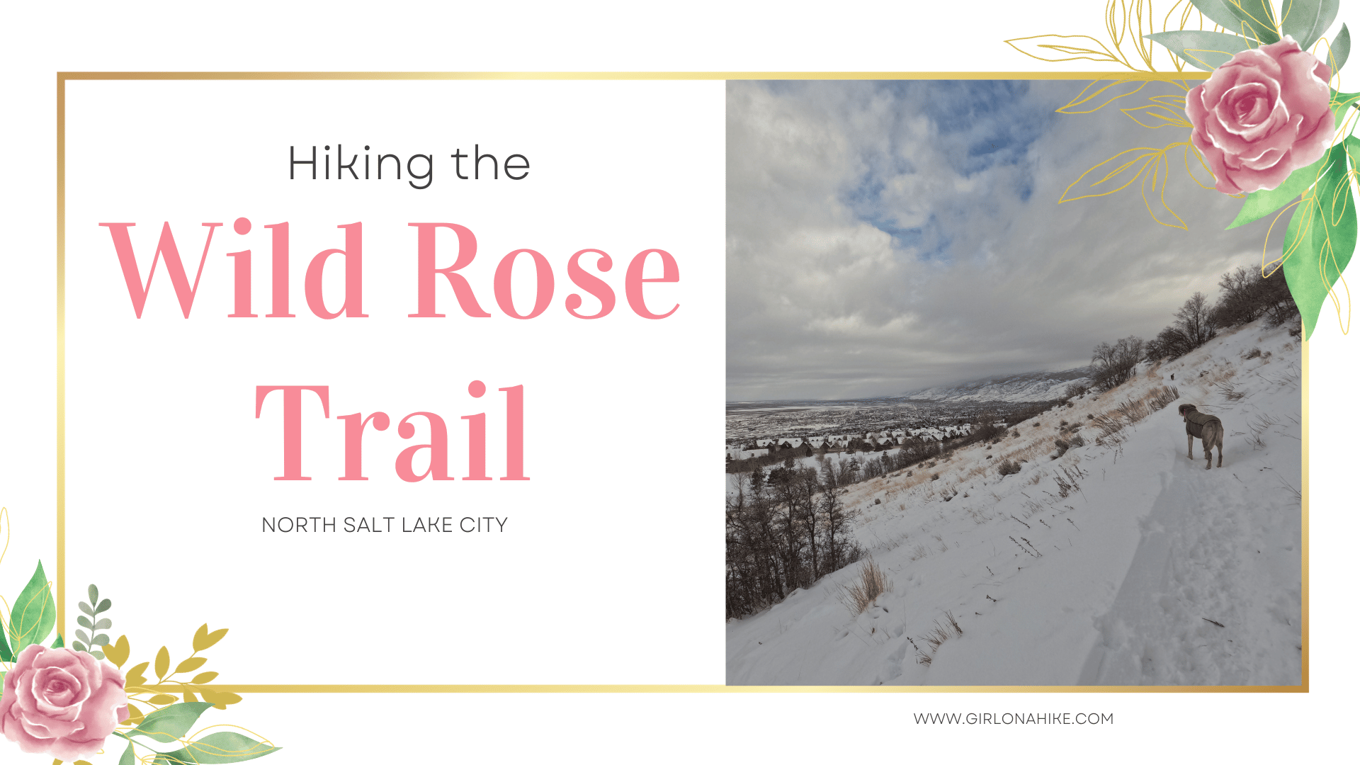
It’s best to take dogs to the Wild Rose Trail in Winter so you don’t have to worry about bikes flying down the trail, and it’s a much cooler hike. This trail can get pretty hot in warm months, as there is no shade, and there’s no water available for your pup.
Directions
Head north on I-15 and take exit 312. At the first light (Eagle Ridge Dr) turn right, then continue straight around the round-a-bout. Follow Eagle Ridge Dr as it winds its way through the neighborhood; watch out for the many potholes. Turn right on Eagle Pointe Dr, then left on Sky Crest Lane. The parking lot can fit about 30 cars, and restrooms are available (however they are closed during winter). Here’s a driving map.
Trail Info
Distance: Varies, but we hiked 2.5 miles RT
Elevation gain: 400 ft
Time: 1-3 hours
Dog friendly? Yes, off leash
Kid friendly? Yes, all ages!
Fees/Permits? None
Hiking the Wild Rose Trail: What to Expect
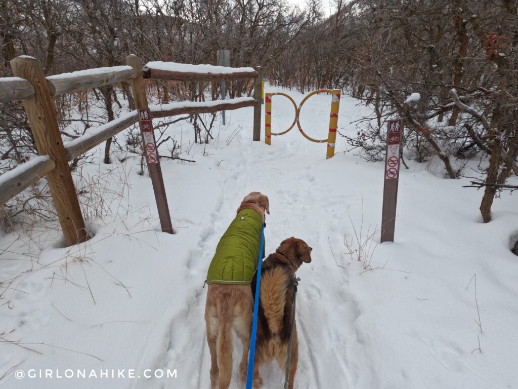
The trail starts by following the narrow paved path along the wood fence. You will then go through the small yellow “gate”. This is where I let the dogs off leash, just so we are away from the parking lot and playground area.
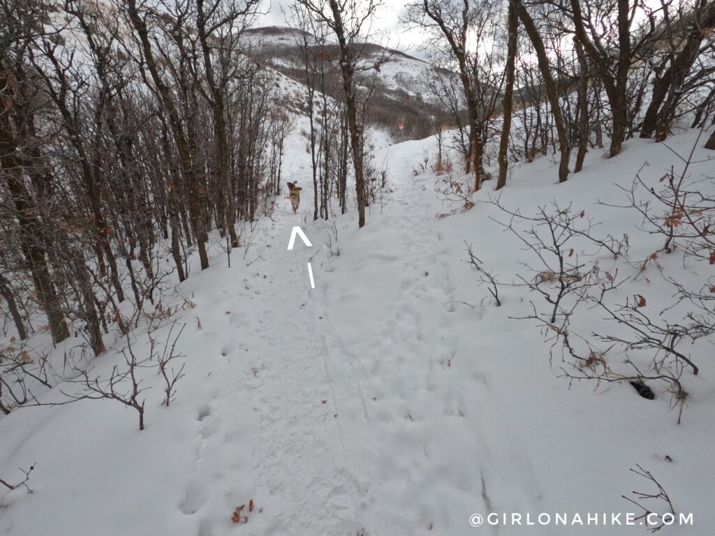
Stay straight, and then veer left. Going uphill and right puts you on the “downhill” section of the trail, and you might see bikes flying down. Even in winter fat tire bikes will ride here, so it’s best to hike The Wild Rose Trail in a counterclockwise direction.
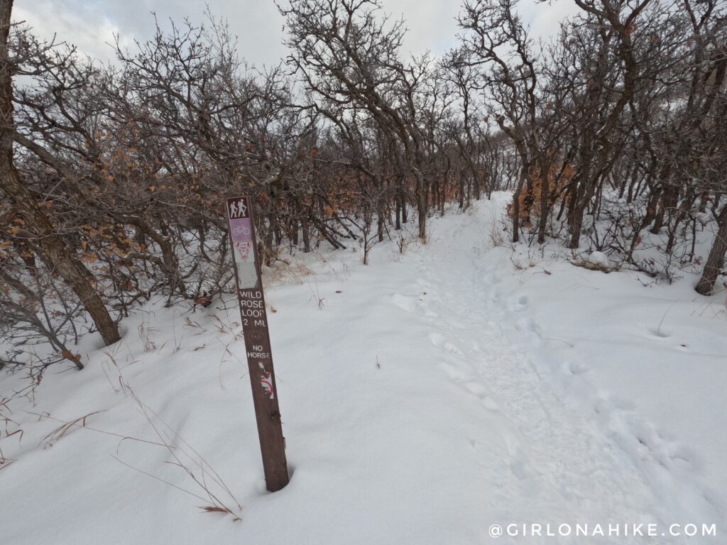
The great thing about the Wild Rose Park & Trail is that you can choose your own distance and route, as there are several mini loops. This is the first time you will see the actual sign for the Wild Rose Trail loop.
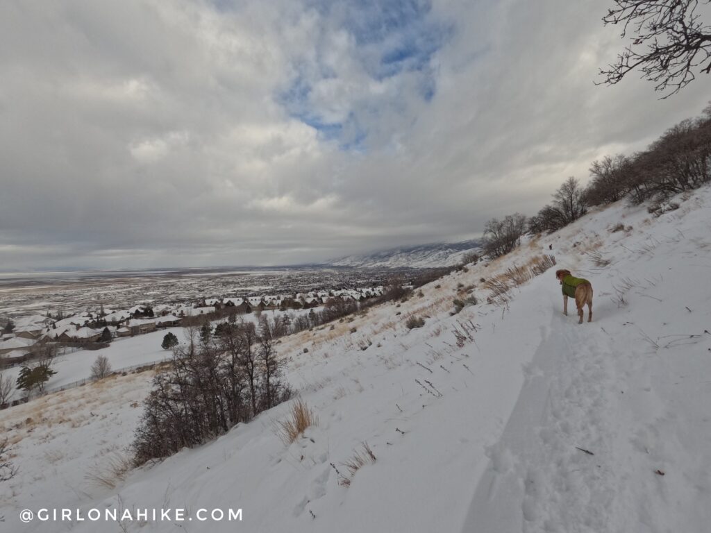
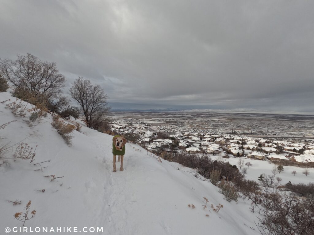
Within the first 1/2 mile, you have great views of Bountiful and the Eaglewood Golf Course.
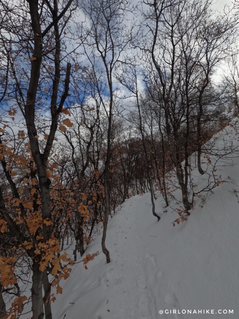
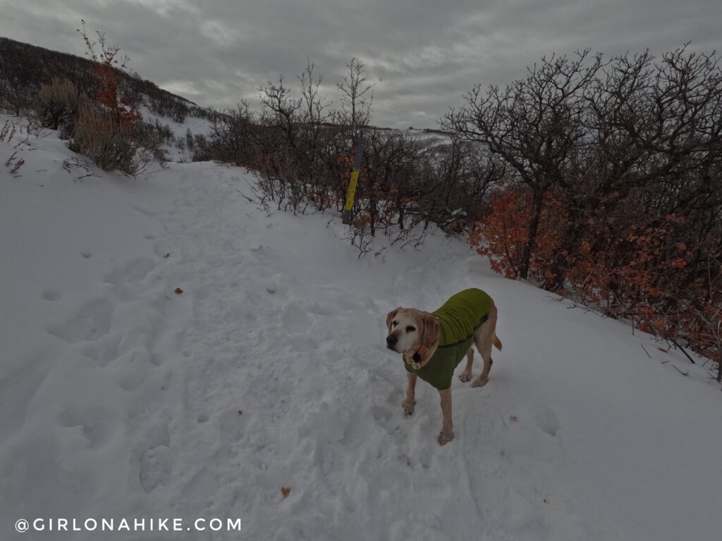
One section of trees line the trail. The rest of the area is all low shrub bushes.
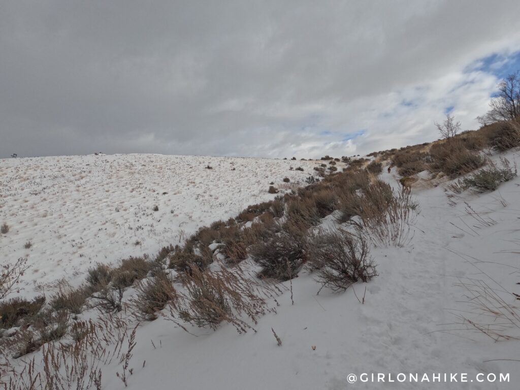
Most of the Wild Rose Trail loop is just short, scenic switchbacks.
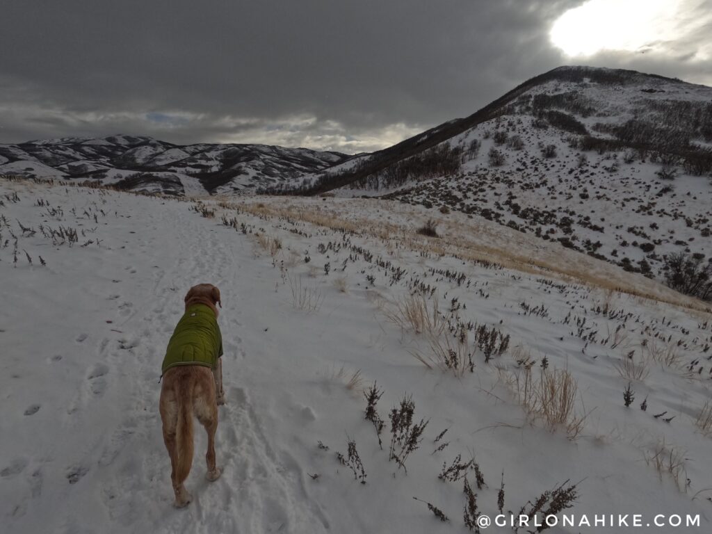
For the most part, you can see the entire “bowl” of mountains you will be hiking around. The flat part ahead is the nice, main overlook called Sunset Point we are hiking to.
Scenic View Point
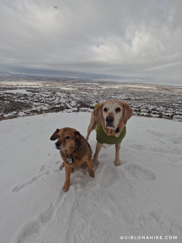
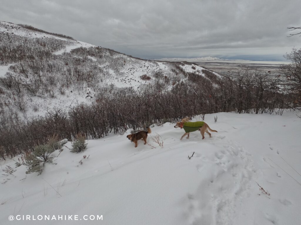
Charlie and his pal, Chewy, at Sunset Point. This is a great spot to turn around if you need something super short and/or have young kids who don’t want to continue. This is the best part of the trail in my opinion – we love views!
On a clear day, you can see Deseret Peak and Stansbury Island. On this day a winter storm was about to hit.
We wanted to keep going, so we hiked beyond the overlook continuing up the trail.
We followed the ridge back and continued onto the Chukar Loop Trail, staying left at the junction. For those looking for a shorter hike, you can take the right-hand shortcut to reduce mileage and elevation gain.
The Wild Rose Trail is mainly really long switchbacks, hiking above and below where you just were. At times it was confusing. We were like, “Weren’t we just here?!” Thankfully at each trail split, there is a map showing exactly where you are. After taking the higher trail, we made our way back down to the car for a chill 2.2 miles.
Trail Map
Nearby Hike
Hiking to Matt’s Arch & Meridian Peak

Save me on Pinterest!